The Snapshots in Time Collection
Gallery: blue side a
World War II U.S. Army Air Forces silk escape and evasion maps from the 345th Bombardment Group collection at Ie Shima, showing the oceanographic "blue side" panels covering Japan, Korea, Manchuria, China, and French Indochina. Printed on lightweight waterproof cloth for durability and silence, these charts packed ocean current, wind, and magnetic variation data into a compact survival aid for downed aircrew navigating hostile territory.
WWII Silk Escape and Evasion Map, Sea of Japan / East China Sea / South China Sea Sector - Ie Shima 345th Bomber Group Collection
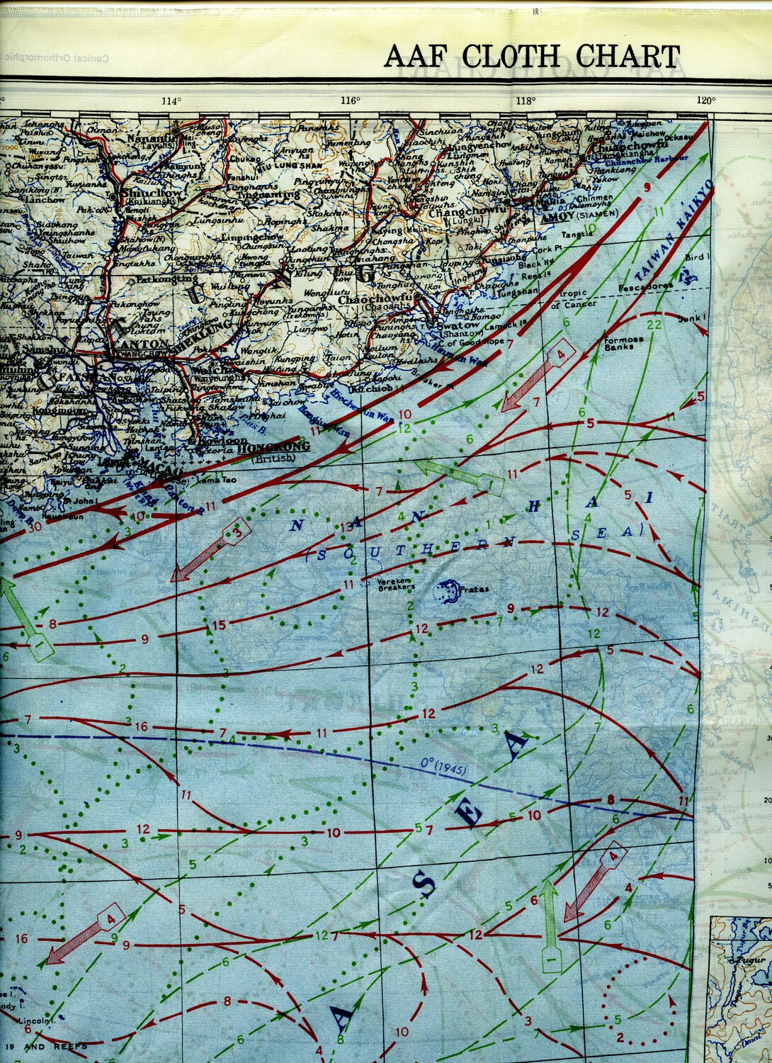
AAF Cloth Chart Detail - South China Coast (Canton, Hong Kong, Macao, Swatow, Amoy) and Formosa Strait
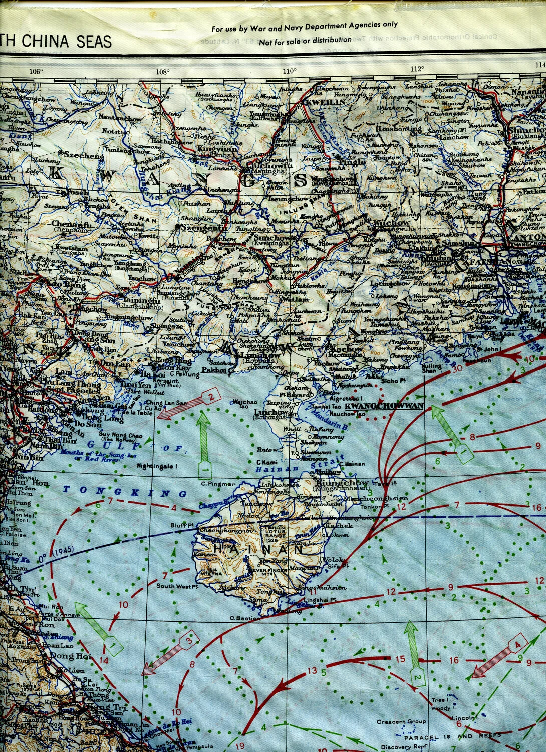
WWII AAF Silk Escape and Evasion Map - South China Sea, Hainan Island and Gulf of Tonkin (Blue Side)
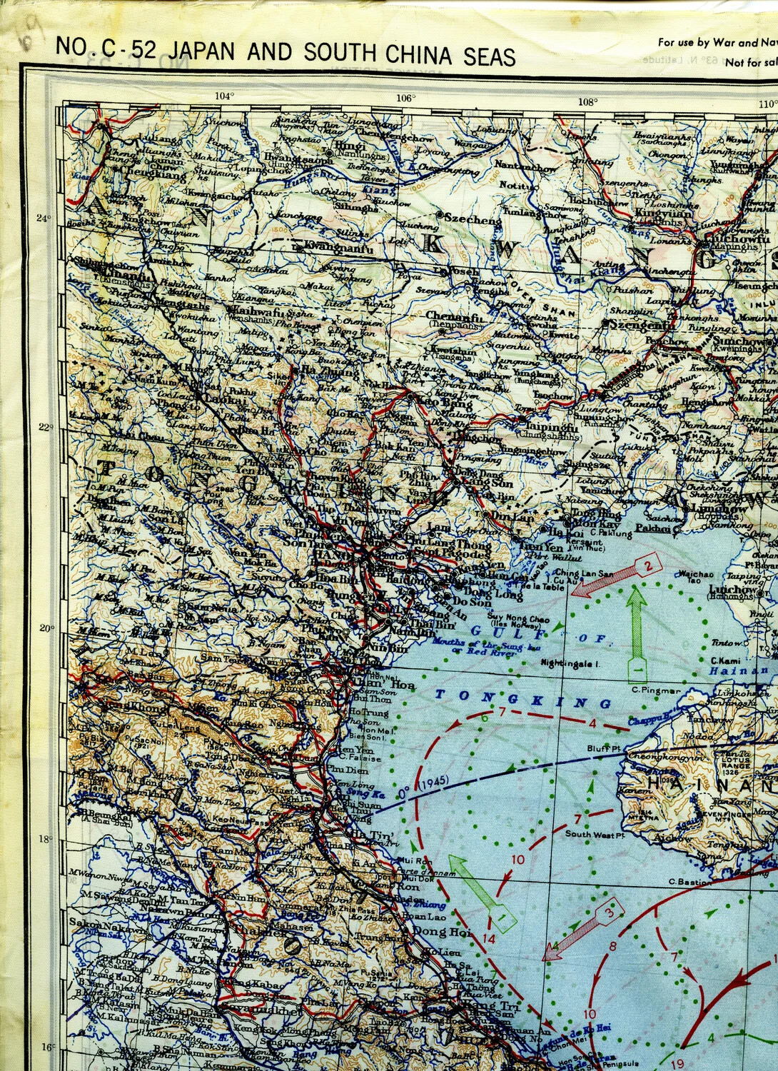
WWII Escape and Evasion Silk Map, Sheet No. C-52 'Japan and South China Seas' — Gulf of Tonkin/Hainan/Hanoi Section
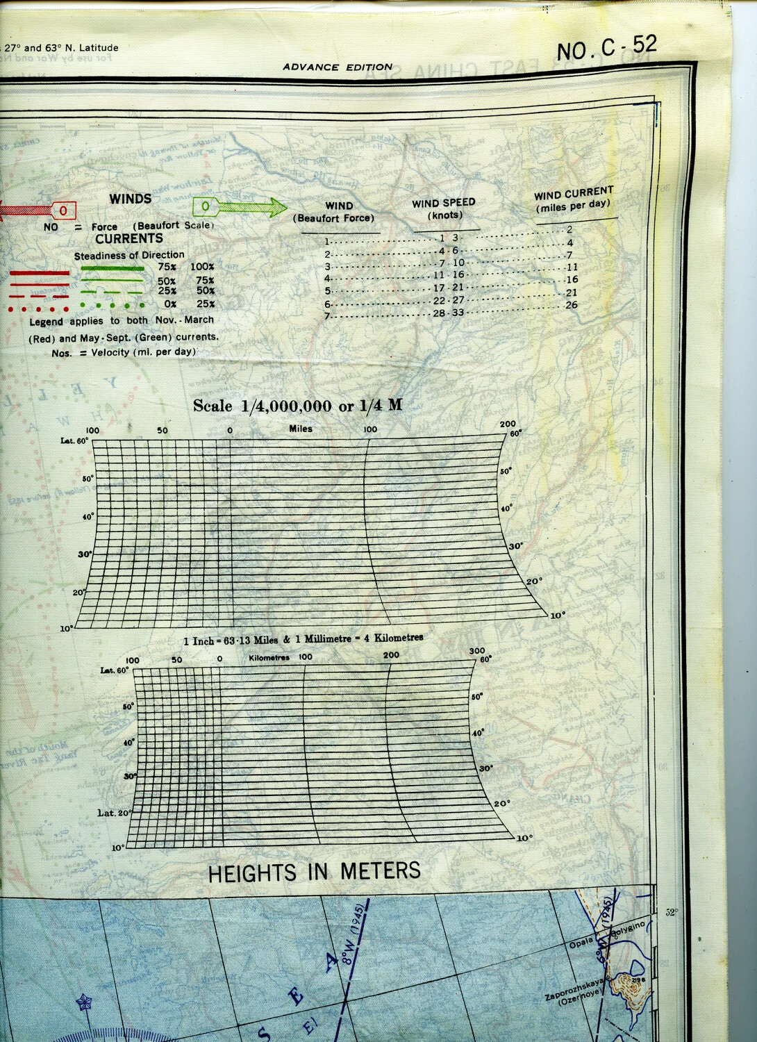
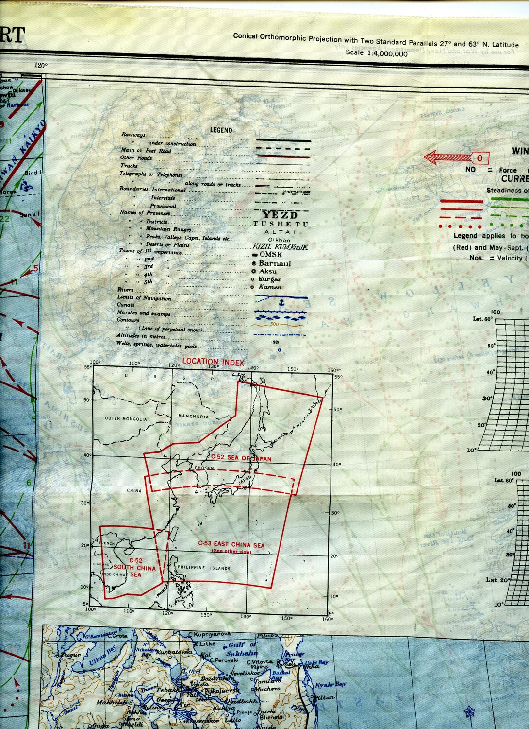
AAF Cloth Chart No. C-52 - Legend, Wind/Current Key, and Scale Bar Detail
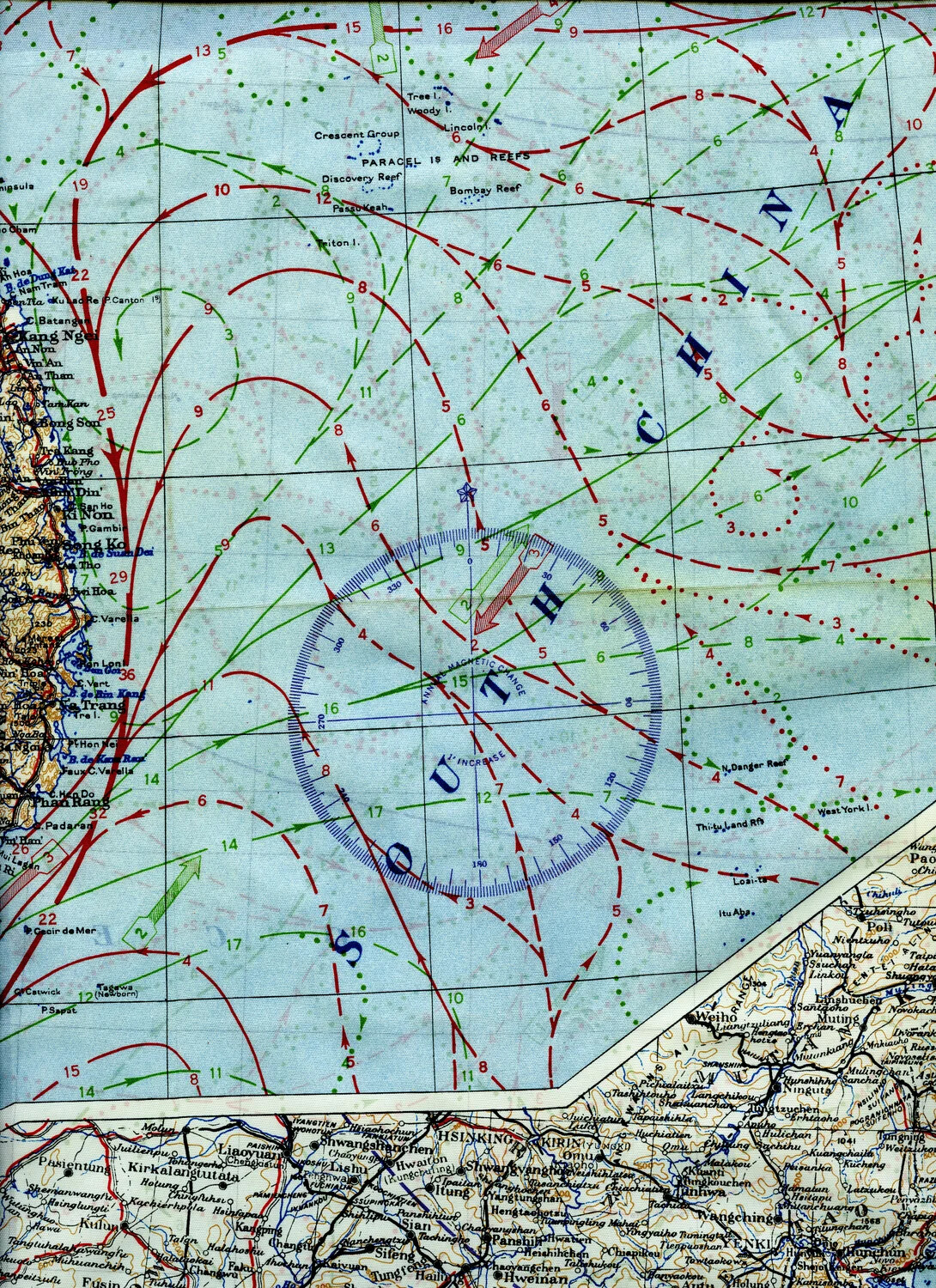
AAF Cloth Chart Detail - South China Sea with Paracel Islands, Central Vietnam Coast, and Manchuria Inset
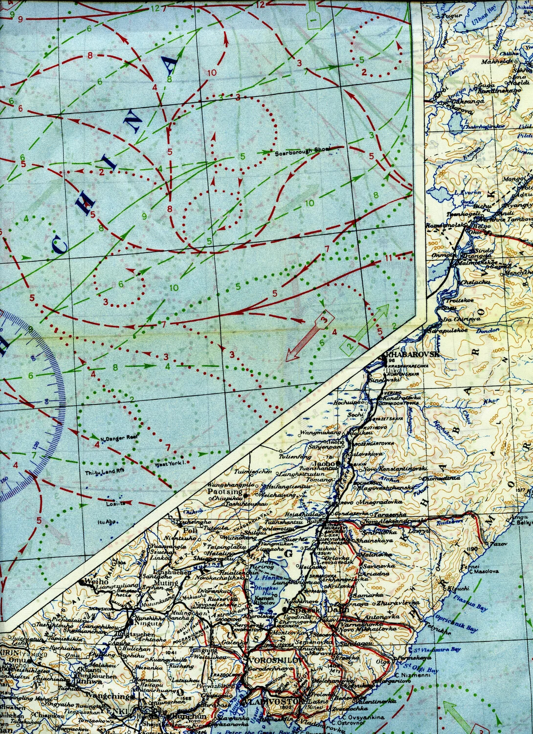
AAF Cloth Chart Detail - South China Sea (Scarborough Shoal) with Soviet Far East (Khabarovsk/Vladivostok) Inset
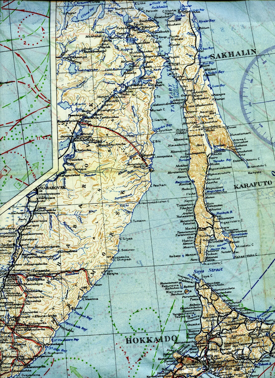
AAF Cloth Chart Detail - Sakhalin Island (Karafuto), Tartary Strait, and Hokkaido
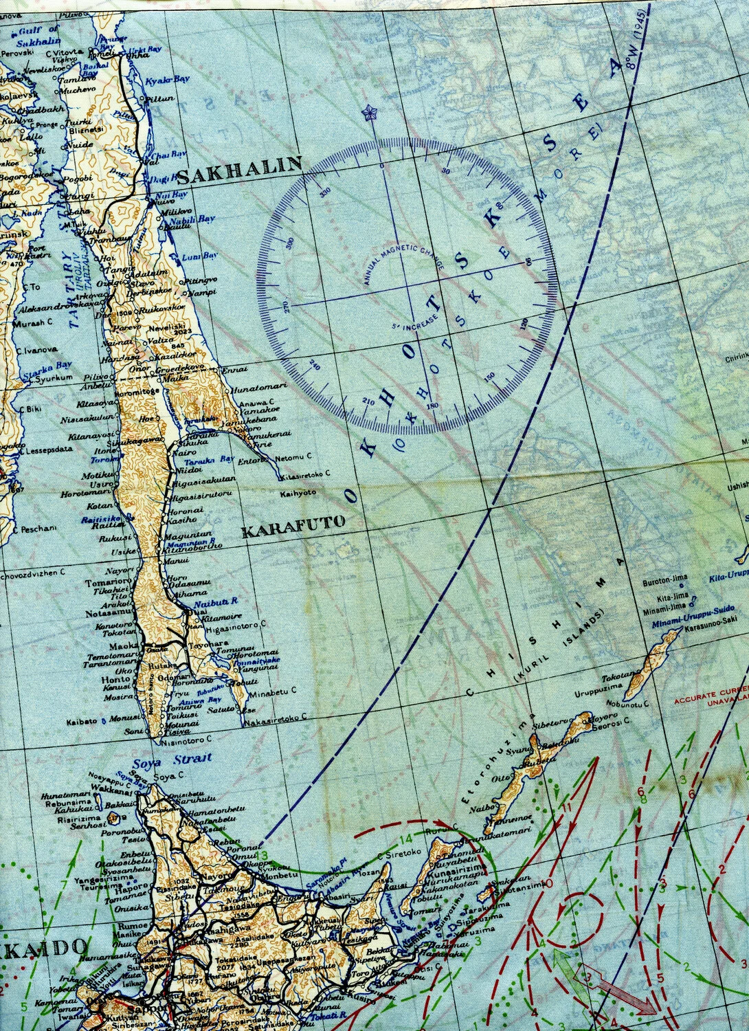
WWII Silk Escape and Evasion Map, Sakhalin/Kuril Islands Sector, 345th Bomber Group Collection
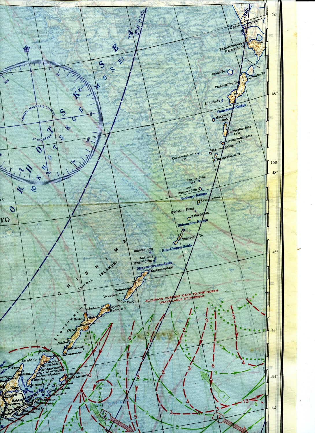
WWII Silk Escape Map, Kuril Islands (Chishima) Section, Blue Side
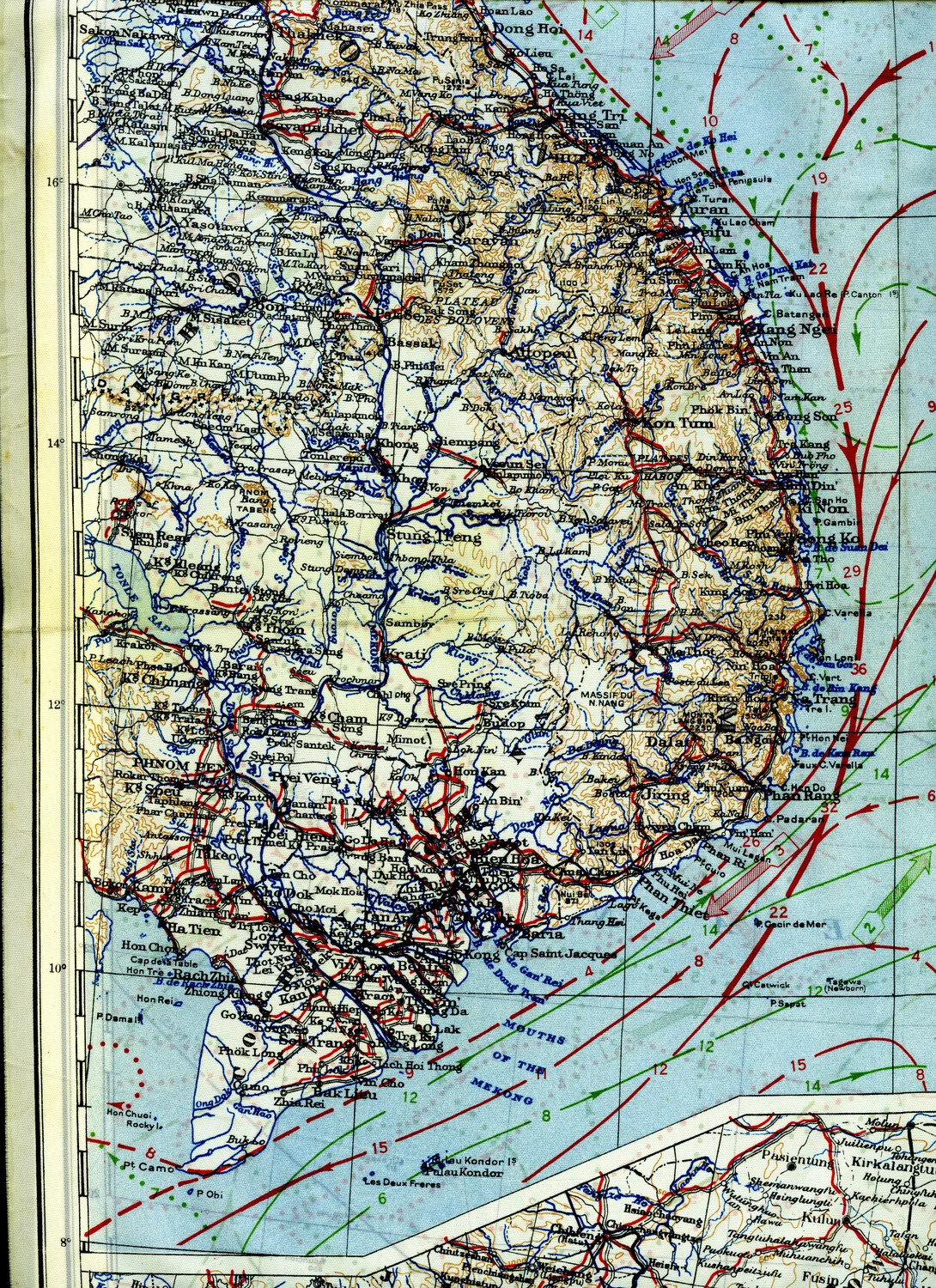
WWII AAF Silk Escape and Evasion Map -- French Indochina Section (345th Bombardment Group Collection, Ie Shima)
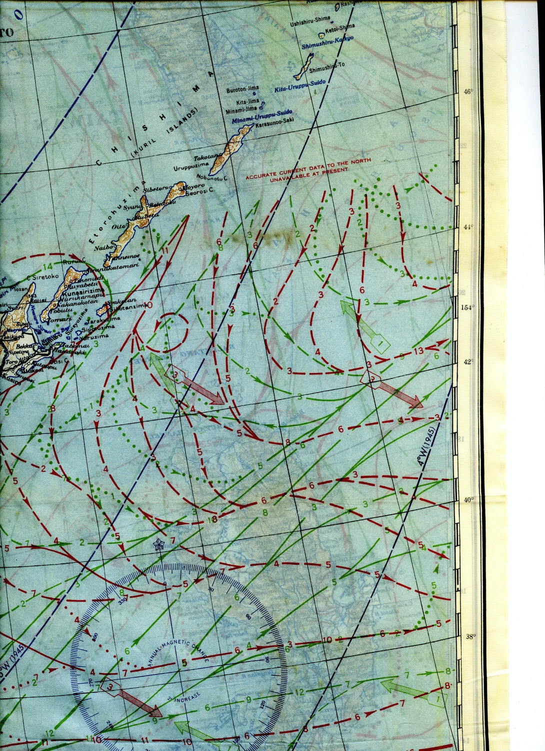
WWII Silk Escape and Evasion Map, Kuril Islands (Chishima) Region – Ocean Current Overprint, 345th Bomber Group Collection
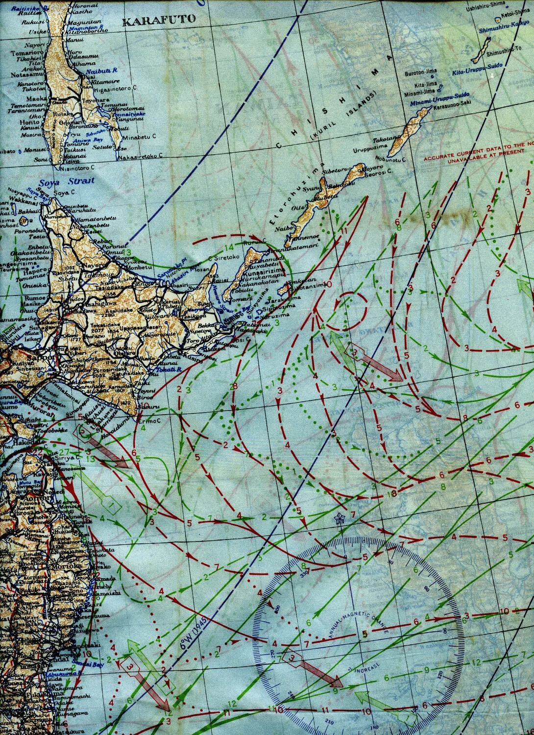
WWII Silk Escape Map — Northern Japan, Karafuto, and Kuril Islands (Chishima), Blue Side A
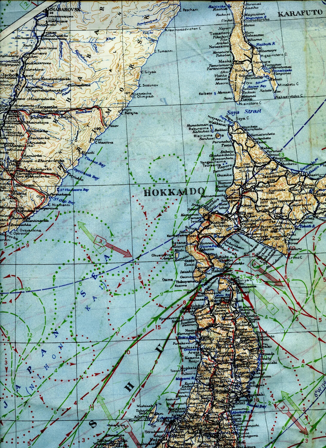
WWII U.S. Army Air Forces Silk Escape and Evasion Map — Hokkaido, Karafuto, and Siberian Coast, Sea of Japan Region
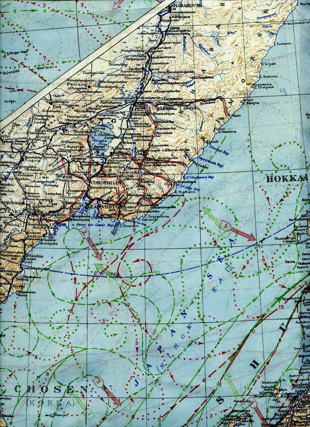
WWII Silk Escape Map Fragment ('Blue Side'), Sea of Japan / Korea / Siberian Coast Region, 345th Bomber Group Collection
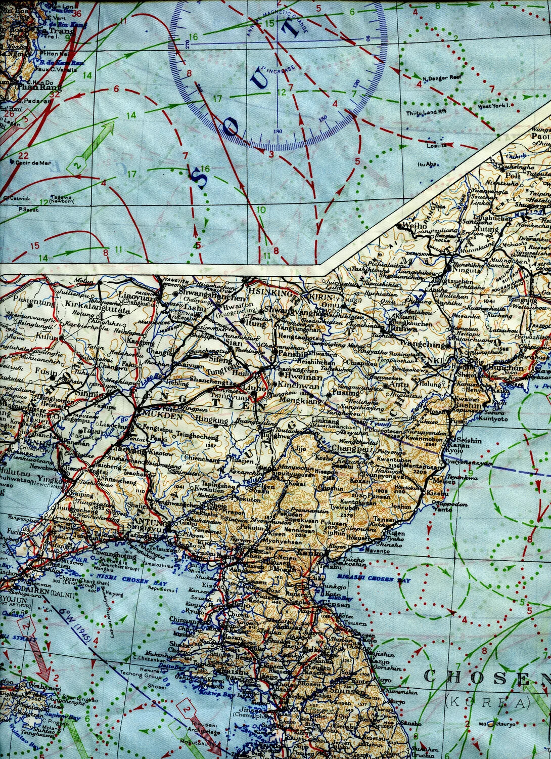
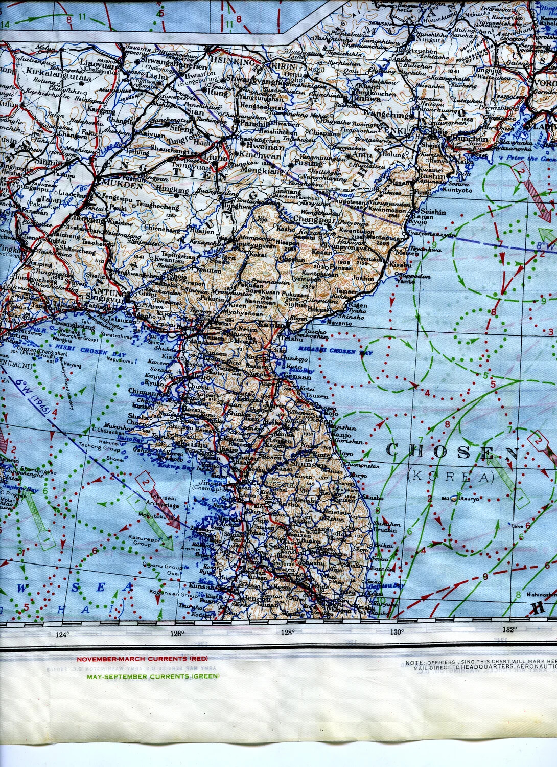
WWII Silk Escape Map Section — Manchuria and Korea (Chosen), 345th Bombardment Group Collection
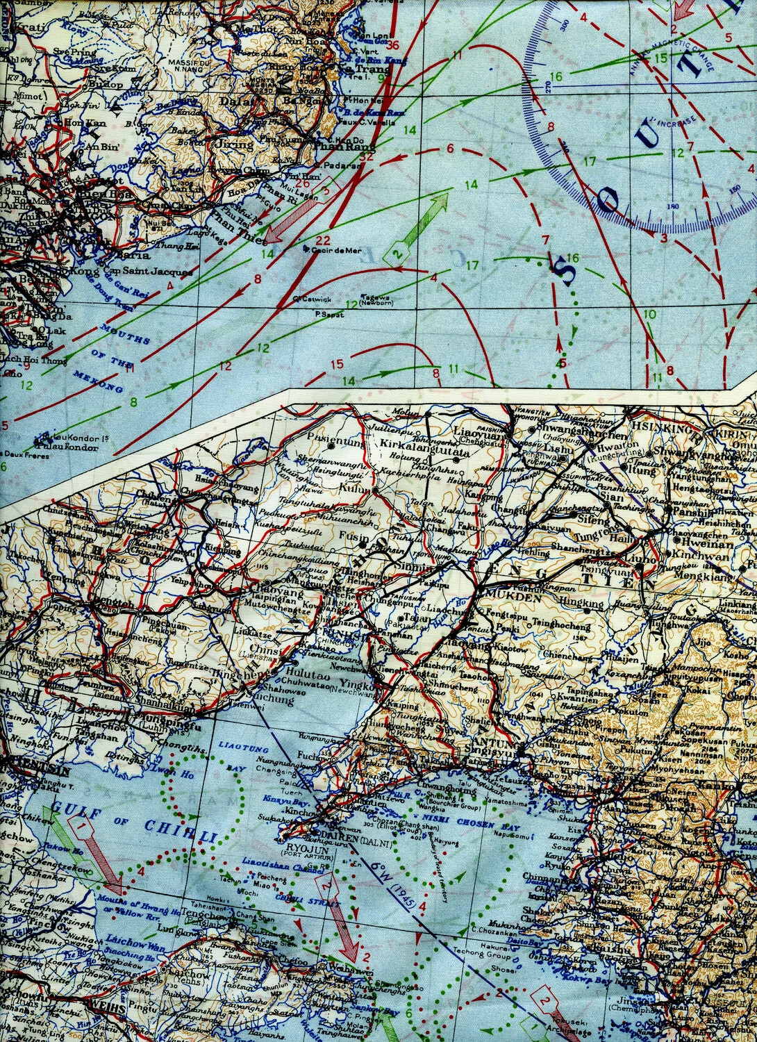
WWII Silk Escape and Evasion Map, South China Sea / Manchuria Panel, 345th Bombardment Group Collection
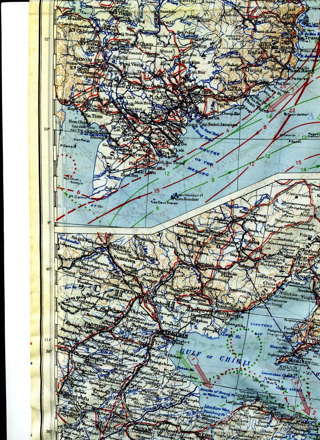
WWII Silk Escape Map Section — French Indochina Coast and North China (Peking/Tientsin/Gulf of Chihli)
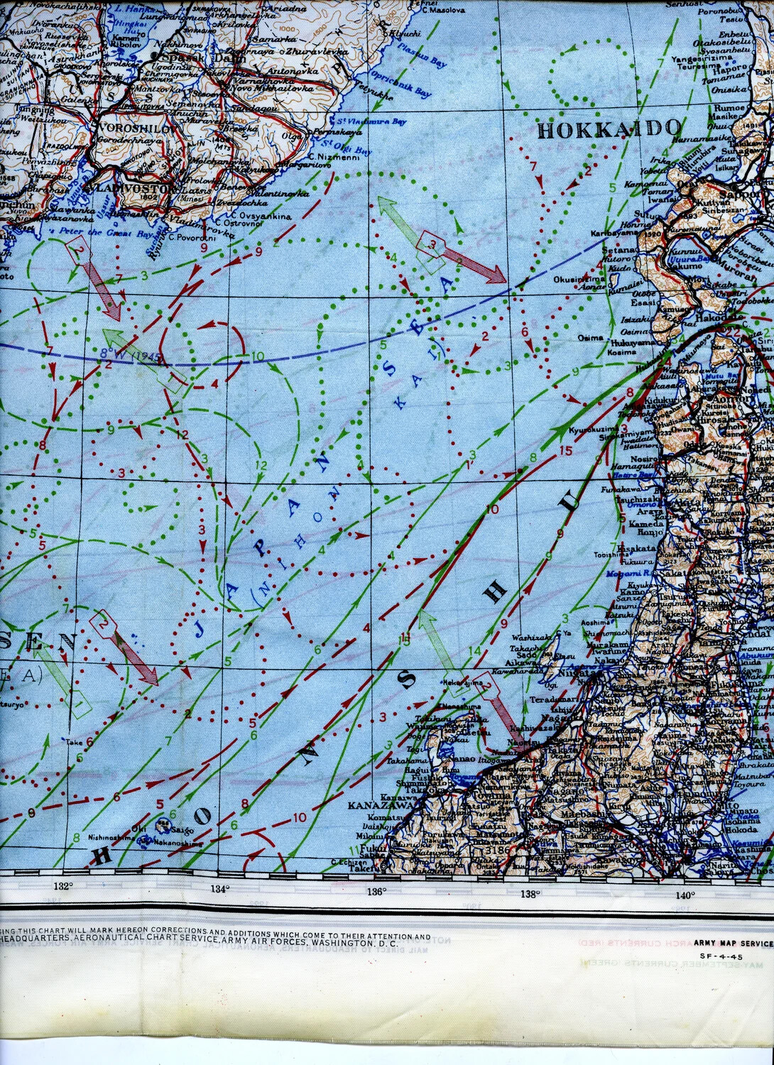
WWII Silk Escape Map, Sea of Japan/Hokkaido-Honshu Region with Ocean Current Overlay, 345th Bomber Group Collection
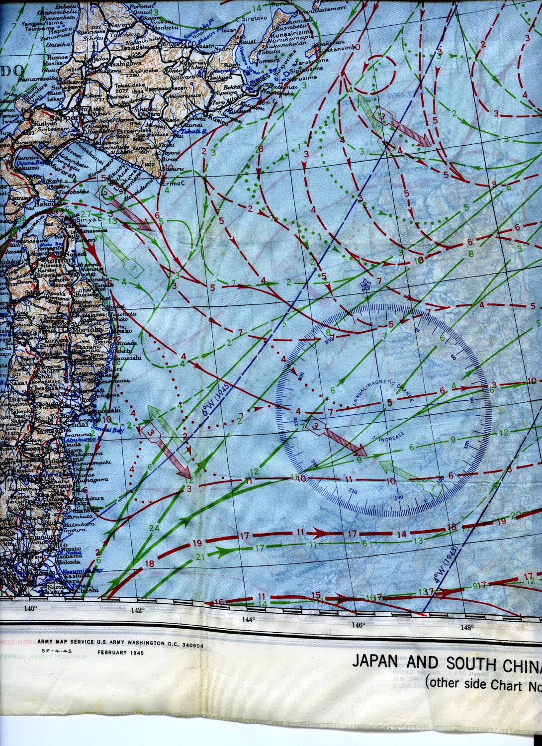
WWII AAF Silk Escape and Evasion Map, "Japan and South China" — Blue (Oceanographic) Side, Army Map Service, February 1945
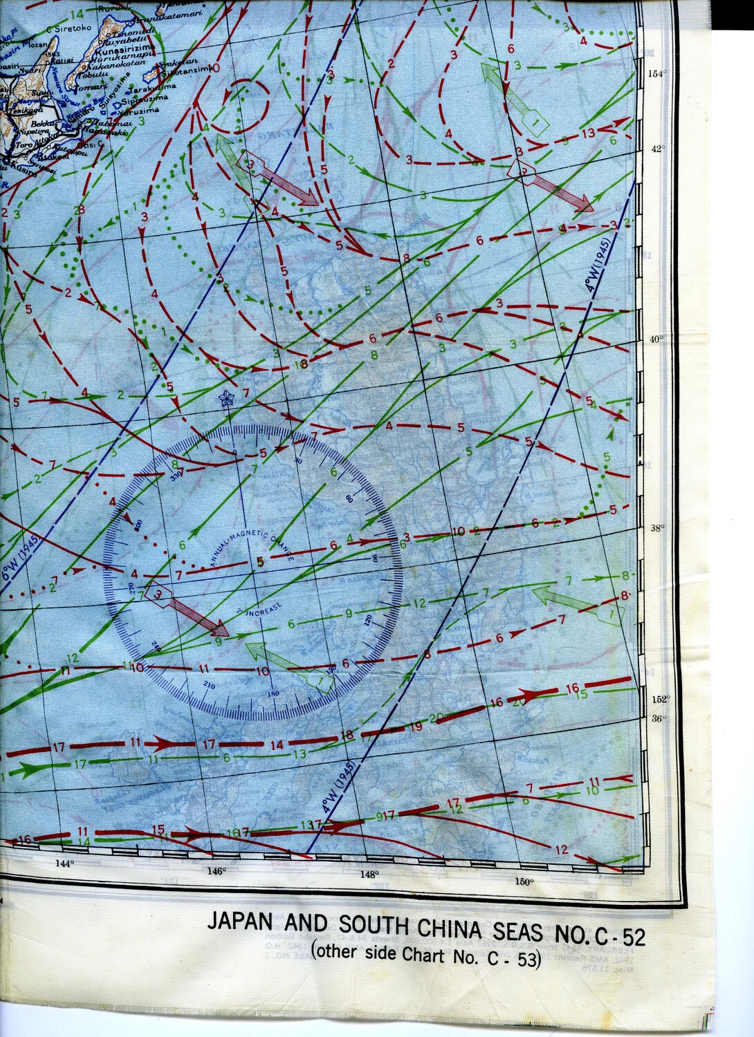
WWII Silk Escape Map, "Japan and South China Seas No. C-52," 345th Bomber Group Collection
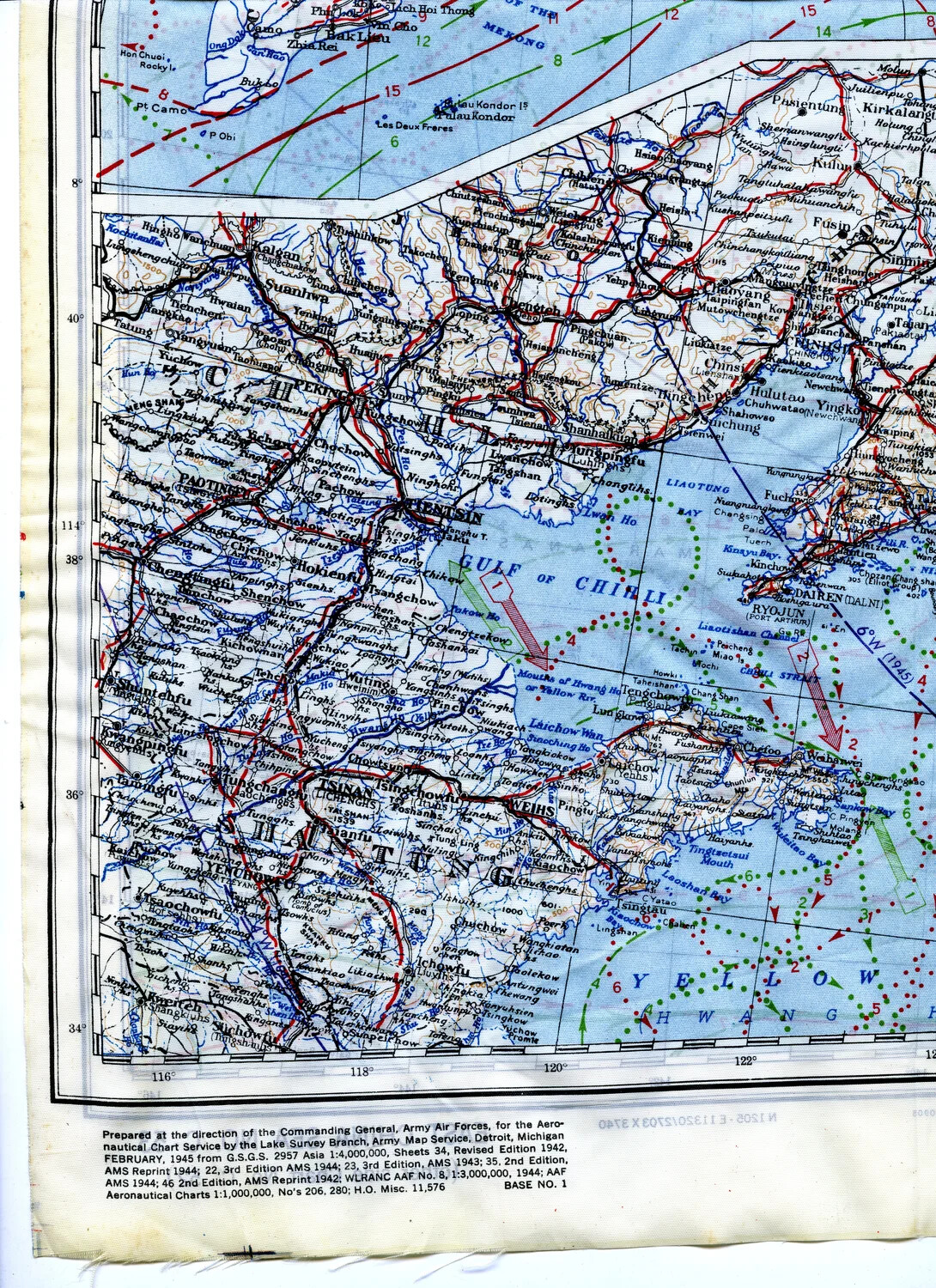
WWII AAF Silk Escape & Evasion Map, North China Coast (Peking-Tsingtao-Yellow Sea Region), February 1945