The Snapshots in Time Collection
WWII AAF Silk Escape and Evasion Map, "Japan and South China" — Blue (Oceanographic) Side, Army Map Service, February 1945
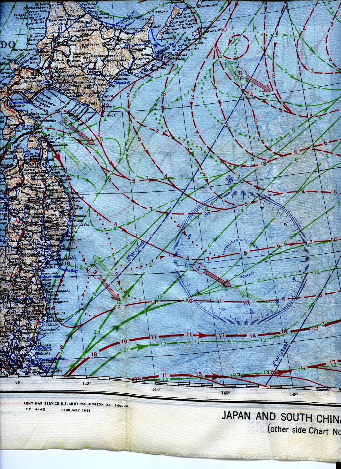
This is a section of a U.S. Army Air Forces silk escape and evasion map covering the Japanese home islands, printed by the Army Map Service in February 1945. Issued to bomber crews such as those of the 345th Bomber Group flying from Ie Shima, these lightweight, waterproof silk maps could be sewn into flight clothing or carried in escape kits, offering a downed airman a compact and durable navigation aid for evading capture behind enemy lines. Project: 218277