The Snapshots in Time Collection
WWII Silk Escape Map Section — French Indochina Coast and North China (Peking/Tientsin/Gulf of Chihli)
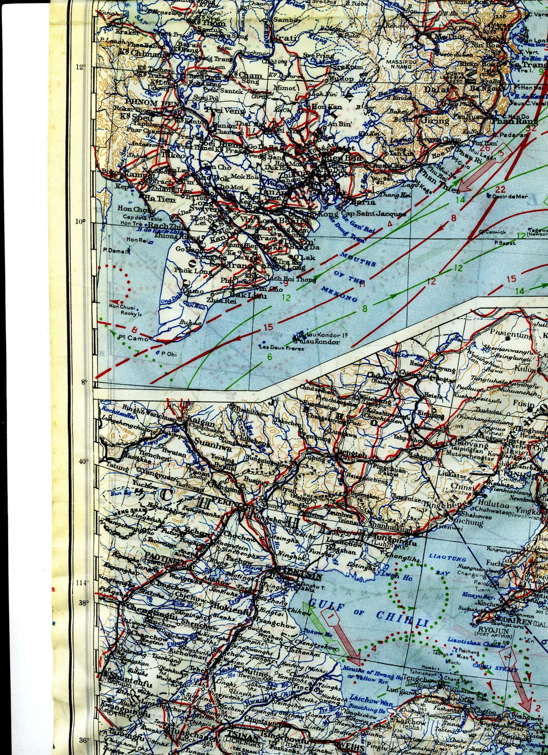
Printed on silk for durability and silence, escape maps like this one gave downed Allied aircrew a lightweight, concealable way to navigate unfamiliar and hostile territory. This section covers the coast of French Indochina and the Peking-Tientsin region of North China, reflecting the vast geographic scope of Pacific and Asian theater air operations in WWII. Project: 218277