The Snapshots in Time Collection
WWII Silk Escape and Evasion Map, Sea of Japan / East China Sea / South China Sea Sector - Ie Shima 345th Bomber Group Collection
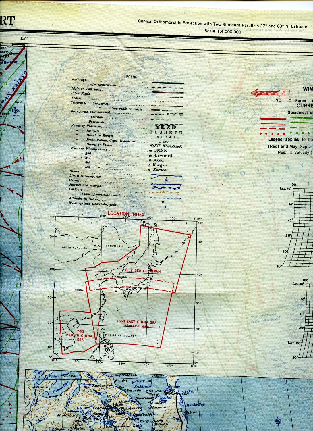
Silk escape maps such as this one were standard survival equipment for Allied aircrews flying missions over the Pacific and Asian theaters during World War II. Printed on fabric so they could survive water immersion, folding, and rough handling, these maps helped downed airmen navigate toward safety. This example, from the 345th Bombardment Group collection associated with Ie Shima, details the Sea of Japan, East China Sea, and South China Sea, illustrating the vast geographic scope over which Pacific air operations were conducted. Project: 218277