The Snapshots in Time Collection
WWII Silk Escape Map — Northern Japan, Karafuto, and Kuril Islands (Chishima), Blue Side A
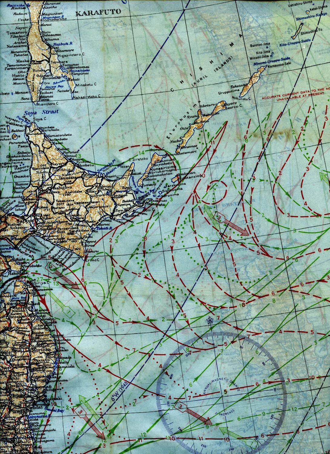
A silk escape and evasion map issued to Allied aircrew during World War II, covering northern Japan, Karafuto (Sakhalin), and the Kuril Islands. Printed on cloth for durability and silence, such maps were carried in survival kits to aid downed airmen navigating unfamiliar or hostile territory, supplemented here with ocean current and magnetic variation data for over-water navigation. Project: 218277