The Snapshots in Time Collection
WWII AAF Silk Escape & Evasion Map, North China Coast (Peking-Tsingtao-Yellow Sea Region), February 1945
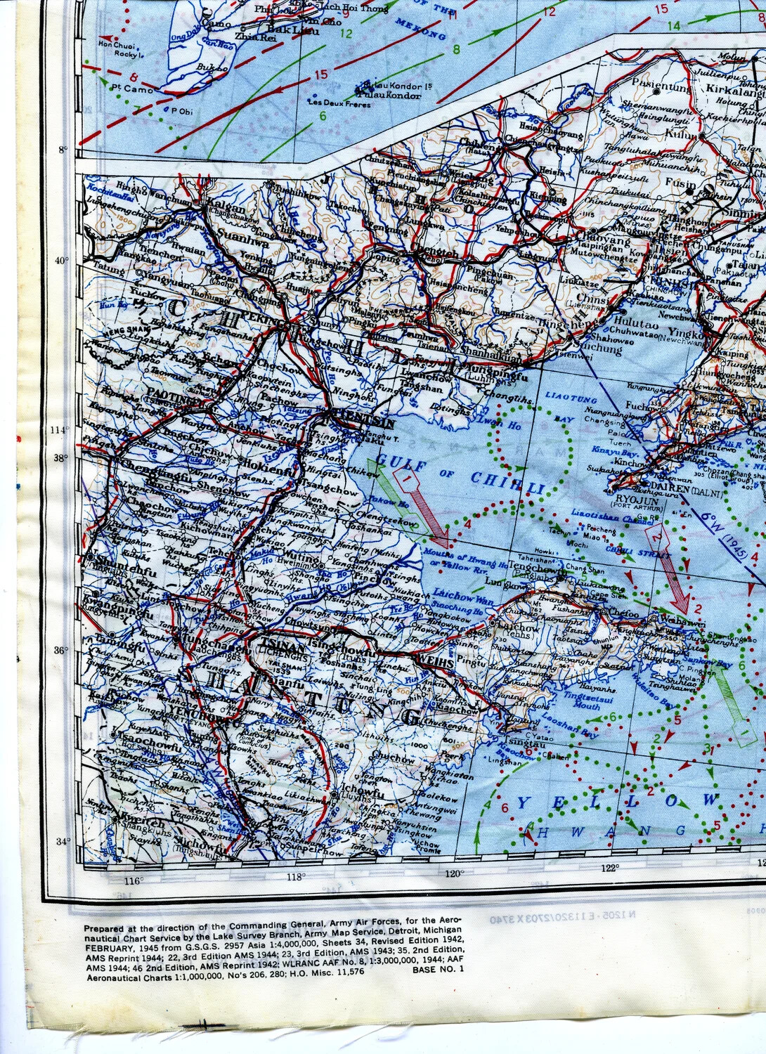
A section of a WWII U.S. Army Air Forces silk escape-and-evasion map depicts the North China coast from Peking to Tsingtao and the Yellow Sea. Printed on cloth for durability, these maps were carried by aircrew of units like the 345th Bomber Group as survival aids in case they were shot down over enemy territory. Project: 218277