The Snapshots in Time Collection
WWII AAF Silk Escape and Evasion Map - South China Sea, Hainan Island and Gulf of Tonkin (Blue Side)
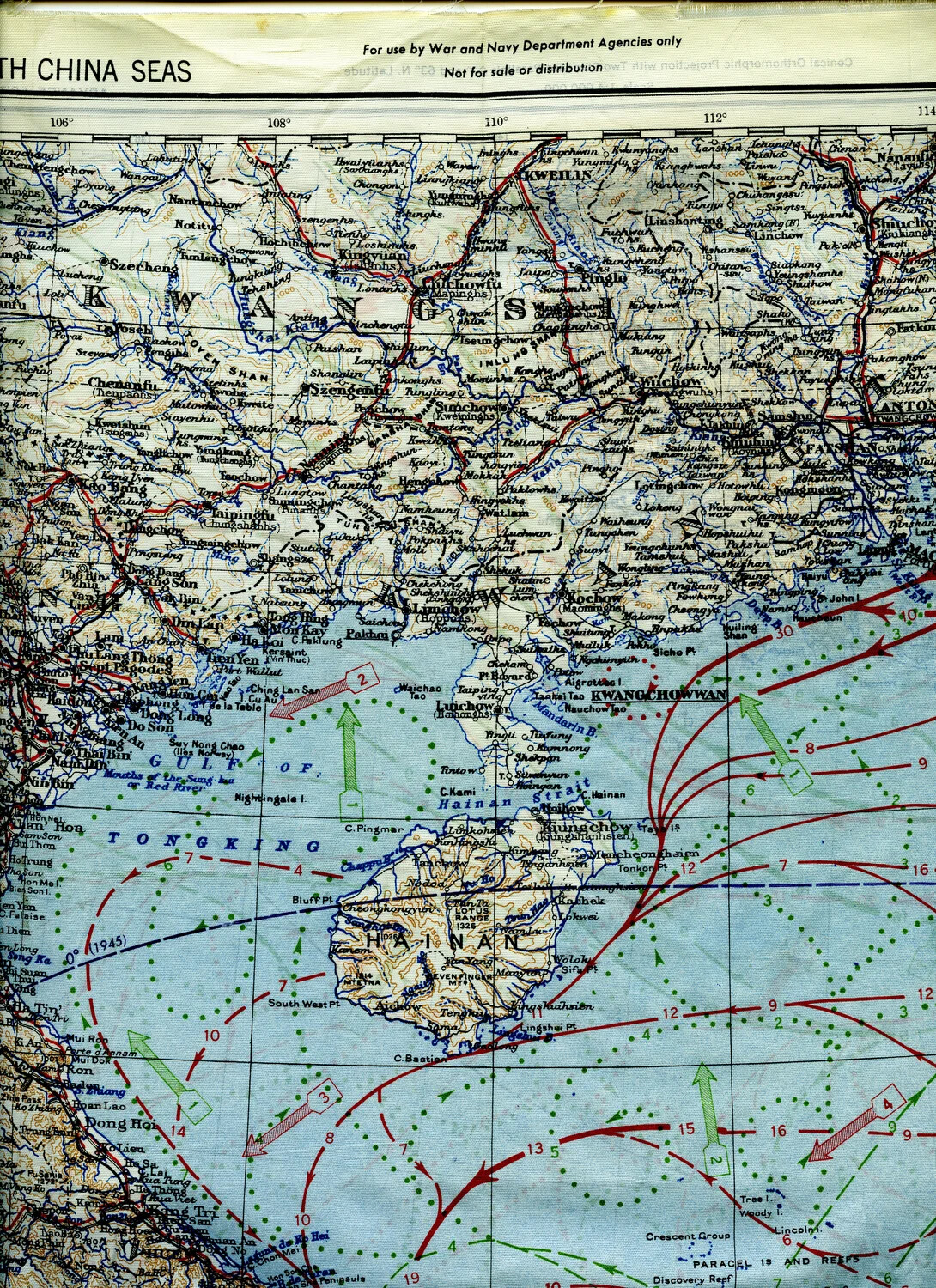
This silk escape map, printed for restricted use by War and Navy Department agencies, depicts the South China Sea coastline from Kwangsi Province to Hainan Island and the Gulf of Tonkin. Lightweight, silent, and durable when wet, silk maps like this were carried by American aircrew - including airmen of the 345th Bombardment Group flying from Ie Shima - to aid navigation and evasion if shot down over enemy-held territory along the China coast. Project: 218277