The Snapshots in Time Collection
WWII Escape and Evasion Silk Map, Sheet No. C-52 'Japan and South China Seas' — Gulf of Tonkin/Hainan/Hanoi Section
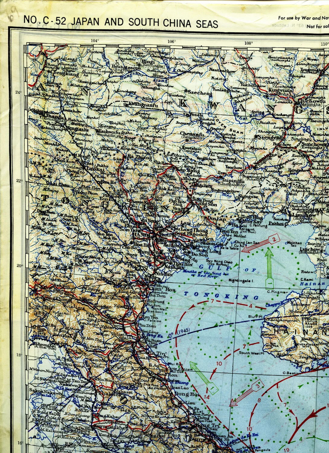
A section of a WWII silk escape-and-evasion map, Sheet No. C-52 'Japan and South China Seas,' covering the Gulf of Tonkin, Hanoi, and Hainan Island. Printed on silk for durability and concealability, maps like this were carried by American aircrews as survival aids in case of being shot down over enemy territory, with hand- or print-added route markings suggesting use in mission planning. Project: 218277