The Snapshots in Time Collection
WWII Silk Escape Map, Kuril Islands (Chishima) Section, Blue Side
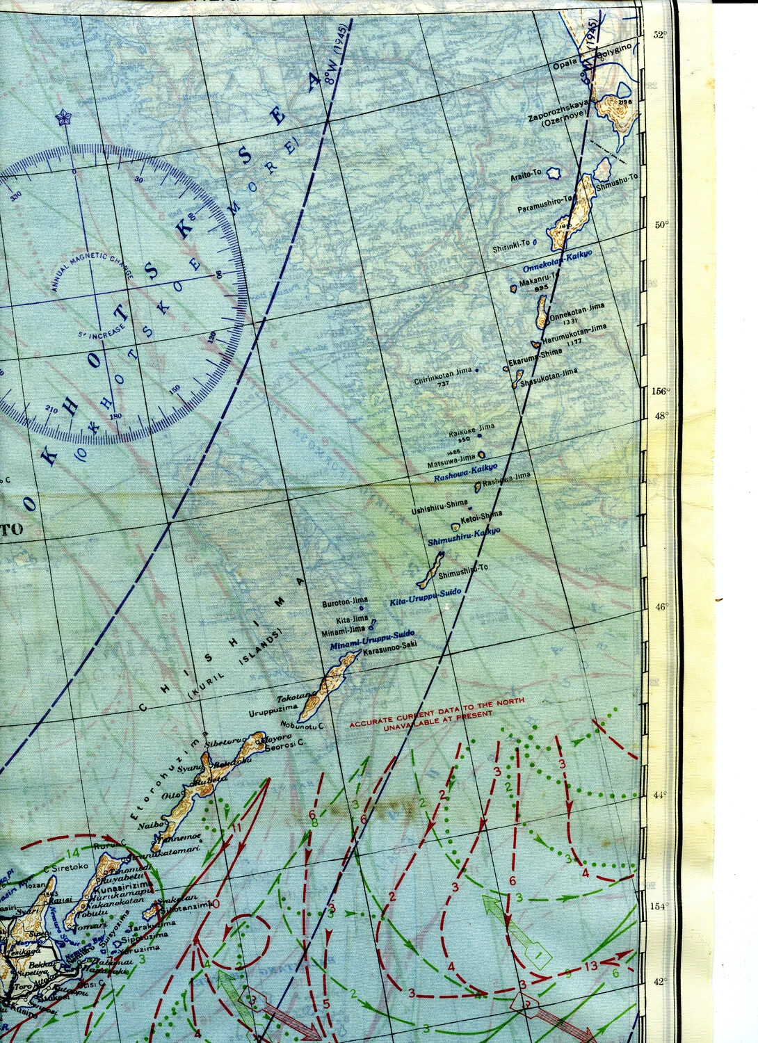
Printed on silk for durability and issued to Allied aircrew as an escape and evasion aid, this map section details the Kuril Islands north of Japan, reflecting the extended reach of Pacific air operations during World War II. Project: 218277