The Snapshots in Time Collection
Gallery: SILK MAPS
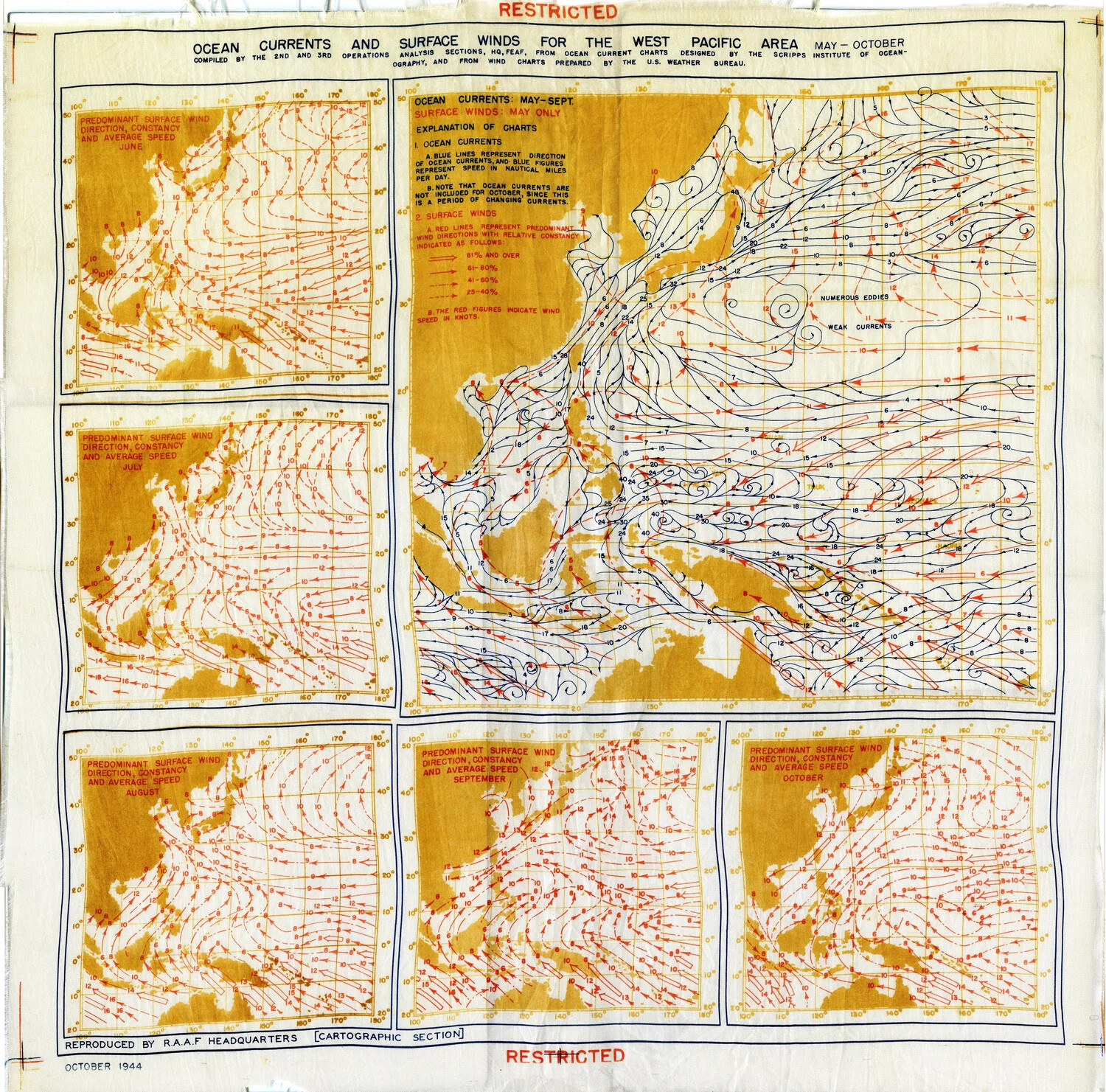
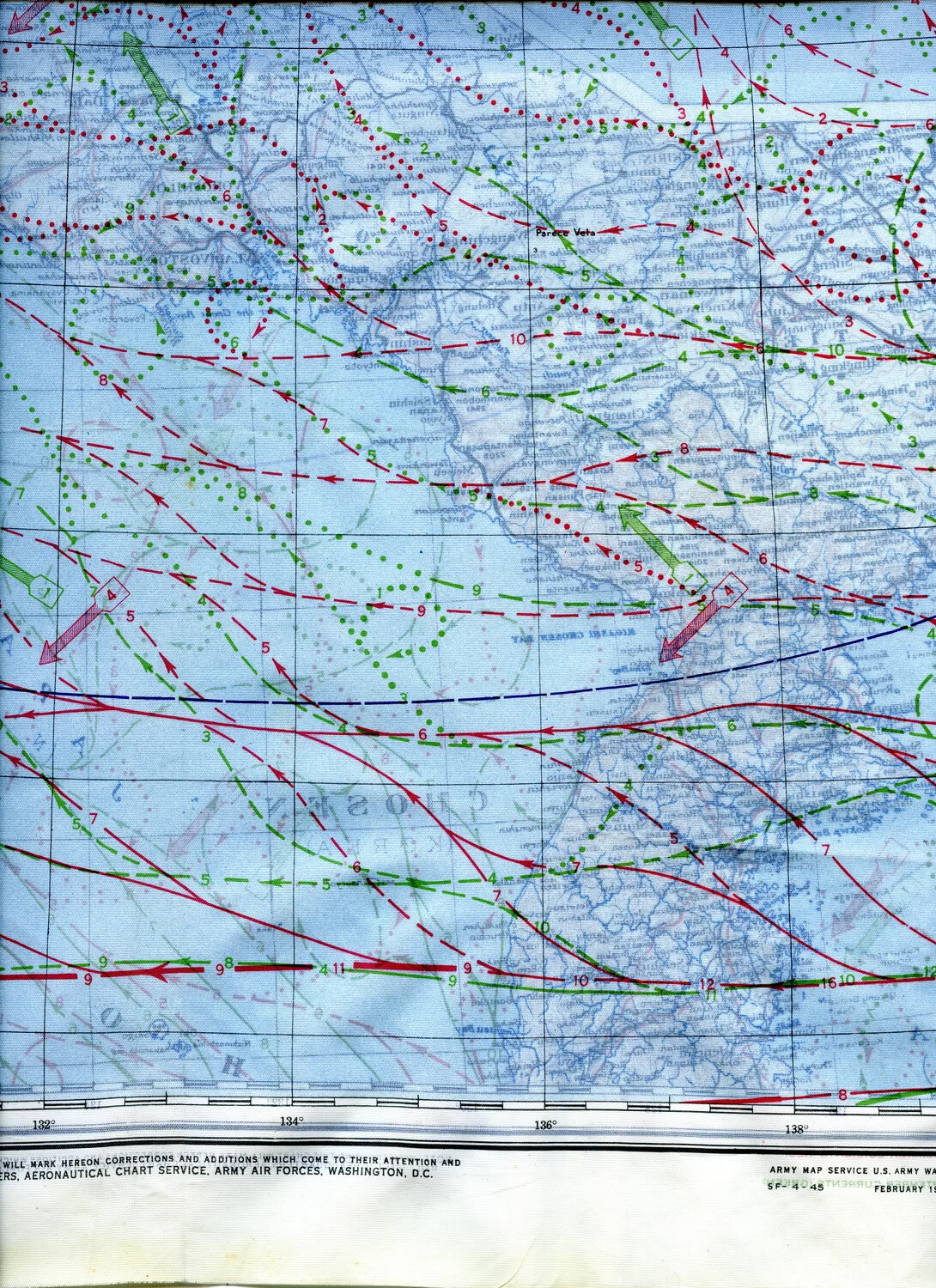
Printed on silk for durability and silence, these Army Air Forces escape-and-evasion charts map the China coast, Formosa, the Ryukyus, Luzon, and southern Japan, overlaid with ocean current, wind, and magnetic variation data. Issued to bomber crews such as the 345th Bombardment Group, they were vital survival gear for downed airmen.
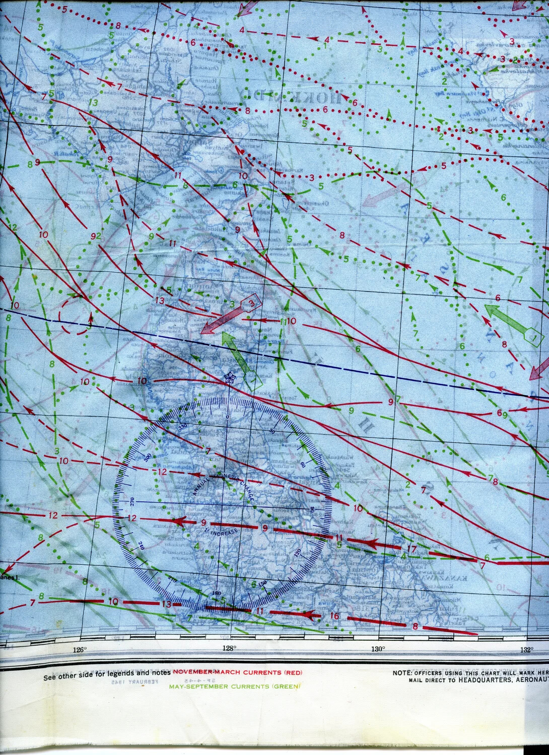
WWII Silk Escape and Evasion Map Fragment - East China Sea / Ryukyu Islands Region, 345th Bombardment Group
WWII Silk Escape Map Detail - Western Pacific Ocean Currents and Winds Chart, February 1945
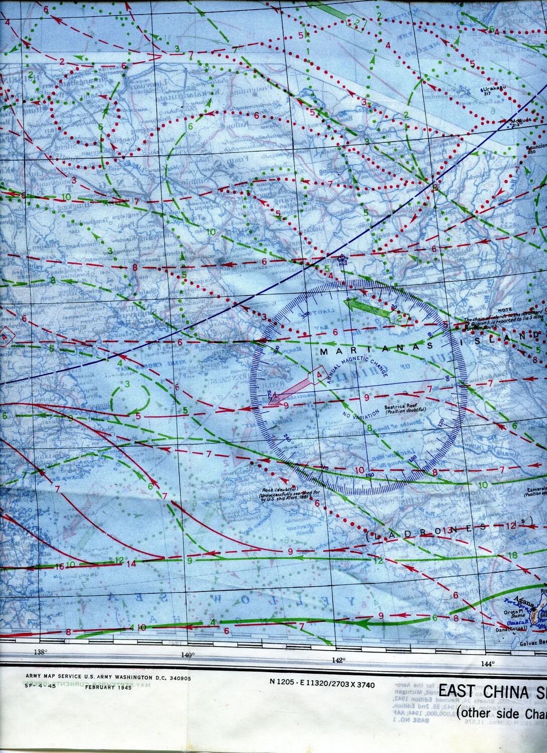
AAF Escape and Evasion Silk Map – East China Sea / Marianas Islands Sector, February 1945
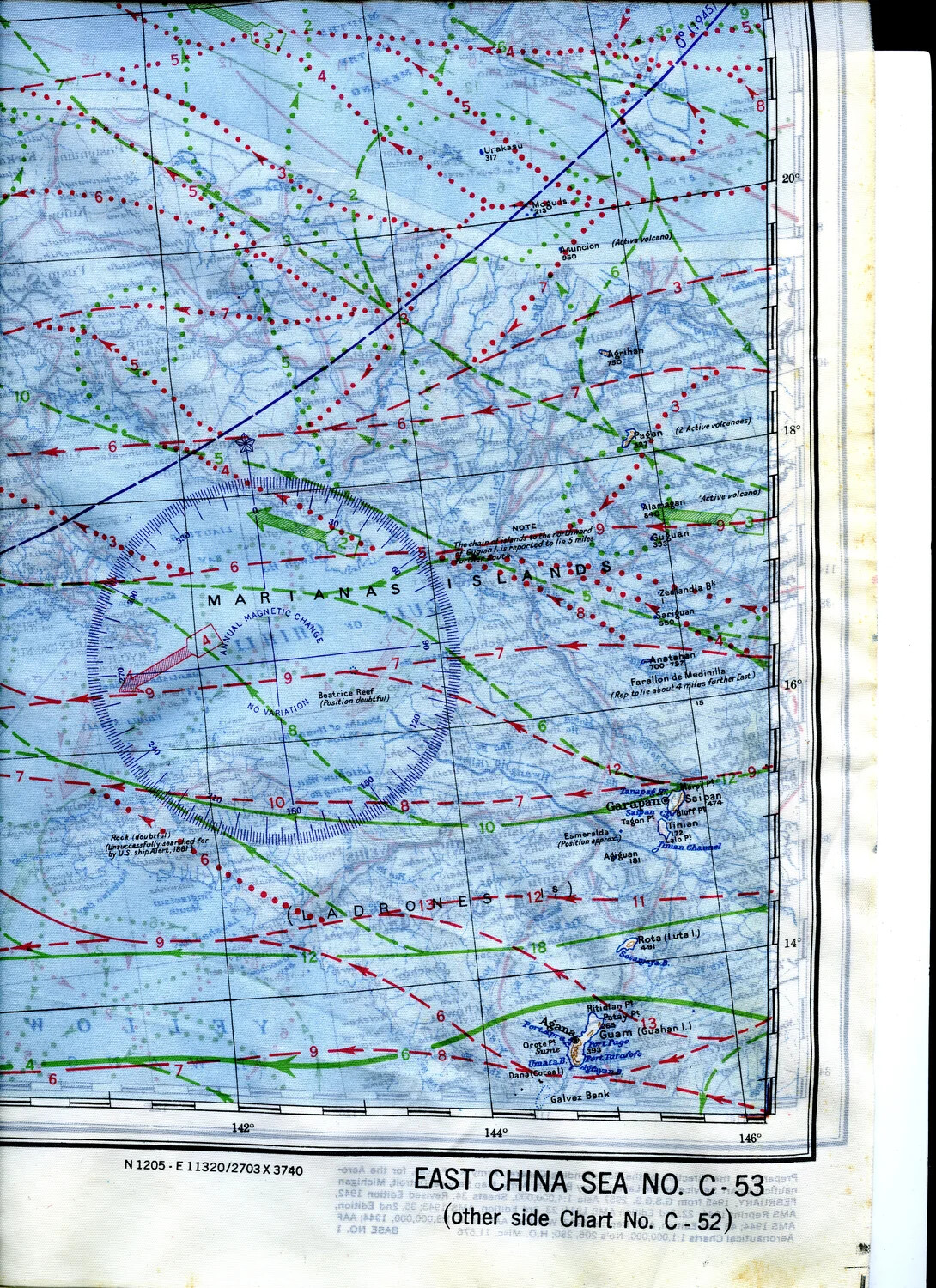
WWII Silk Escape Map, Mariana Islands Section, Chart No. C-53 "East China Sea," 345th Bombardment Group Collection
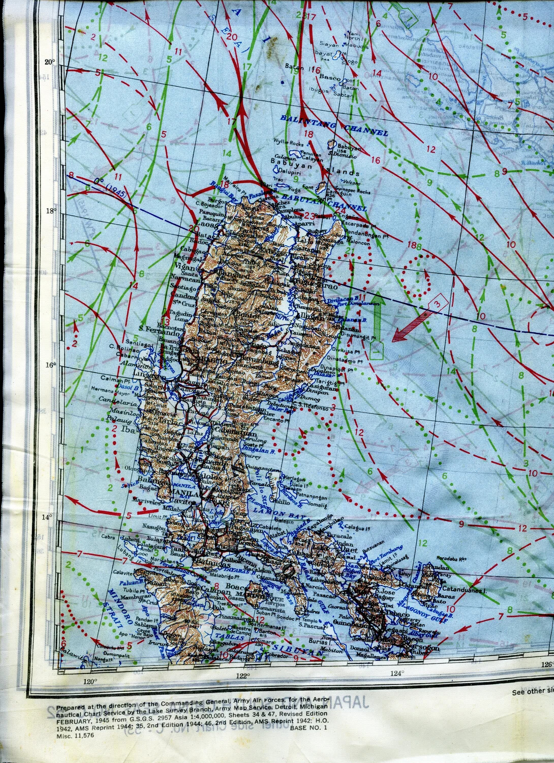
WWII Silk Escape Map - Luzon, Philippines with Ocean Current and Wind Overlay, February 1945
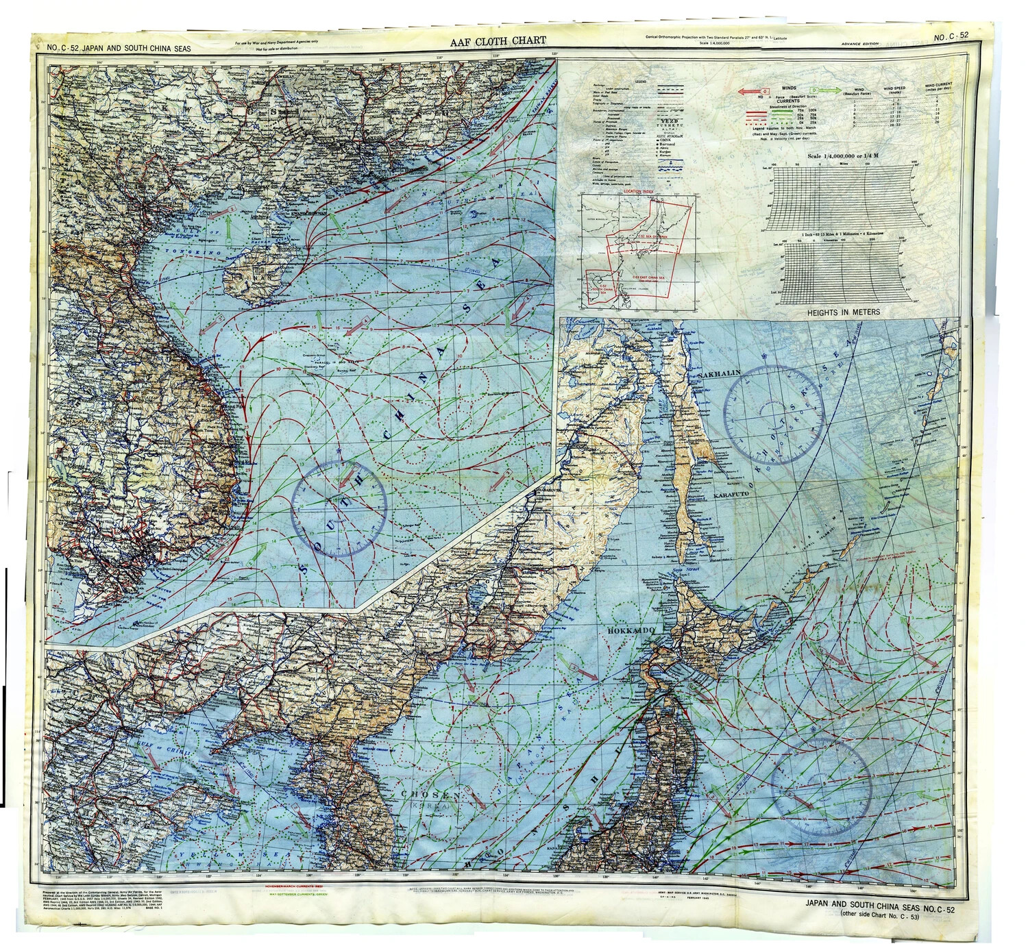
AAF Cloth Chart No. C-52: Japan and South China Seas, Advance Edition, February 1945
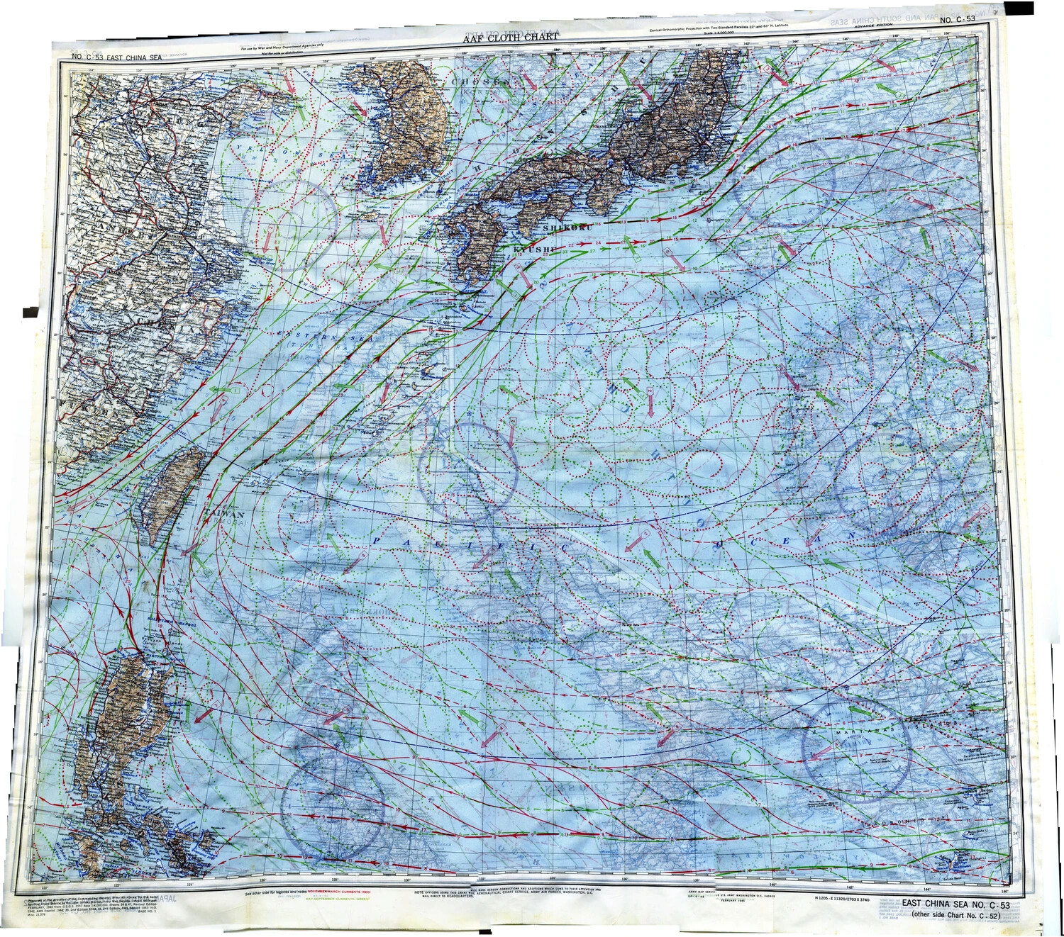
AAF Cloth Escape Chart No. C-53, East China Sea (Side B), 345th Bomber Group Collection
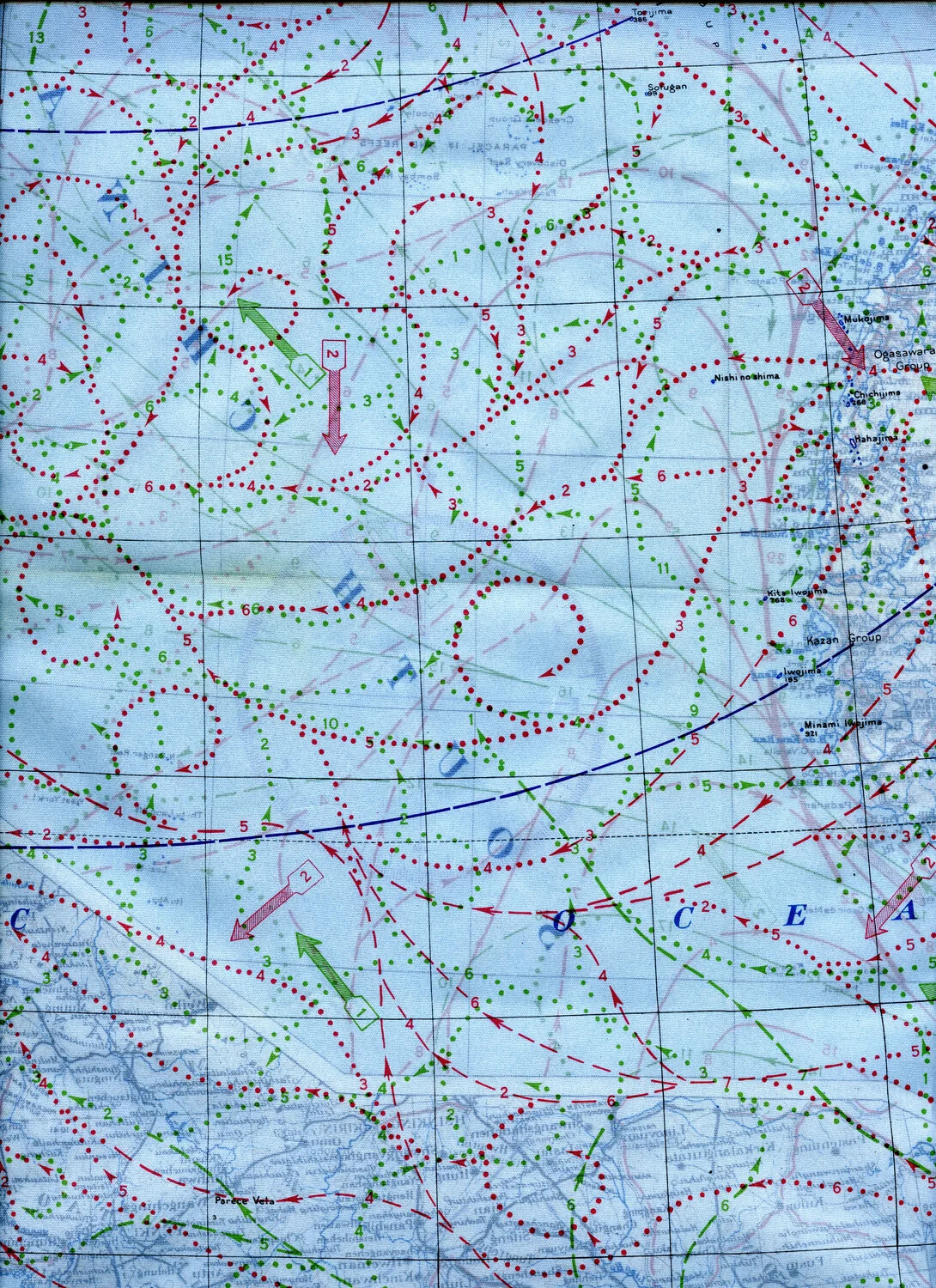
WWII Silk Escape Map Detail - Bonin (Ogasawara) and Volcano (Kazan) Islands Including Iwo Jima, with Current/Wind Overlay
WWII AAF Silk Escape and Evasion Map — Ryukyu Islands Region
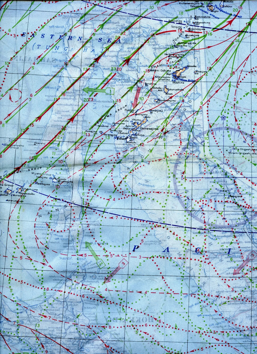
WWII Silk Escape Map Detail - Okinawa and Ryukyu Islands with Ocean Current and Magnetic Variation Data
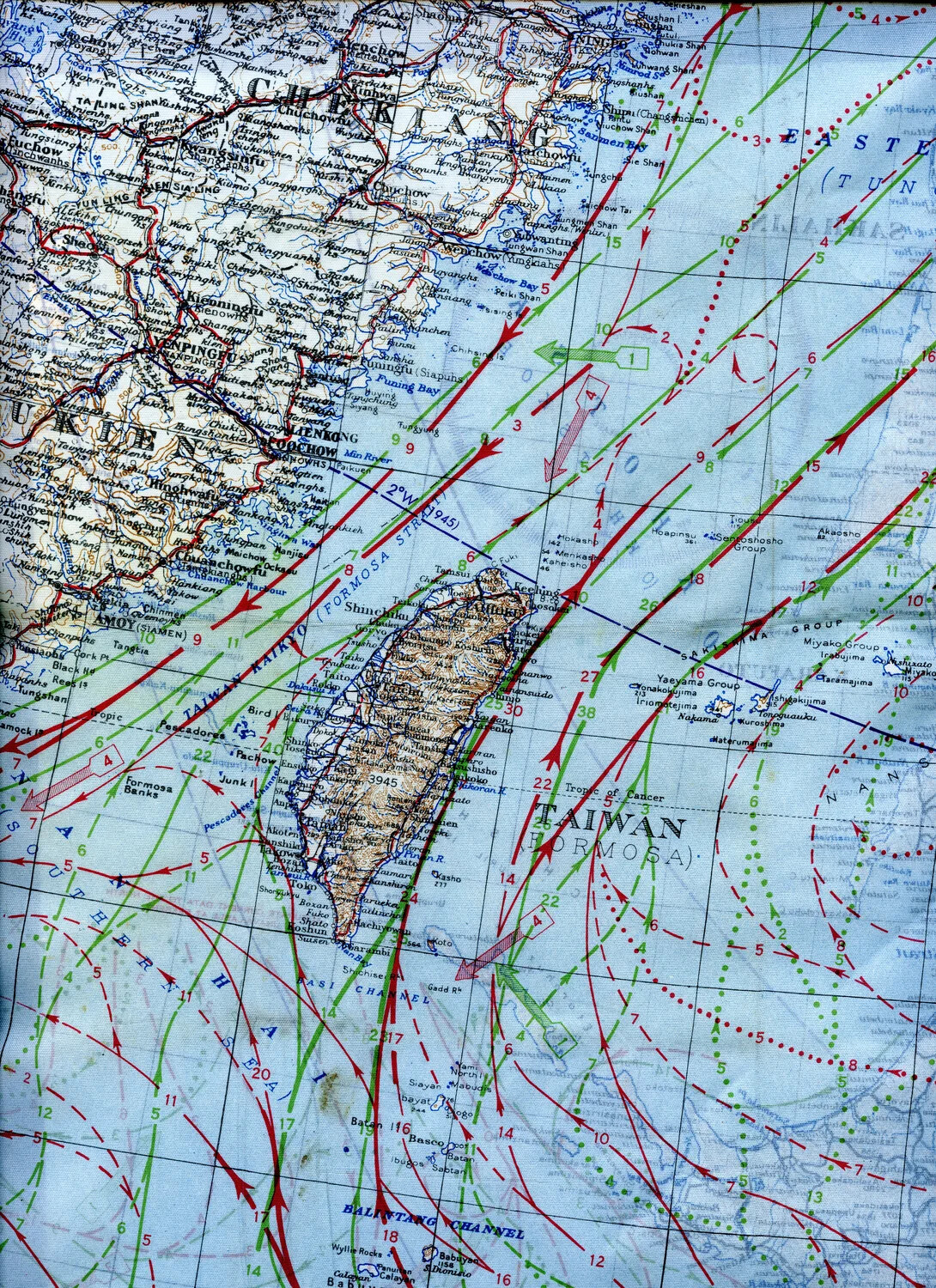
WWII Escape and Evasion Silk Map, China Coast and Formosa (Taiwan) Sector, 345th Bomb Group Collection
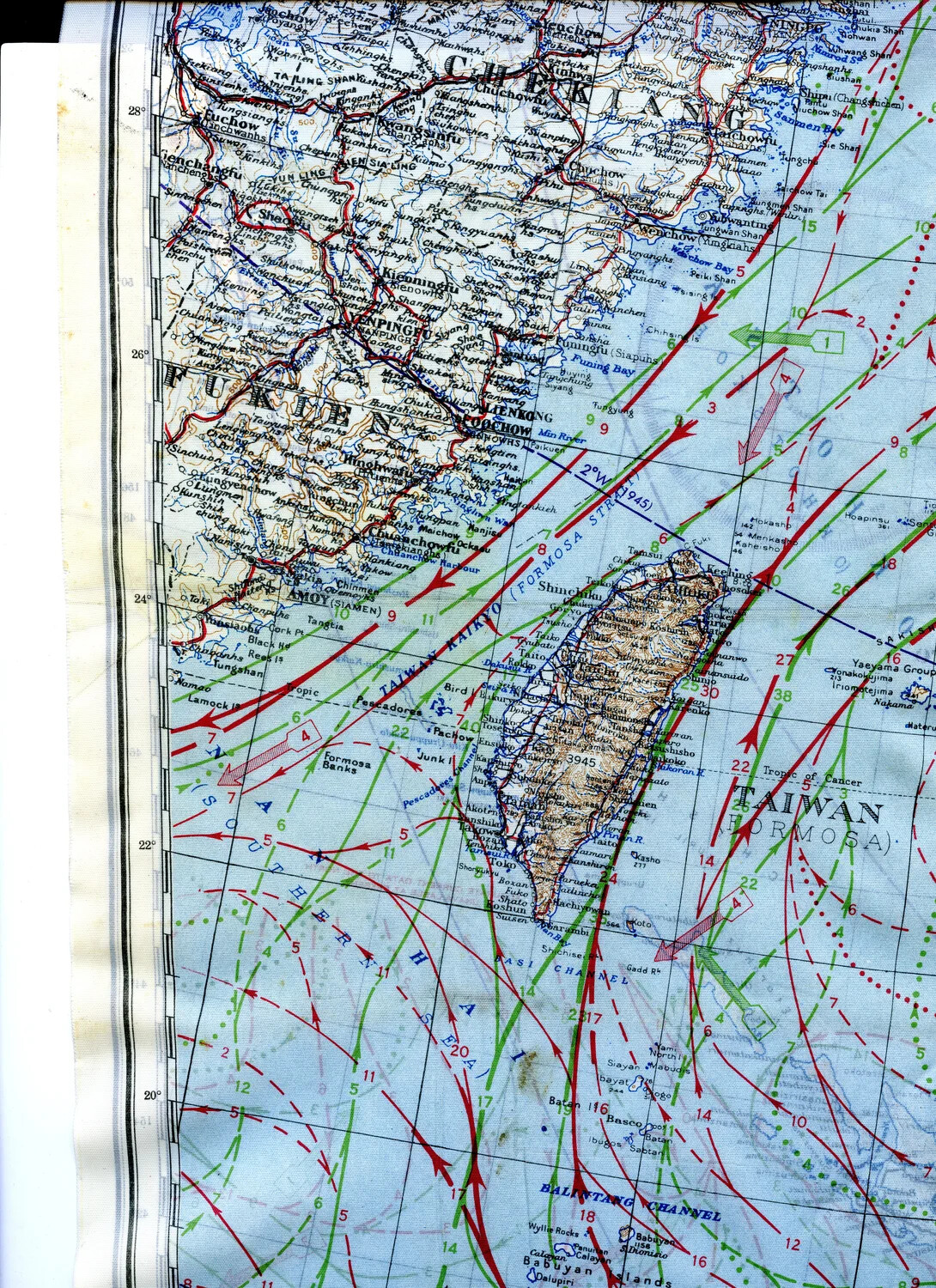
WWII Silk Escape Map Detail - Formosa (Taiwan), Fukien/Chekiang China Coast, and Formosa Strait with Current/Wind Overlay
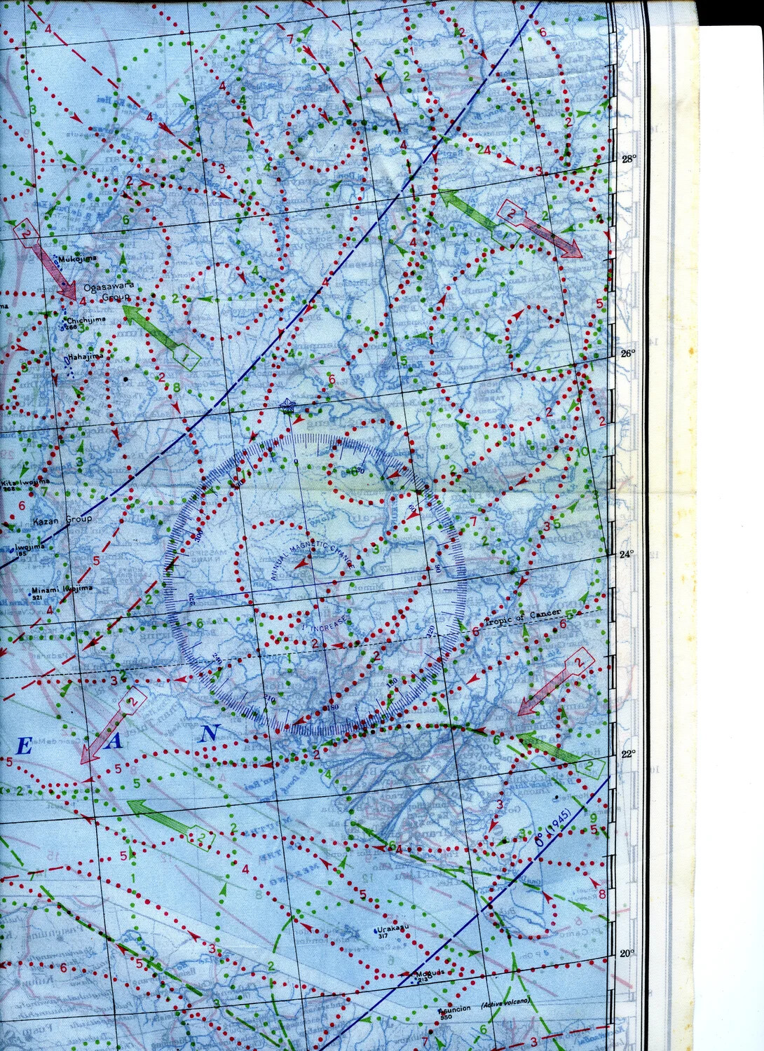
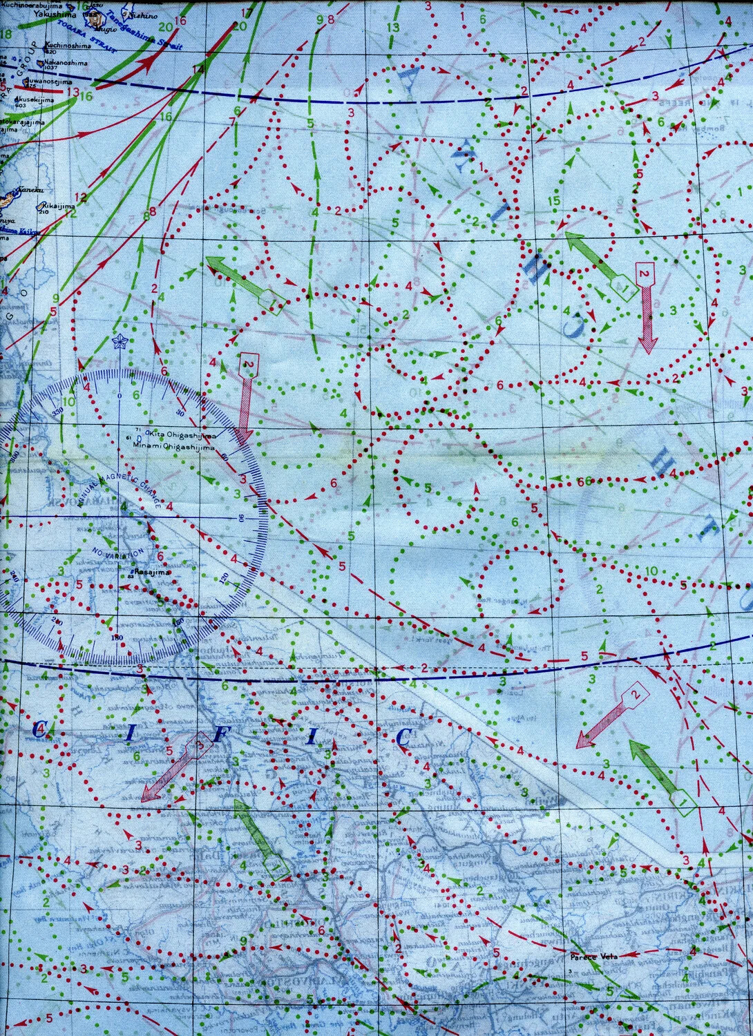
WWII Silk Escape Map Detail - Bonin/Volcano Islands to Northern Mariana Islands with Magnetic Variation Diagram
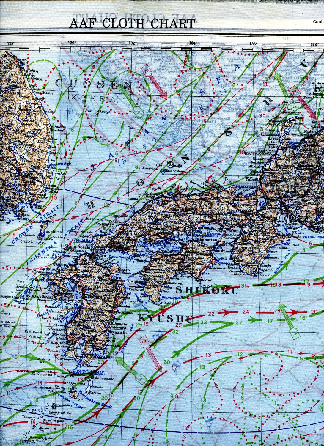
AAF Silk Escape Map - Southern Japan, Korea Strait, and Kyushu/Shikoku Sector
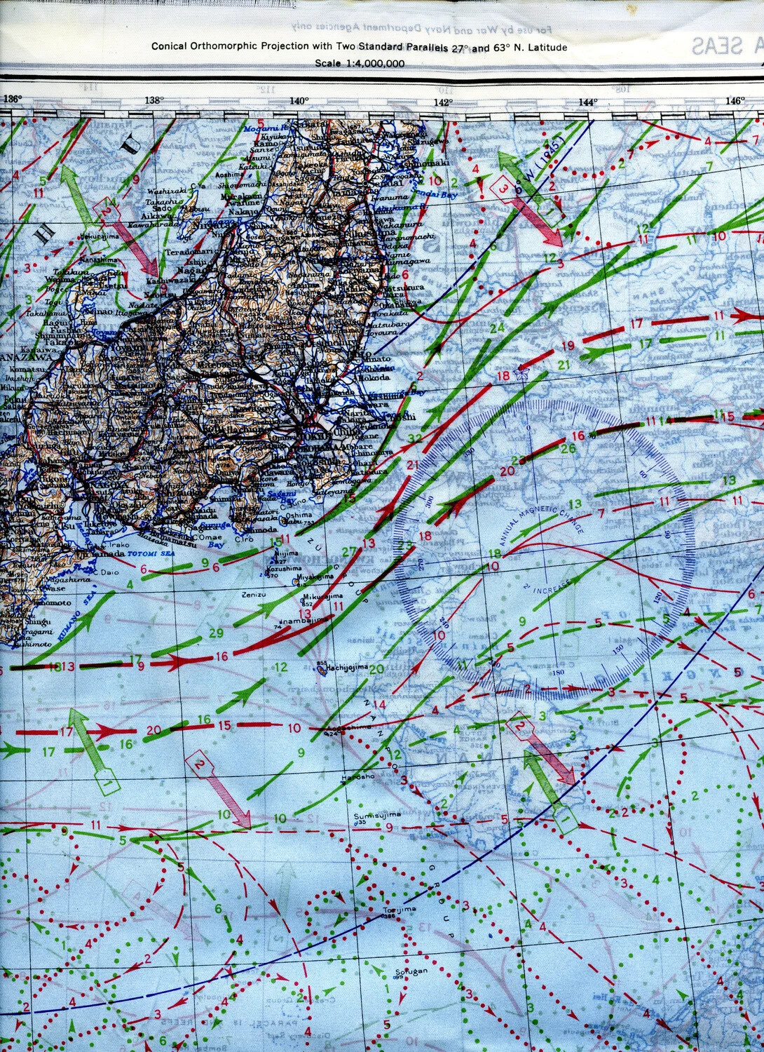
WWII Silk Escape and Evasion Map, Eastern Honshu, Japan — 345th Bomber Group Collection
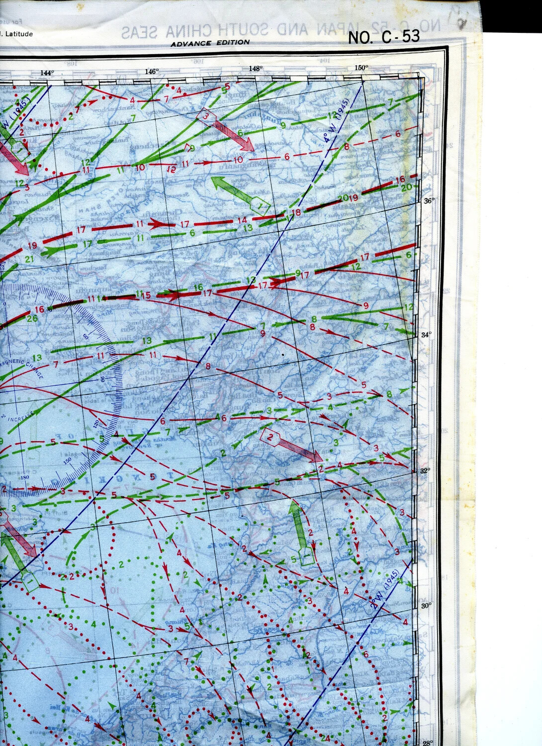
AAF Cloth Chart No. C-53 (Reverse Side) - Open Pacific Ocean East of Japan, Corner Detail
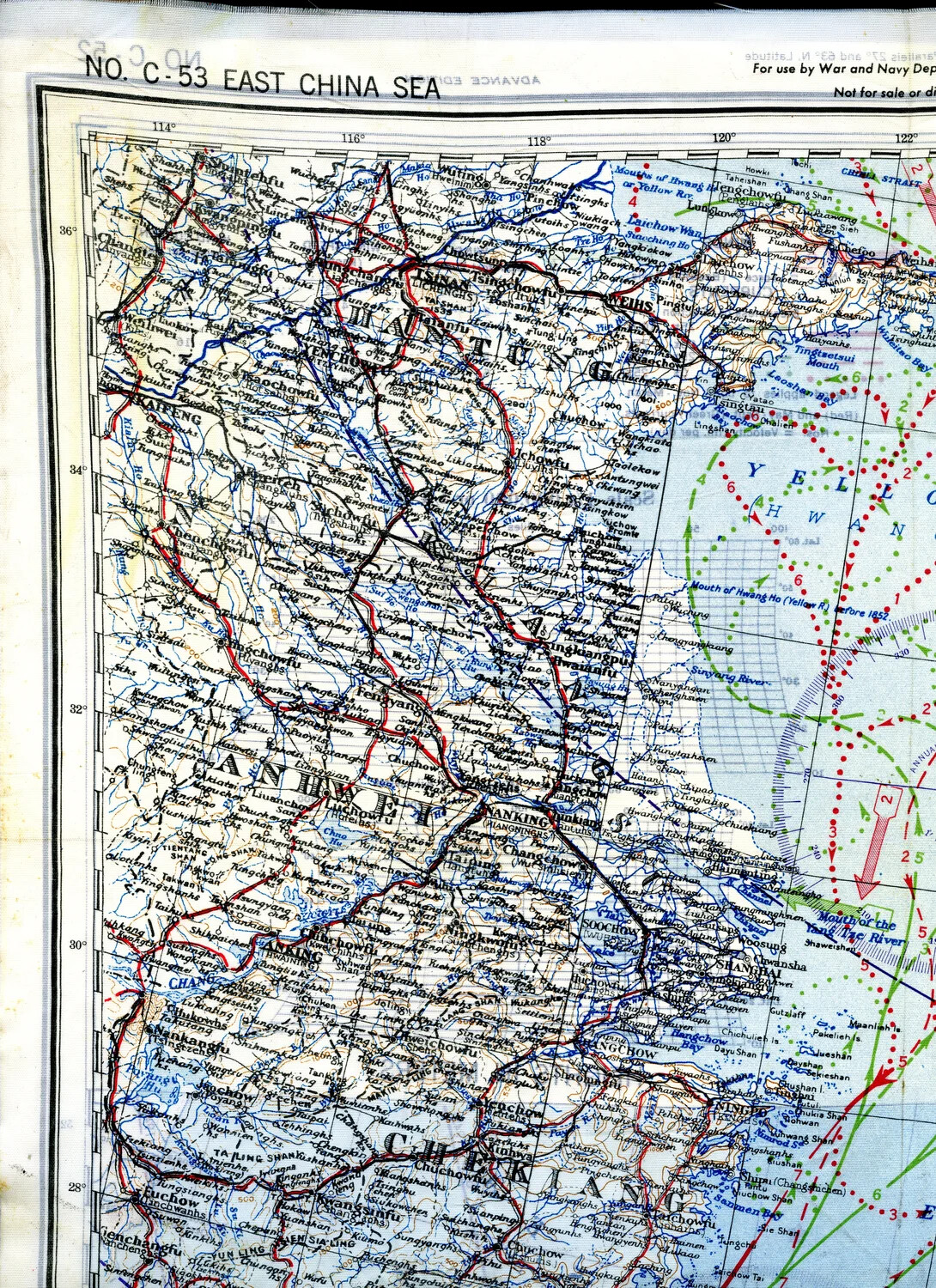
WWII Escape & Evasion Silk Map, East China Sea Coast (Sheet C-53)
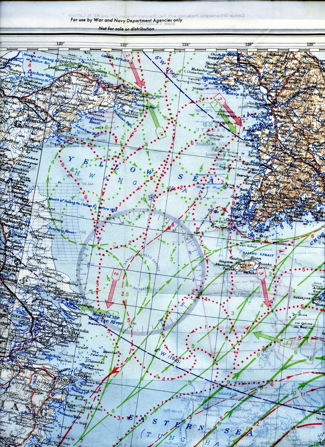
AAF Cloth Chart No. C-52 Detail - Yellow Sea, China Coast, Korea, and Northern Kyushu