The Snapshots in Time Collection
WWII Silk Escape Map - Luzon, Philippines with Ocean Current and Wind Overlay, February 1945
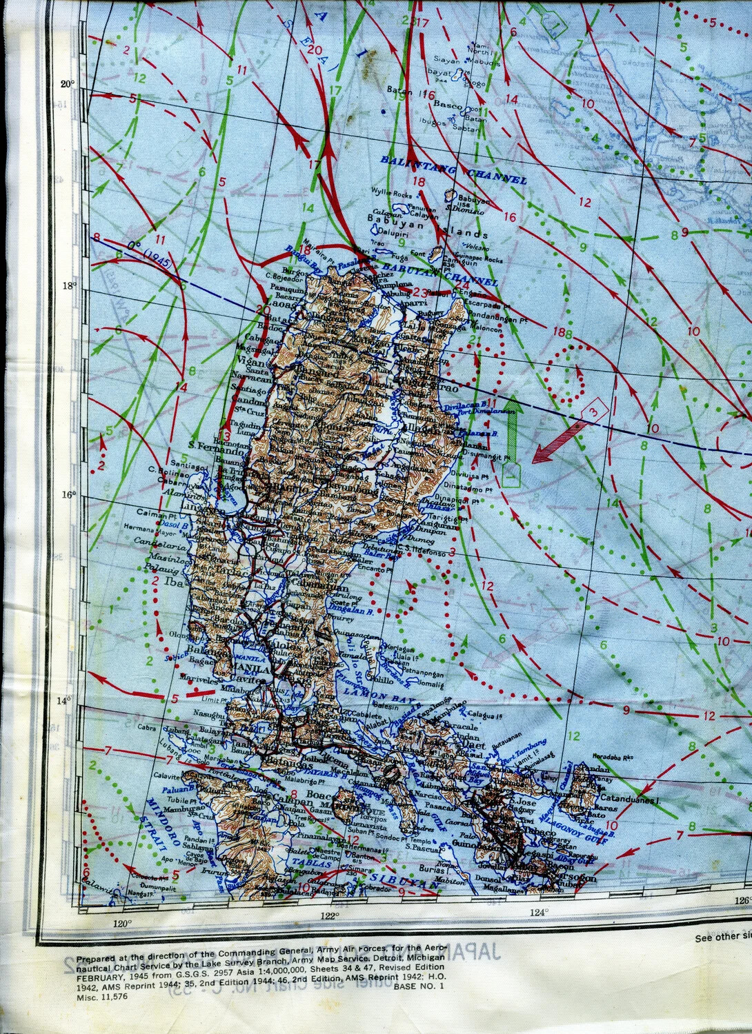
This silk map panel depicts Luzon, Philippines, combined with overlaid ocean current and wind data for downed aircrew navigating toward safety. Printed February 1945 by the Army Map Service for the Army Air Forces' Aeronautical Chart Service, the reverse side (faintly visible here) carried a matching map of Japan - reflecting the sweeping geographic reach of Pacific air operations in the war's final year. Project: 218404