The Snapshots in Time Collection
AAF Silk Escape Map - Southern Japan, Korea Strait, and Kyushu/Shikoku Sector
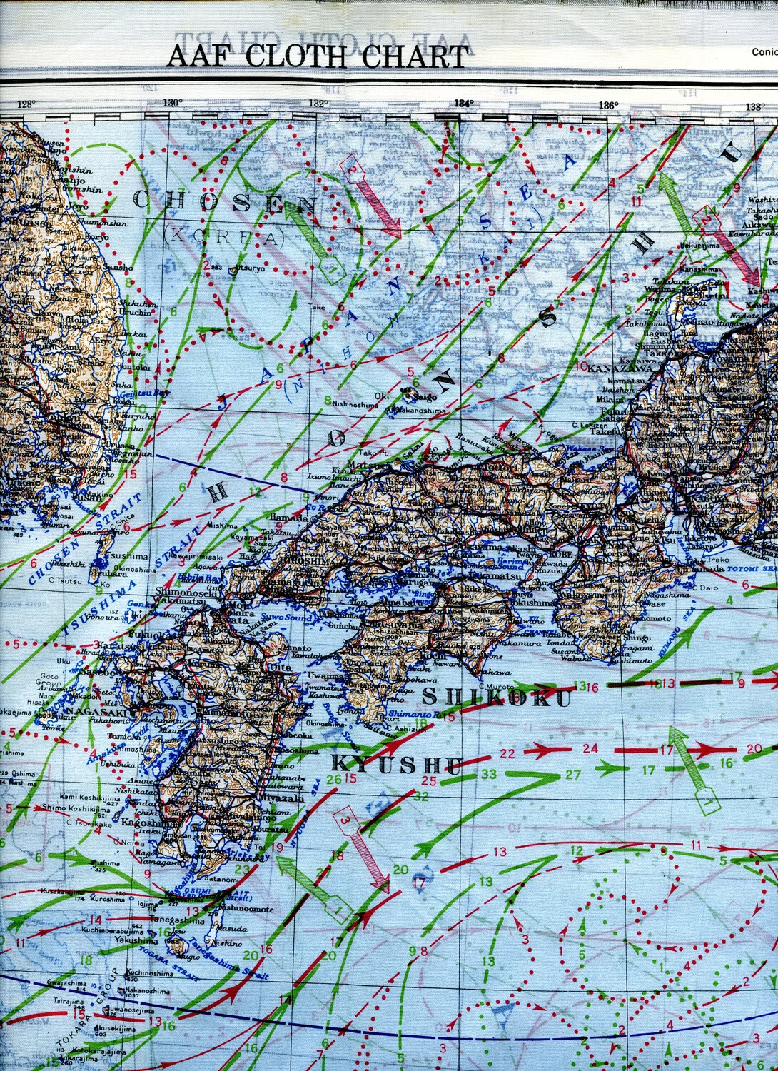
Printed on durable, waterproof silk, this Army Air Forces 'Cloth Chart' covers southern Japan, Korea, and the Kyushu/Shikoku sector of the Pacific Theater. Escape maps like this one were issued to bomber crews so that, if forced down behind enemy lines, they could navigate to safety without the map disintegrating or betraying their position through the crinkle of paper. The overprinted route lines and headings suggest this example was used for mission planning by aircrews of the 345th Bombardment Group, the 'Air Apaches,' who flew B-25 Mitchell strikes from Ie Shima against Japanese shipping and targets across the East China Sea and Korea Strait in 1945. Project: 218404