The Snapshots in Time Collection
RAAF Pilot's Cloth Chart: Ocean Currents and Surface Winds for the West Pacific Area, May-October 1944
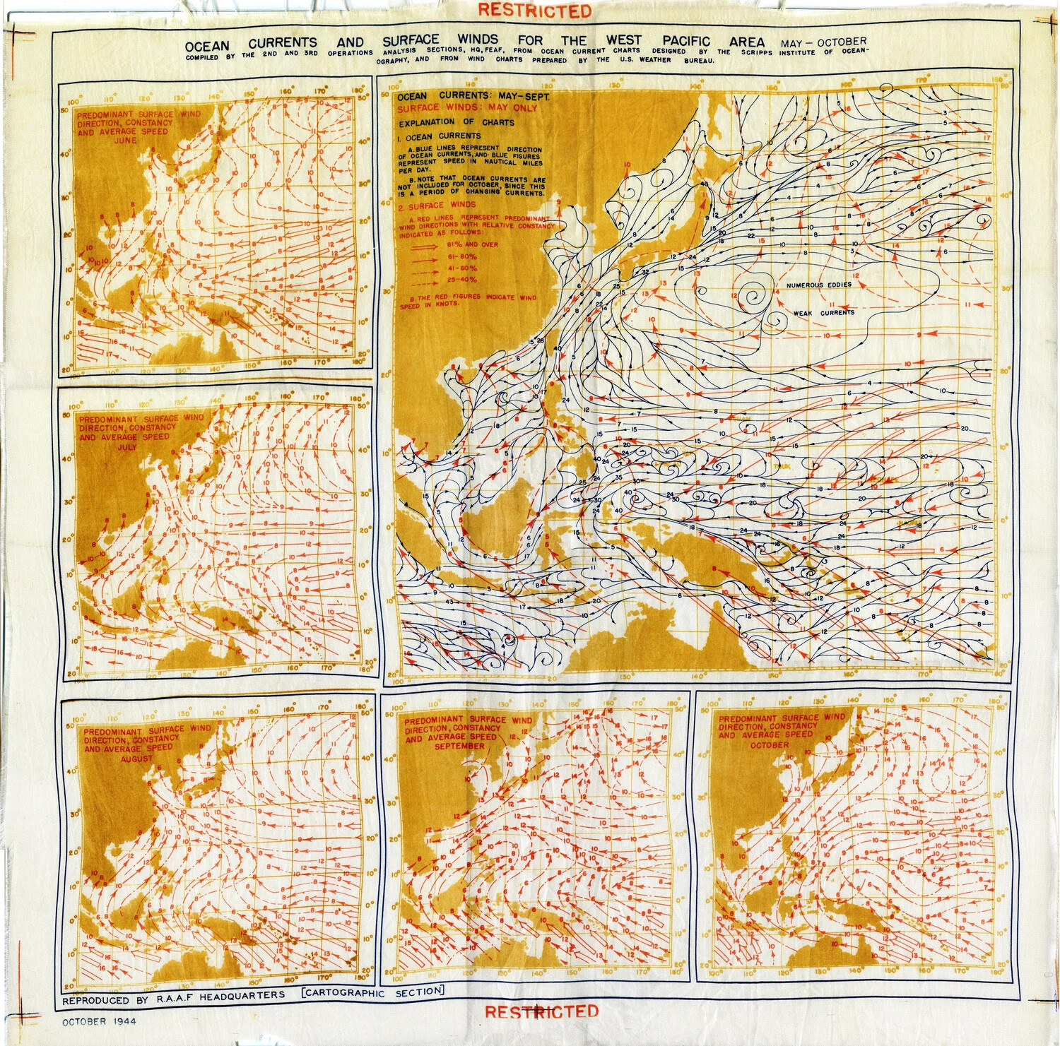
Reproduced by RAAF Headquarters in October 1944, this restricted cloth chart compiled ocean current and monthly surface wind data for the entire West Pacific, drawing on research from the Scripps Institute of Oceanography and the U.S. Weather Bureau. Carried by pilots as survival equipment, it distilled scientific data into a lifesaving field reference for airmen forced down at sea. Project: 218404