The Snapshots in Time Collection
AAF Escape and Evasion Silk Map – East China Sea / Marianas Islands Sector, February 1945
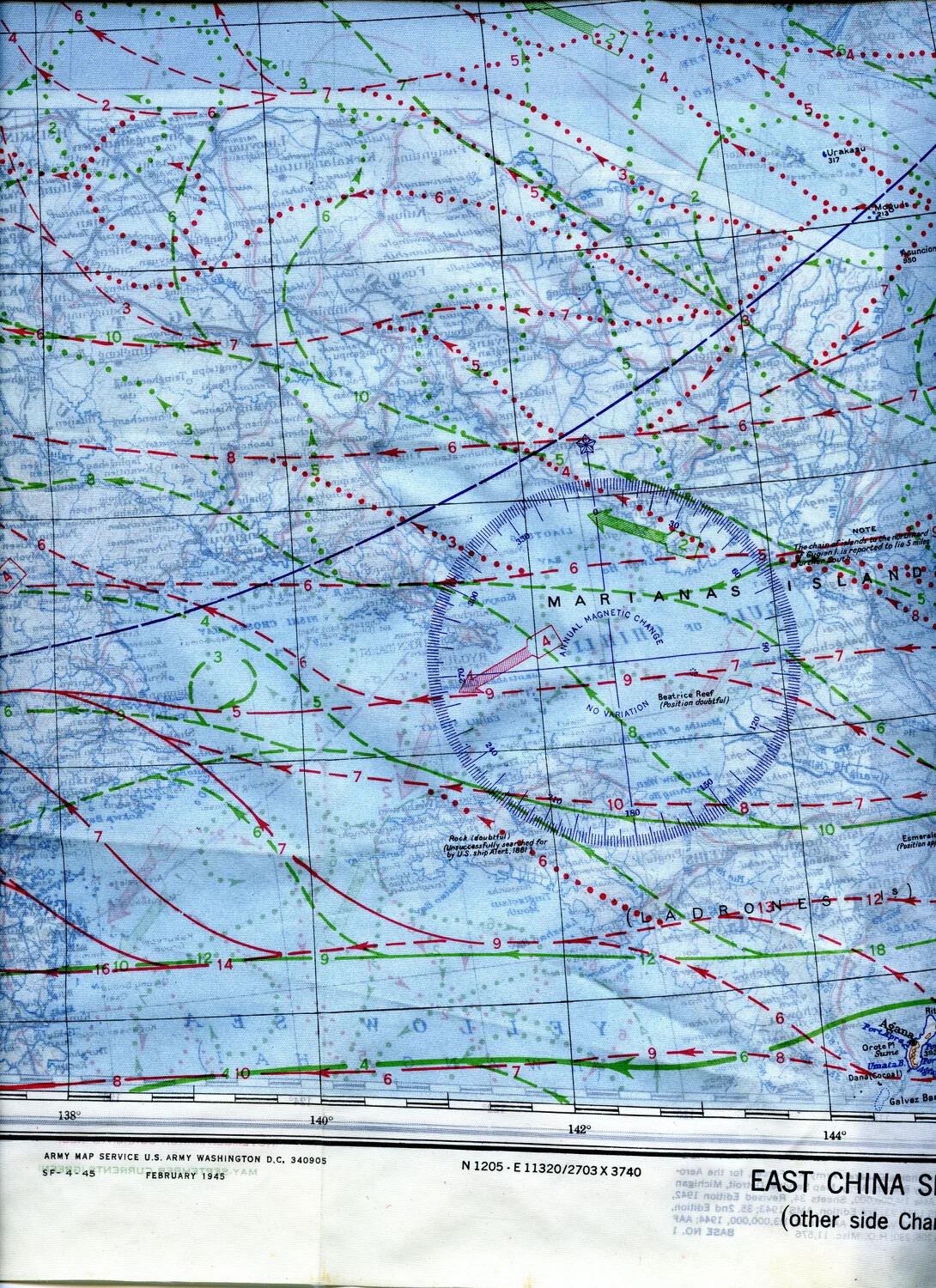
Issued by the Army Map Service in February 1945, this silk escape-and-evasion chart covers the East China Sea and Marianas Islands region. Lightweight, waterproof, and quiet to unfold, silk maps like this one were carried by Army Air Forces bomber crews — likely including airmen of the 345th Bombardment Group flying from Ie Shima — to aid navigation and, if shot down, survival and evasion behind enemy lines. Project: 218404