The Snapshots in Time Collection
WWII Silk Escape Map Detail - Western Pacific Ocean Currents and Winds Chart, February 1945
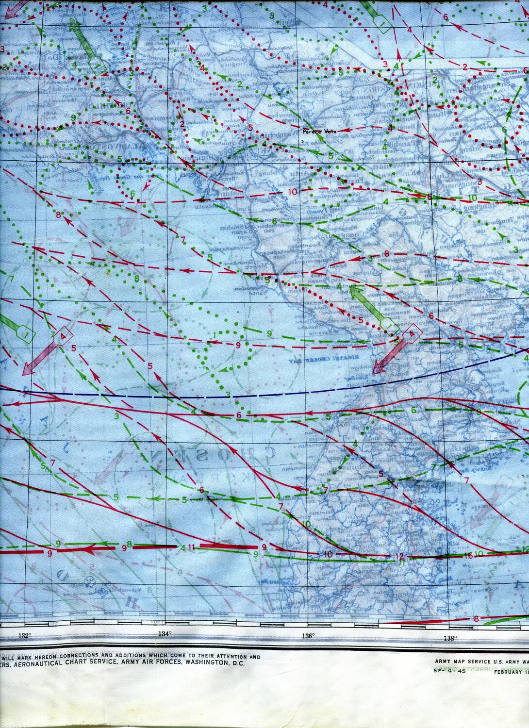
A section of a WWII silk escape map covering the Western Pacific near Japan, printed February 1945 by the U.S. Army Map Service. Overlaid current and wind data, shown in red and green, helped downed airmen navigate life rafts toward safety. Printed on silk for durability and portability, maps like this were standard survival gear for Pacific aircrew. Project: 218404