The Snapshots in Time Collection
Aerial Photograph of Cultivated Valley Floor and River, New Guinea Highlands
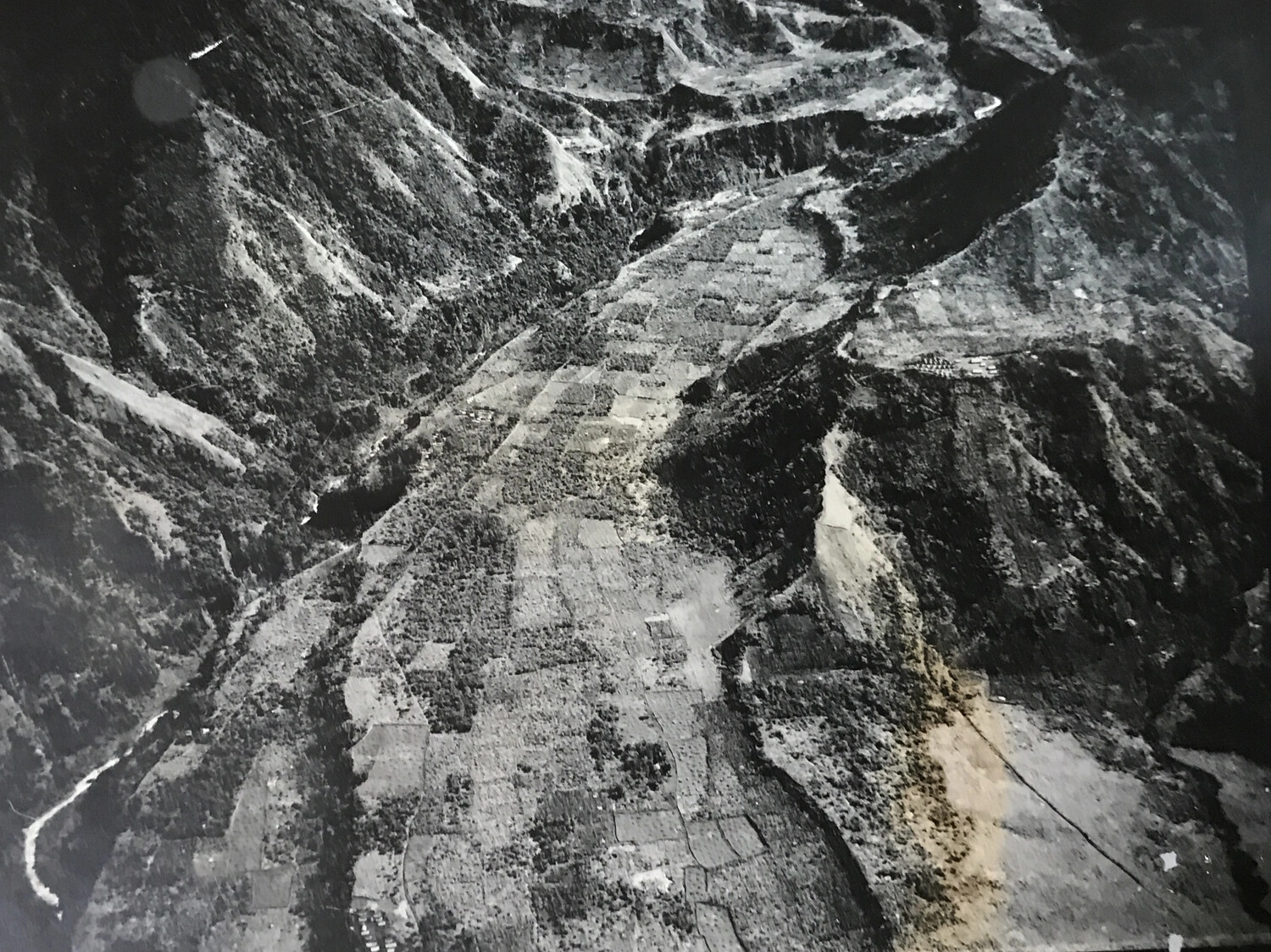
This aerial photograph shows a cultivated valley floor in New Guinea's interior highlands, its checkerboard pattern of native garden plots bordered by forested mountains and a meandering river. Aerial surveys of such valleys supported Allied terrain and settlement mapping during the New Guinea campaign of 1943-1944. Project: 218557