The Snapshots in Time Collection
WWII-Era Aerial Reconnaissance Photograph of Mountainous River Valley Terrain, Frame 16
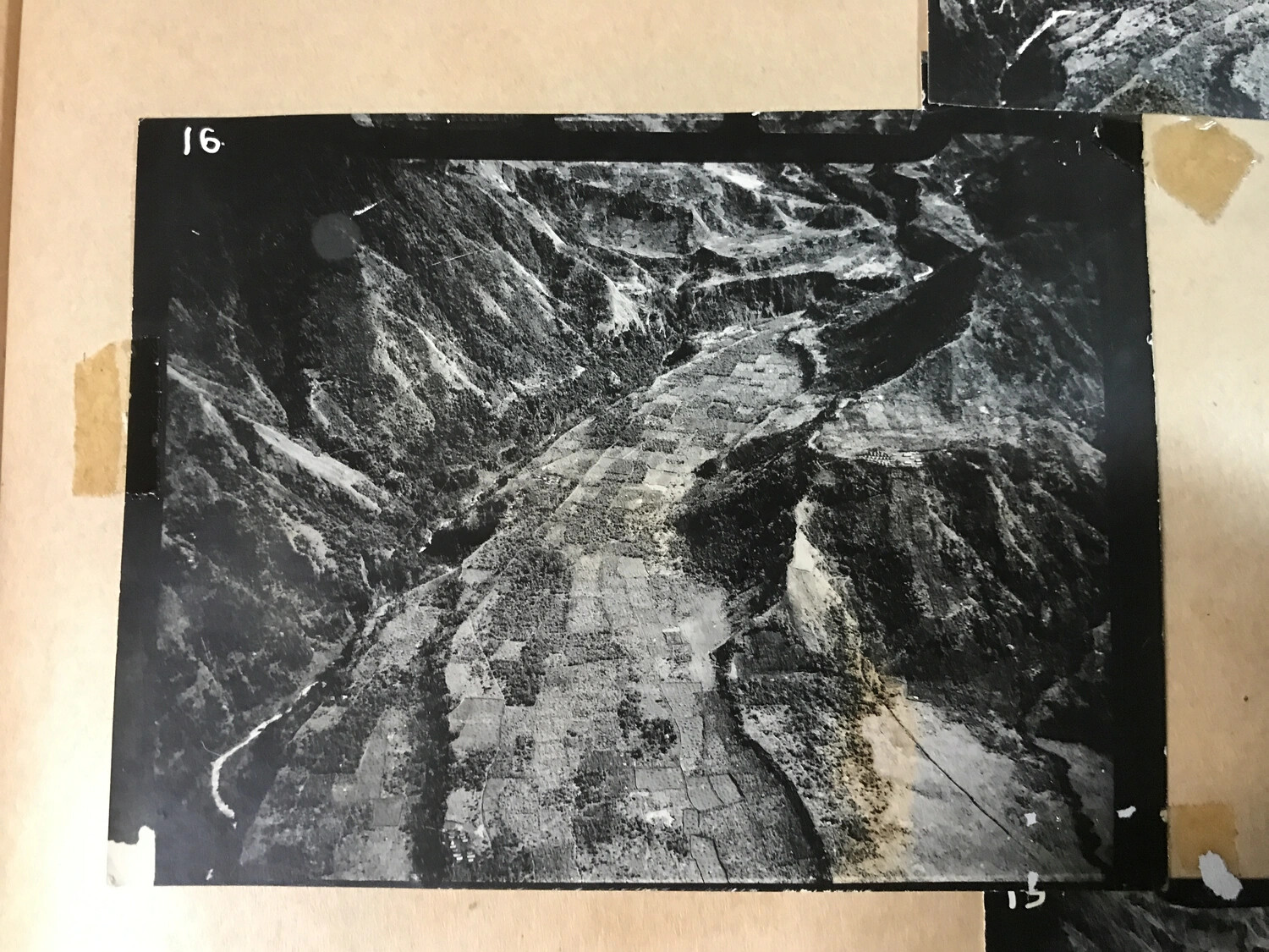
This aerial photograph, numbered "16" in the archival series, depicts mountainous terrain cut by a river valley with a patchwork of small agricultural fields along the valley floor. Mounted and numbered in the manner typical of WWII reconnaissance or mission photo albums, it is associated with material from the 312th Bomb Group collection. While the exact location and purpose of this specific frame cannot be confirmed, such aerial photographs were routinely used by air units in the Pacific Theater for navigation, target identification, and post-mission assessment. Project: 218557