The Don Englebreston Collection
Annotated Topographic Map of Chevane Airfield Area, Laos - Operation Tailwind Planning Reference
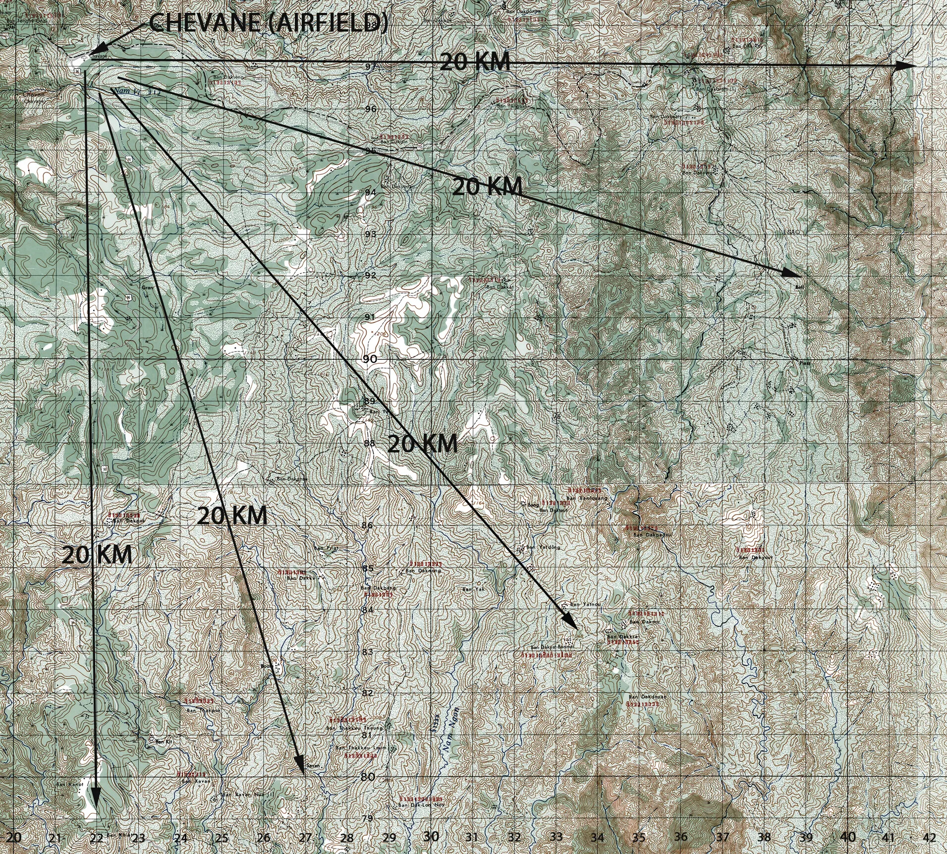
This annotated topographic map of the Chevane airfield area in southeastern Laos was used in connection with Operation Tailwind, a classified September 1970 MACV-SOG mission into Laos. The hand-drawn distance arrows helped planners and analysts orient reconnaissance teams operating deep behind enemy lines along the Ho Chi Minh Trail. Project: 219494