The Snapshots in Time Collection
Iwo Jima Invasion Grid Map with Japanese Defense Positions and Landing Beaches, USS Petrof Bay Collection
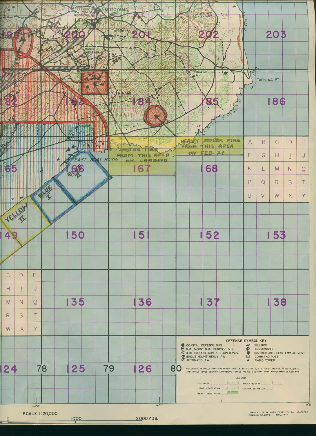
This U.S. military intelligence map of Iwo Jima, prepared in November 1944 from October reconnaissance photography, marks Japanese defensive positions and the invasion's Yellow and Blue landing beaches. Annotations noting mortar fire on February 21, 1945, tie the document directly to the height of the battle. It comes from the collection of USS Petrof Bay (CVE-80), an escort carrier that supported the Iwo Jima landings with close air support. Project: 218457