The Snapshots in Time Collection
Wartime Grid-Reference Liberty Map of Colon, Panama Canal Zone
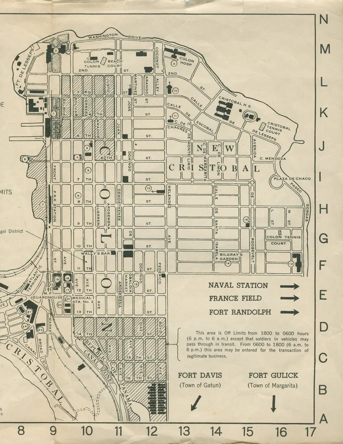
This printed grid-reference map of Colon, Panama, guided sailors and soldiers navigating the Atlantic-side port city of the Panama Canal Zone during World War II. Complete with a curfew notice and directions to nearby military installations such as France Field, Fort Randolph, and Fort Gulick, it exemplifies the everyday logistical materials issued to crews of Pacific-bound vessels like the escort carrier USS Petrof Bay (CVE-80) as they transited the canal. Project: 218452