The Snapshots in Time Collection
Colon-Cristobal Guide Map, Panama Canal Department, August 1945
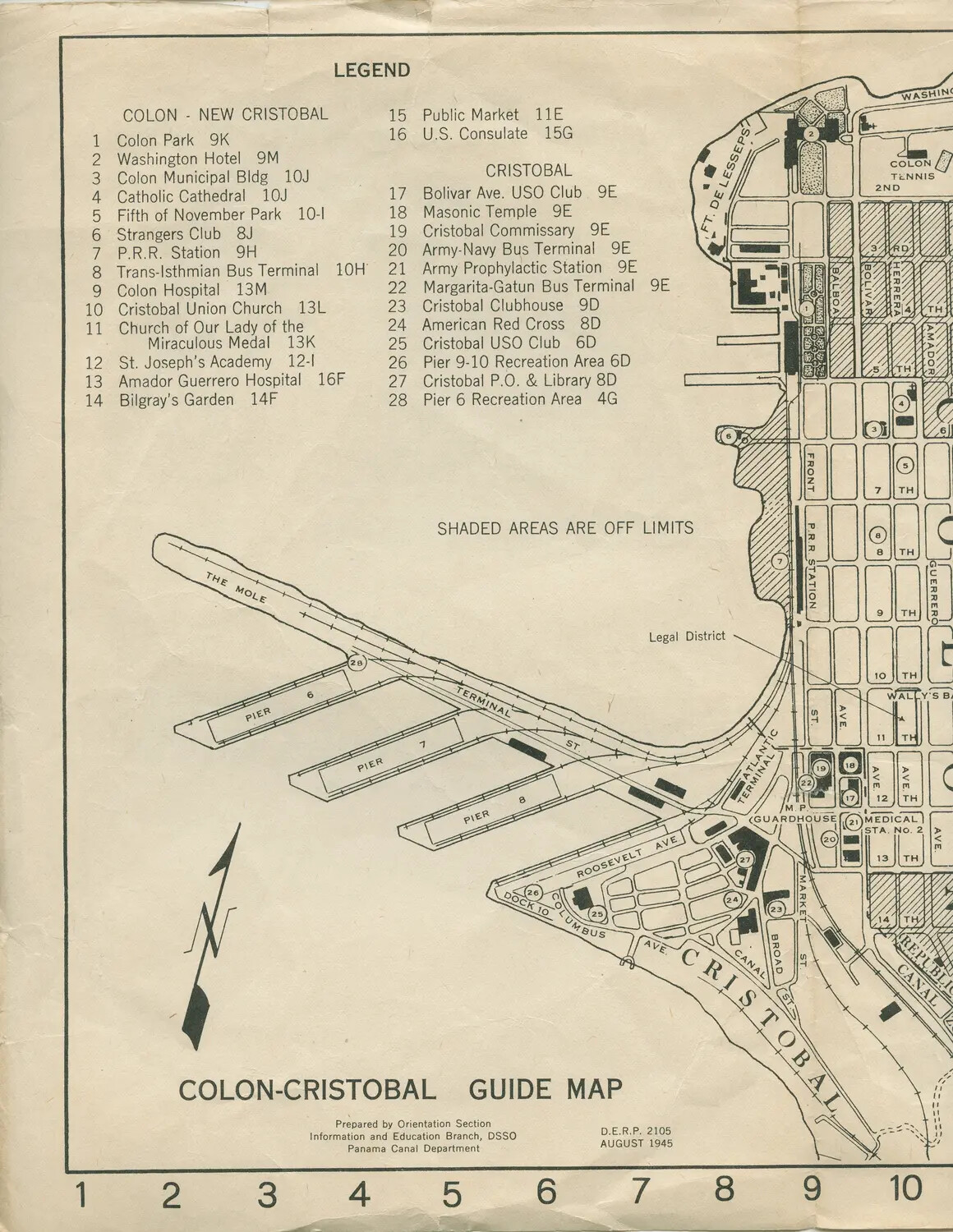
A 1945 orientation guide map of Colon and Cristobal, the twin port cities at the Atlantic entrance to the Panama Canal, prepared by the Panama Canal Department's Information and Education Branch. Maps like this were distributed to U.S. servicemen transiting the canal, marking recreational, religious, and logistical points of interest, as well as areas designated off-limits. This example is preserved within the collection documenting the USS Petrof Bay (CVE-80), an escort carrier that operated in the Pacific during World War II. Project: 218452