The Don Englebreston Collection
Aerial Reconnaissance View of Rural Terrain with Roads and Cratering, Vietnam
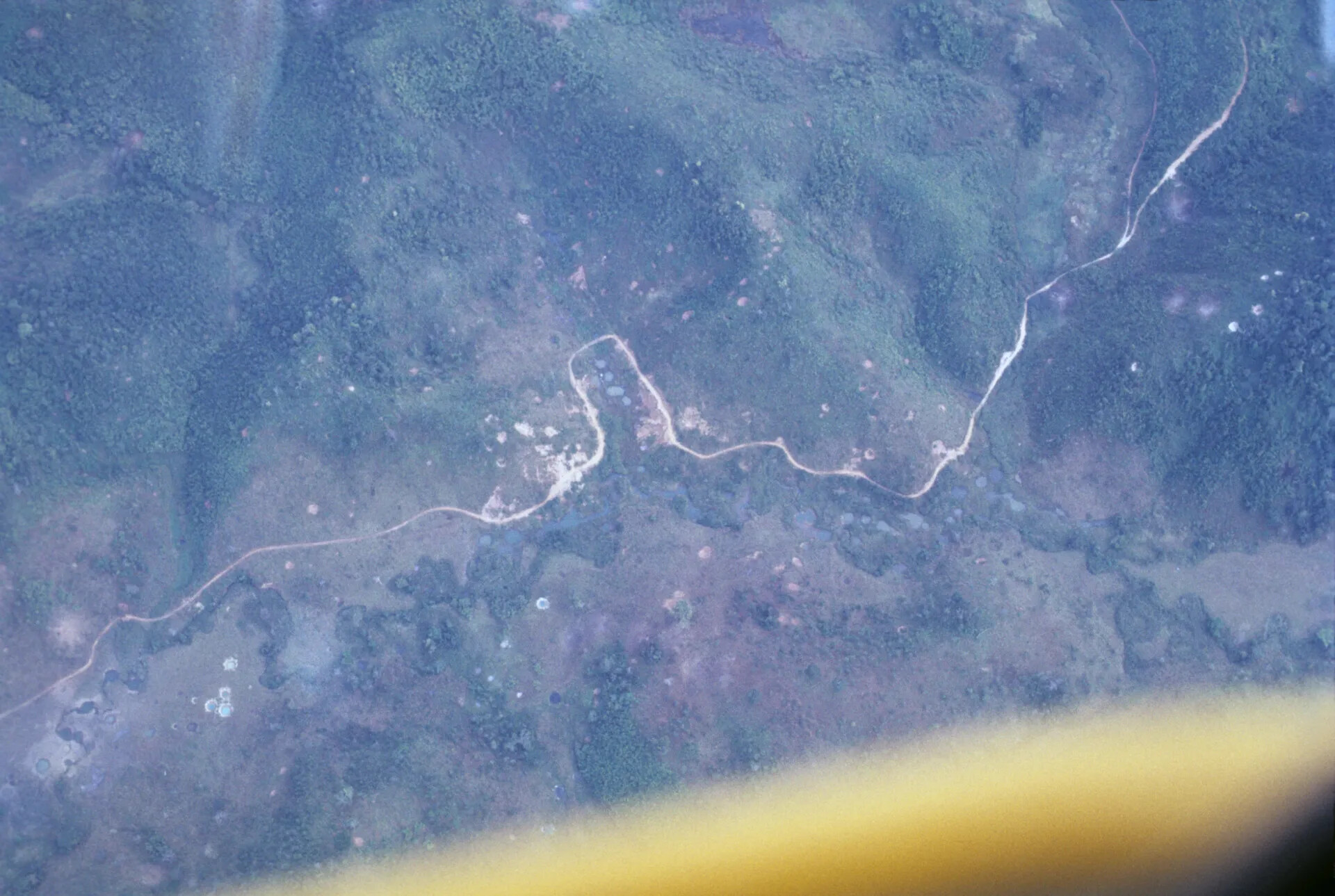
An aerial reconnaissance photograph capturing a network of dirt roads and cratered terrain in rural Vietnam, likely taken from a low-flying observation aircraft during the Vietnam War. Such images were used by aircrews to document enemy trail networks, troop movements, and the aftermath of bombing operations across the countryside. Project: 219603