The Snapshots in Time Collection
Aerial View of Forest Clearing with Access Road and Ground Structure
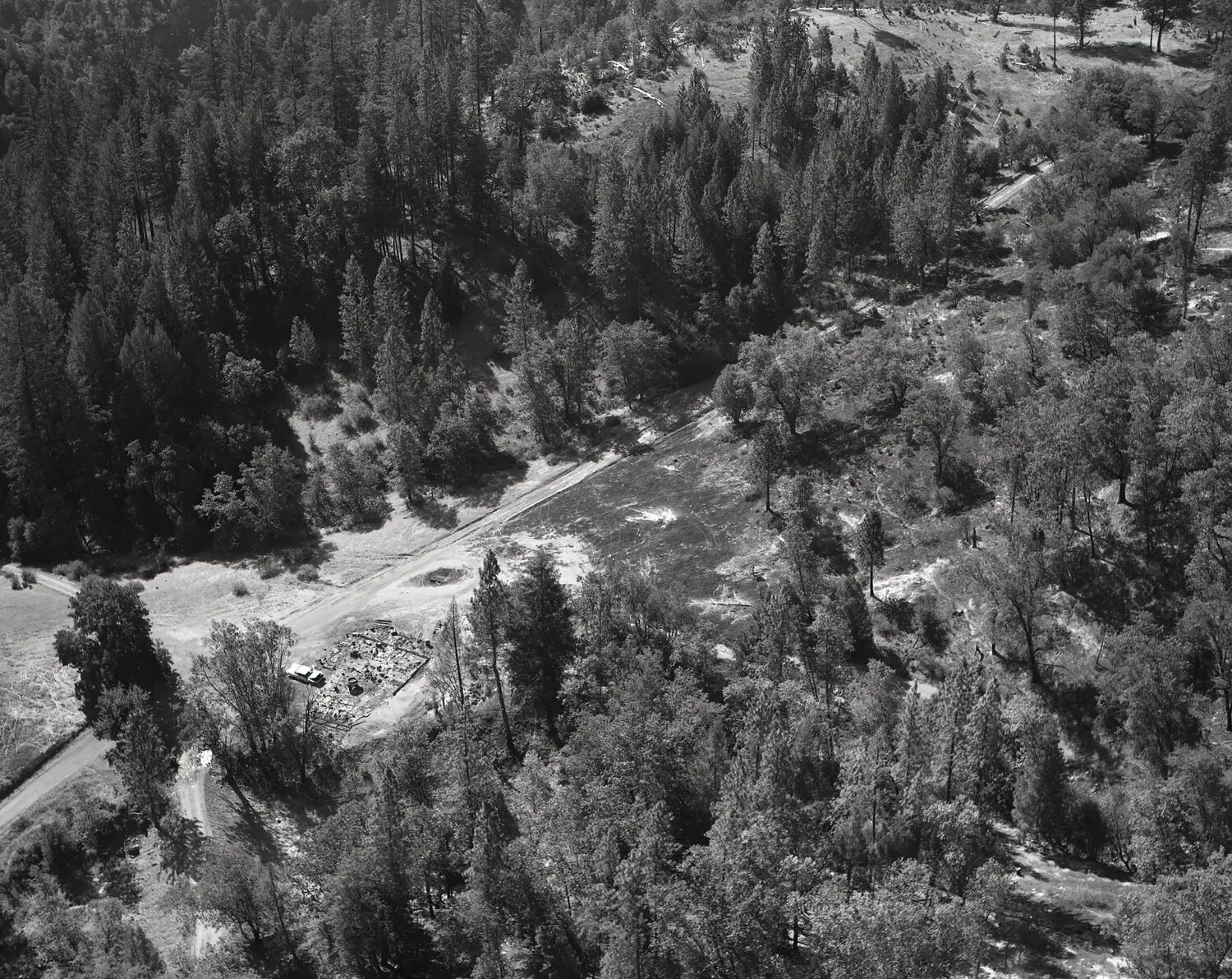
This aerial photograph captures a forested landscape marked by a cleared access road and a small ground structure, likely documented in connection with National Guard field operations. Aerial reconnaissance of this kind was often used to assess remote sites, monitor training areas, or survey terrain during emergency response efforts such as wildfire suppression. Project: 218662