The Snapshots in Time Collection
Low-Altitude Aerial View of Brandy Plantation Terrain, Wewak Area, New Guinea
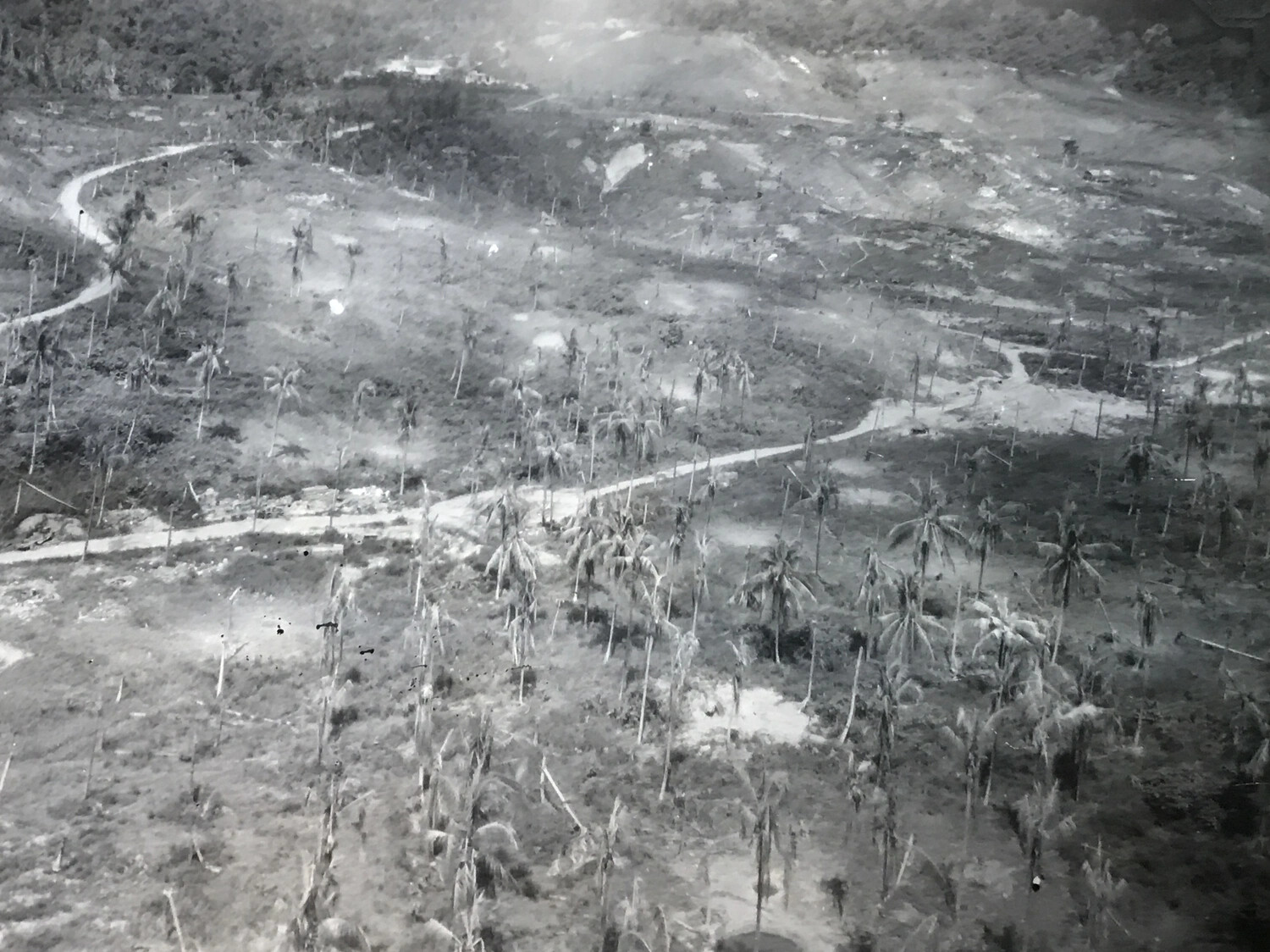
This low-altitude aerial photograph shows the hilly plantation terrain near Wewak, New Guinea, known within this collection as Brandy Plantation. Winding roads and coconut groves, some damaged by bombing, cover the landscape studied by Fifth Air Force reconnaissance crews, including the 312th Bomb Group, as they sought to identify and target Japanese positions concealed beneath the plantation canopy during the 1943 New Guinea campaign. Project: 218561