The Snapshots in Time Collection
Low-Altitude Aerial View of a Plantation Building Complex and Cratered Terrain
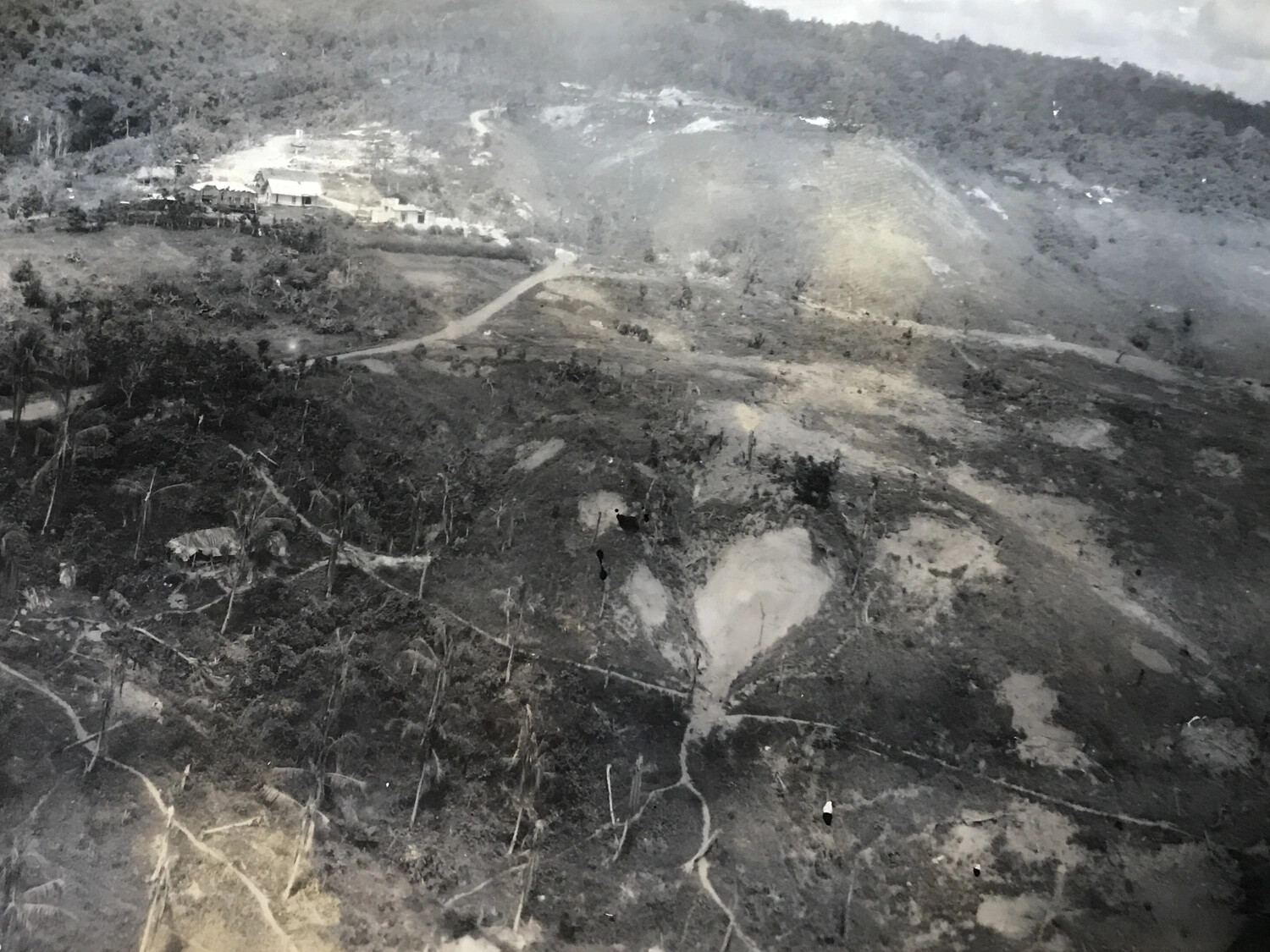
This aerial photograph shows a plantation building complex and its surrounding grounds, scarred by extensive shelling or bombing. Images like this were used by Allied reconnaissance crews to document terrain and damage assessment during the fighting for contested Pacific territory, in the same operational area supported by the 312th Bomb Group's air missions. Project: 218559