The Snapshots in Time Collection
Aerial Reconnaissance Photograph of Airfield/Road Network Target Area, Pacific Theater
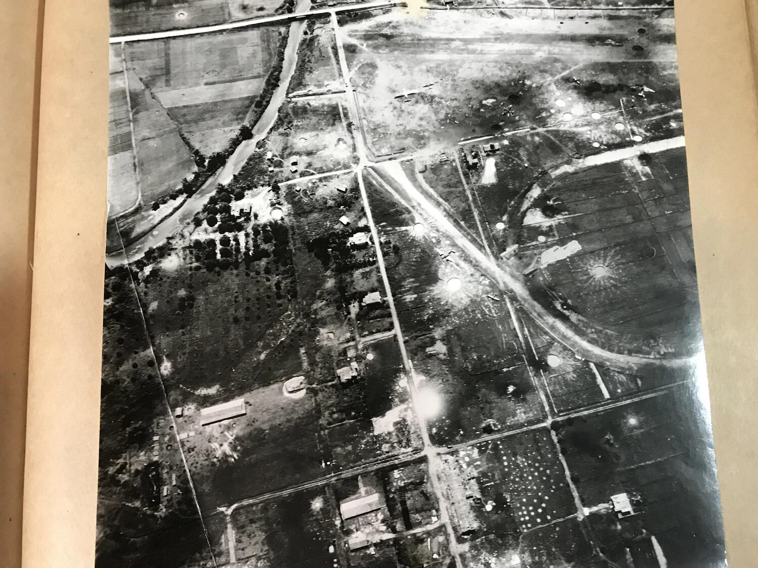
This wartime aerial reconnaissance photograph, preserved in a 312th Bombardment Group veteran's personal album, illustrates the type of target imagery used by Fifth Air Force units during Pacific campaigns. High-altitude photographs like this one were used to identify enemy airfields, dispersal areas, and road networks prior to and following bombing missions, allowing intelligence officers to assess strike results and plan future operations against Japanese positions in New Guinea and the Philippines. Project: 218556