The Snapshots in Time Collection
Vertical Aerial Reconnaissance Photograph of Rural Town and Transportation Hub, Pacific Theater, WWII
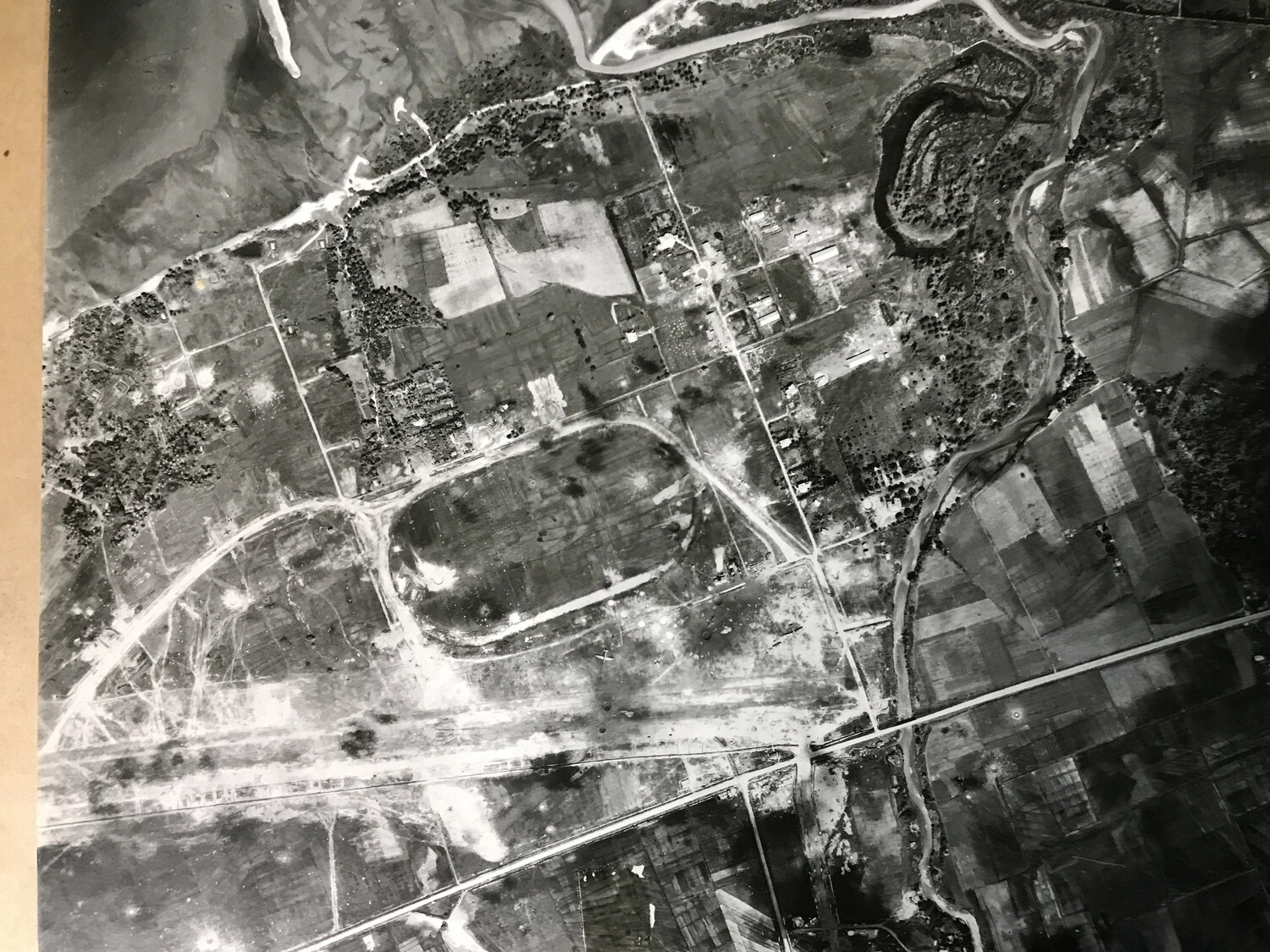
This vertical reconnaissance photograph, taken straight down from altitude, captured a rural town, rail line, and river bend for use in mission planning and bomb damage assessment. Photographs like this formed the backbone of Fifth Air Force intelligence work, allowing planners to identify and track targets in support of bombardment missions such as those flown by the 312th Bombardment Group. Project: 218556