The Snapshots in Time Collection
Aerial Reconnaissance View of Rural Valley with Circular Earthworks
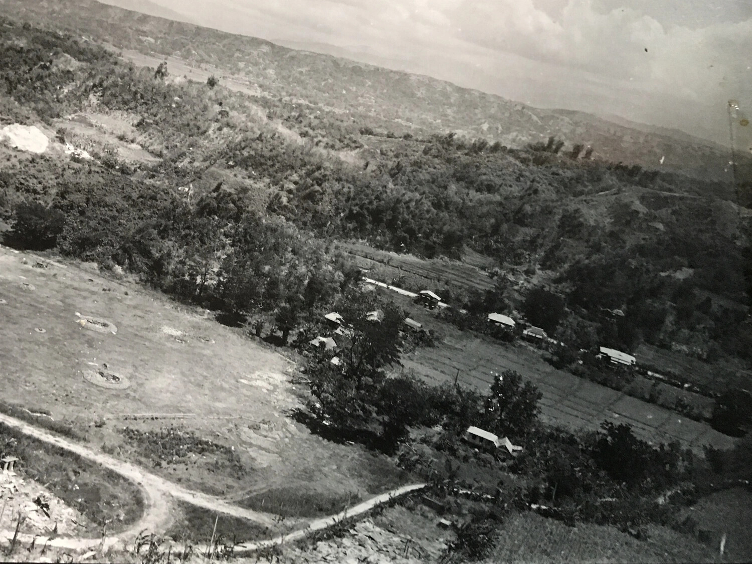
This aerial reconnaissance photograph surveys a rural valley in the Philippines, documenting circular earthworks that may represent gun emplacements amid cultivated fields and scattered dwellings. Images such as this supported target identification and terrain analysis for 312th Bomb Group missions during the Luzon campaign of 1944-1945. Project: 218553