The Snapshots in Time Collection
Aerial View of Cultivated Fields with Circular Earthworks and Smoke Plume
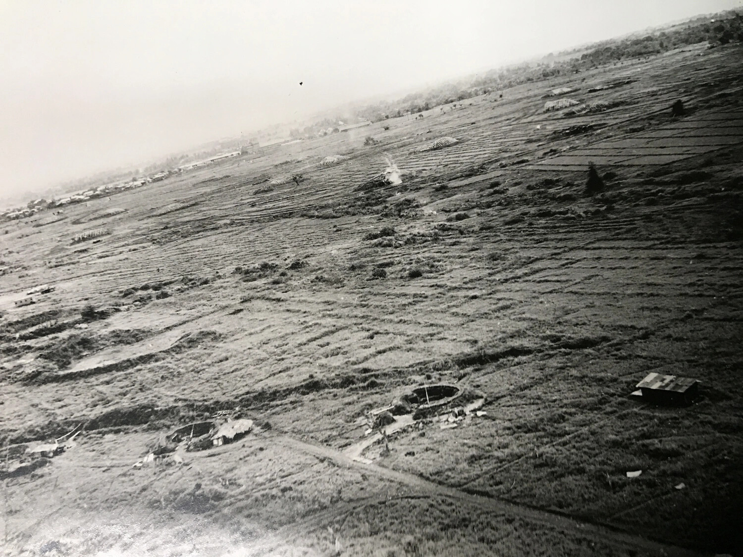
This aerial reconnaissance photograph surveys a rural landscape of cultivated fields, circular earthworks, and scattered dwellings, with a thin plume of smoke marking a recent bomb strike. Photographs like this helped 312th Bomb Group crews assess terrain, identify defensive positions, and evaluate strike results during operations over the Philippines and New Guinea. Project: 218553