The Snapshots in Time Collection
Gallery: Part 1
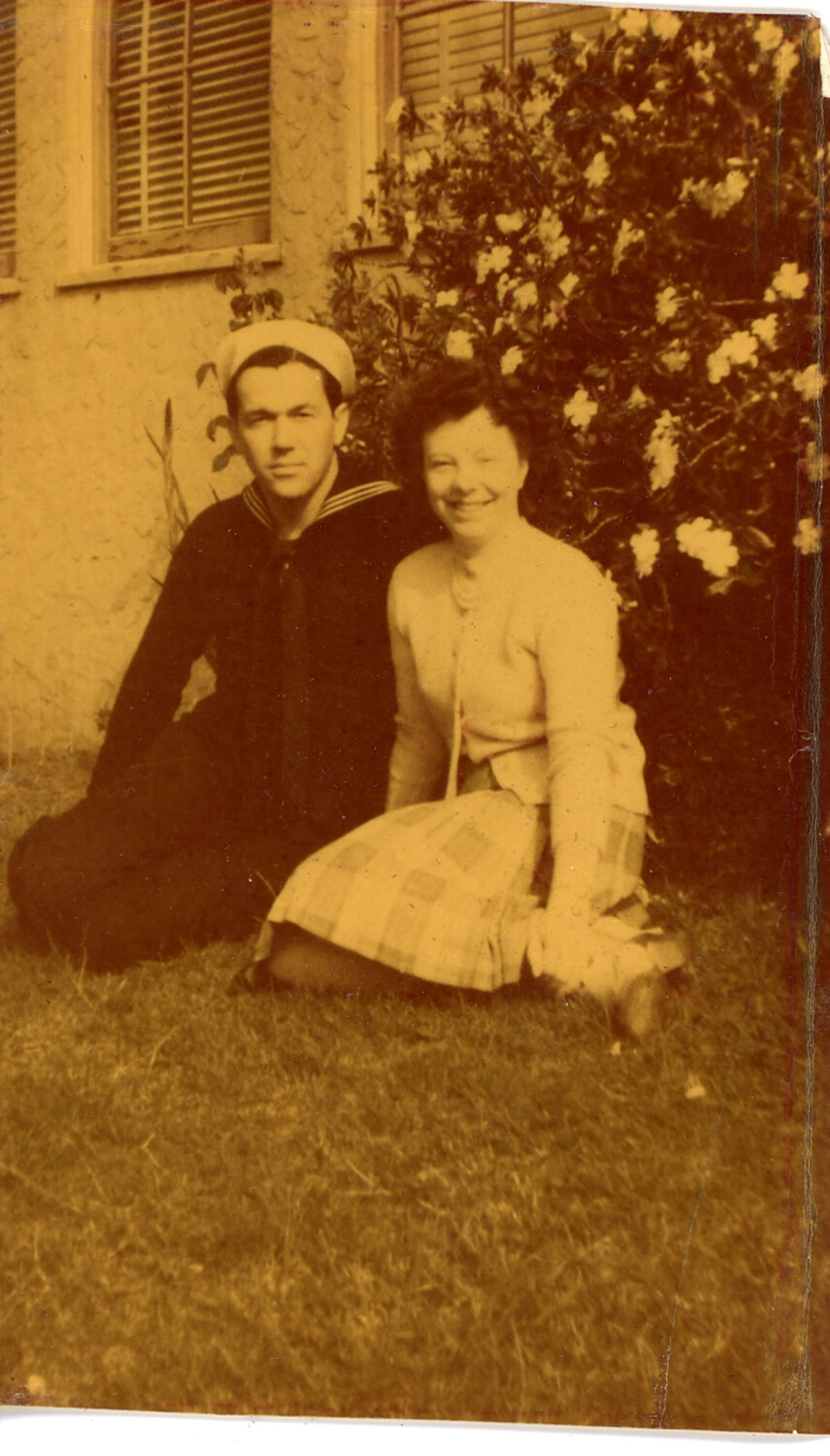
Wartime snapshots from the Hawaiian Islands pair aerial views of military airfields, coastal towns, and cloud-wreathed volcanic peaks with quiet scenes of palm groves, lava shorelines, and unpaved island roads. A crashed B-17, a keepsake sailor's portrait, and a reconnaissance view of a European river viaduct extend the collection beyond the Pacific.
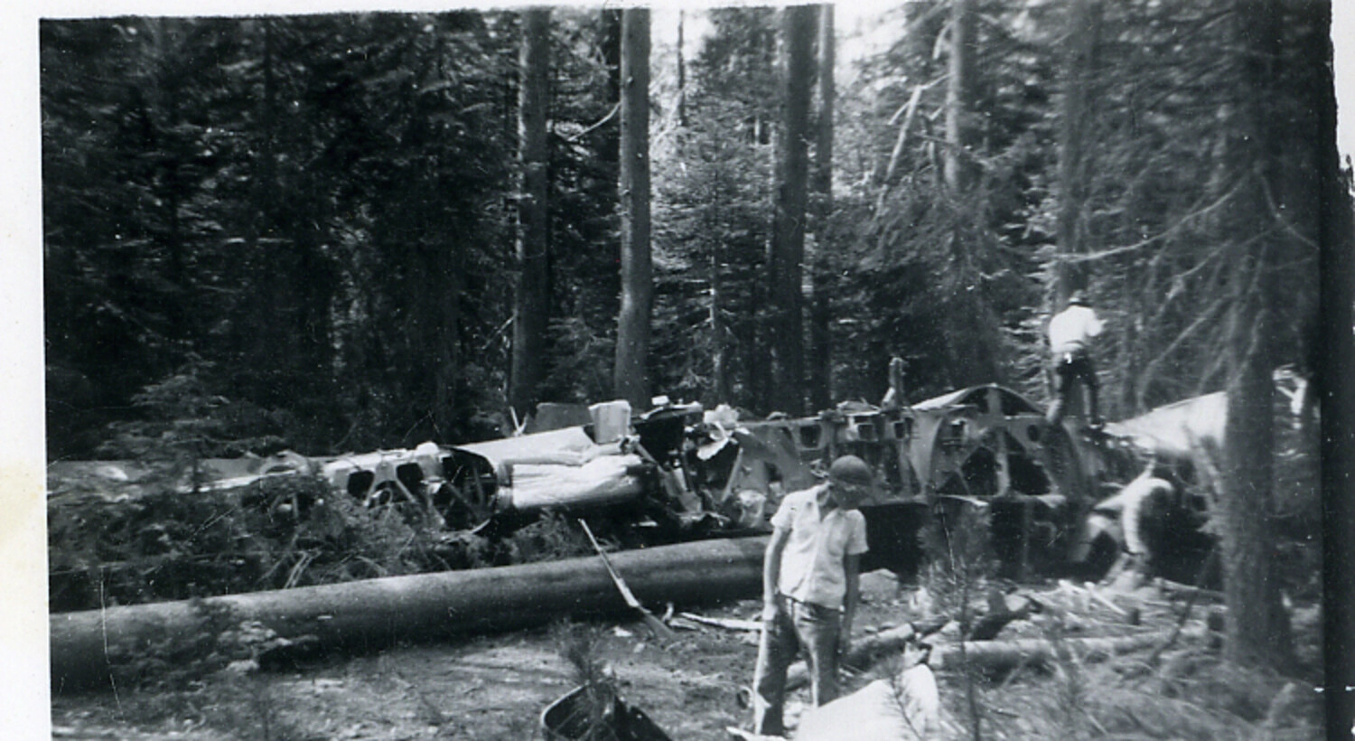
Wreckage of Boeing B-17 Flying Fortress in Forest Crash Site
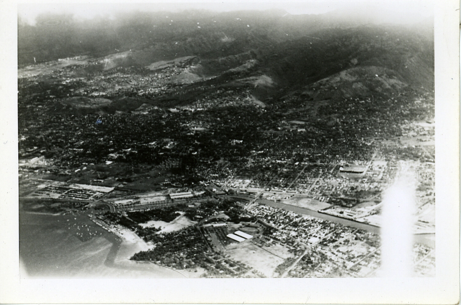
Aerial View of Coastal Town, Hawaii, WWII Era
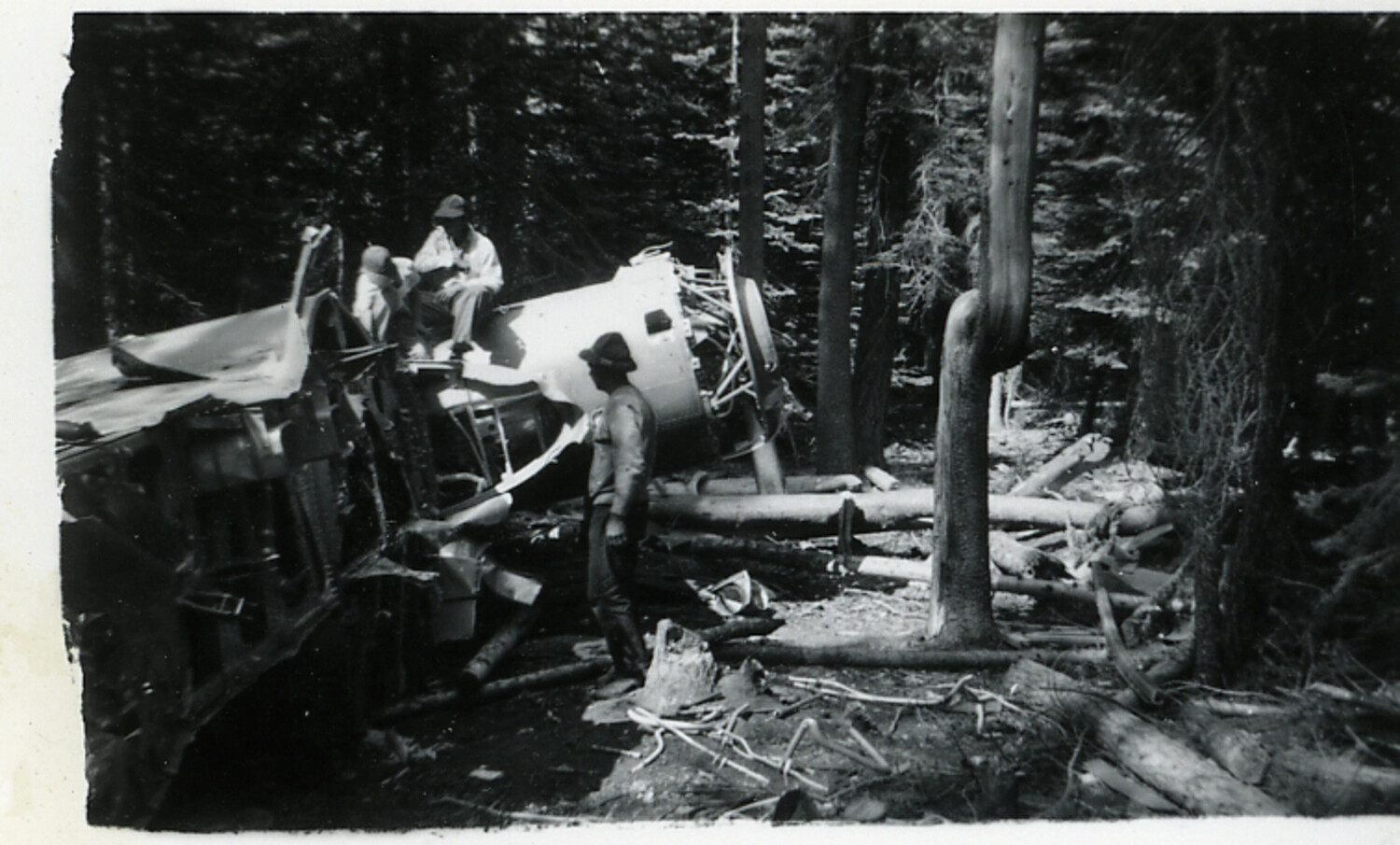
Close View of B-17 Flying Fortress Crash Site Wreckage in Forest
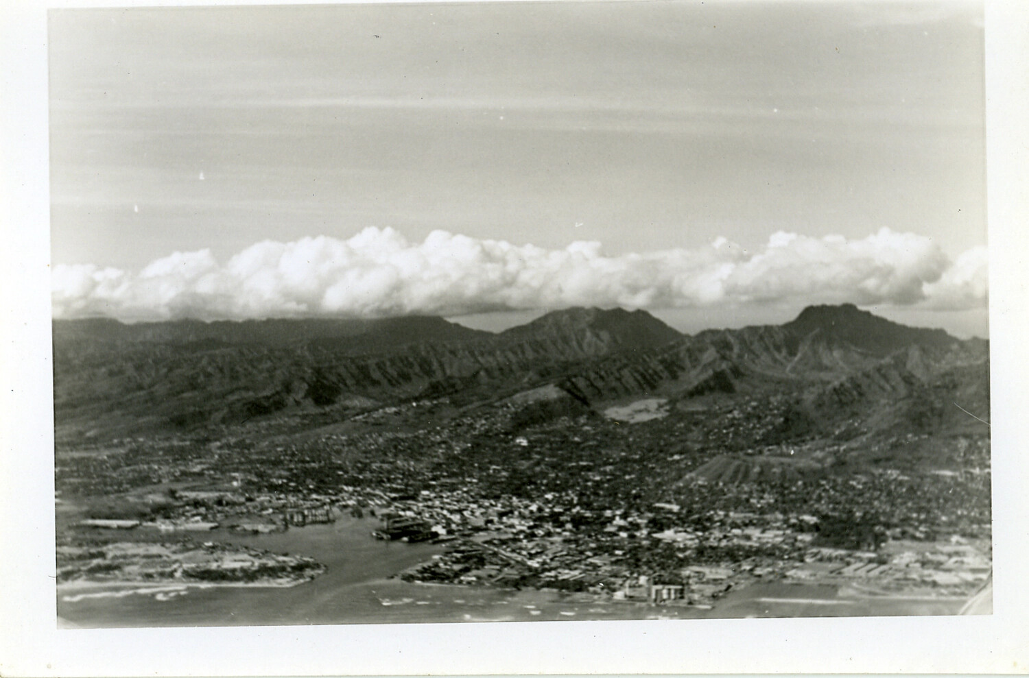
Aerial View of Honolulu Harbor and Coastal City, Oahu, Hawaii, World War II Era
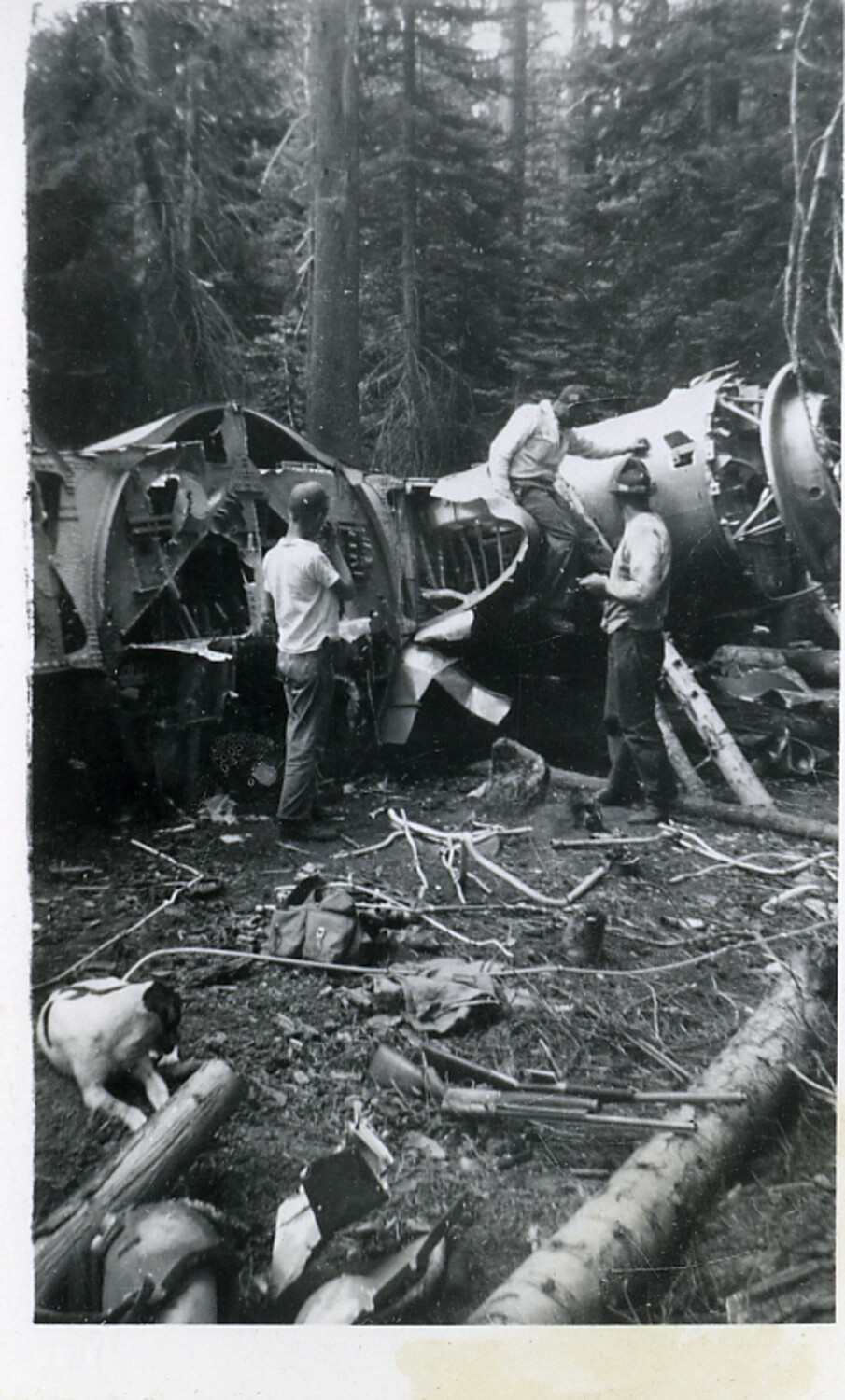
Wreckage of B-17 Flying Fortress Bomber in Forest Crash Site, Fuselage and Engine Nacelle Detail
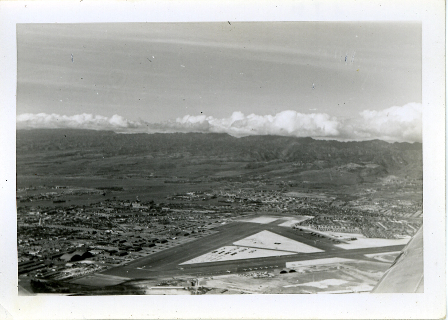
Aerial View of Oahu Military Airfield with Triangular Runway Layout, Hawaii, WWII Era
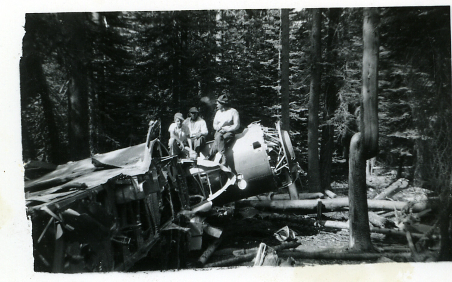
Wreckage of B-17 Flying Fortress Bomber in Forest, Wing and Engine Section with Onlookers
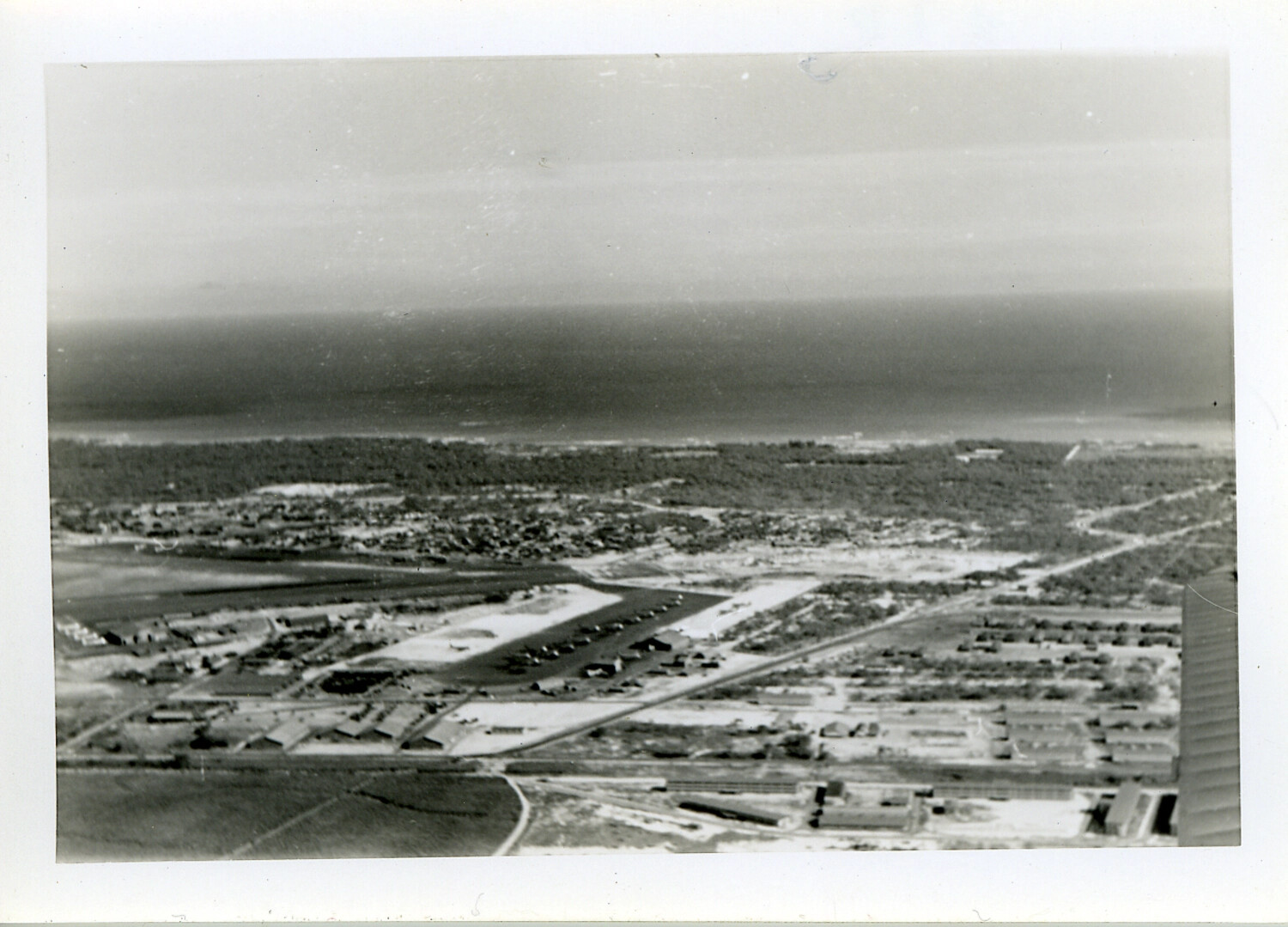
Aerial View of Coastal Military Airfield and Base Complex, Hawaii, WWII Era
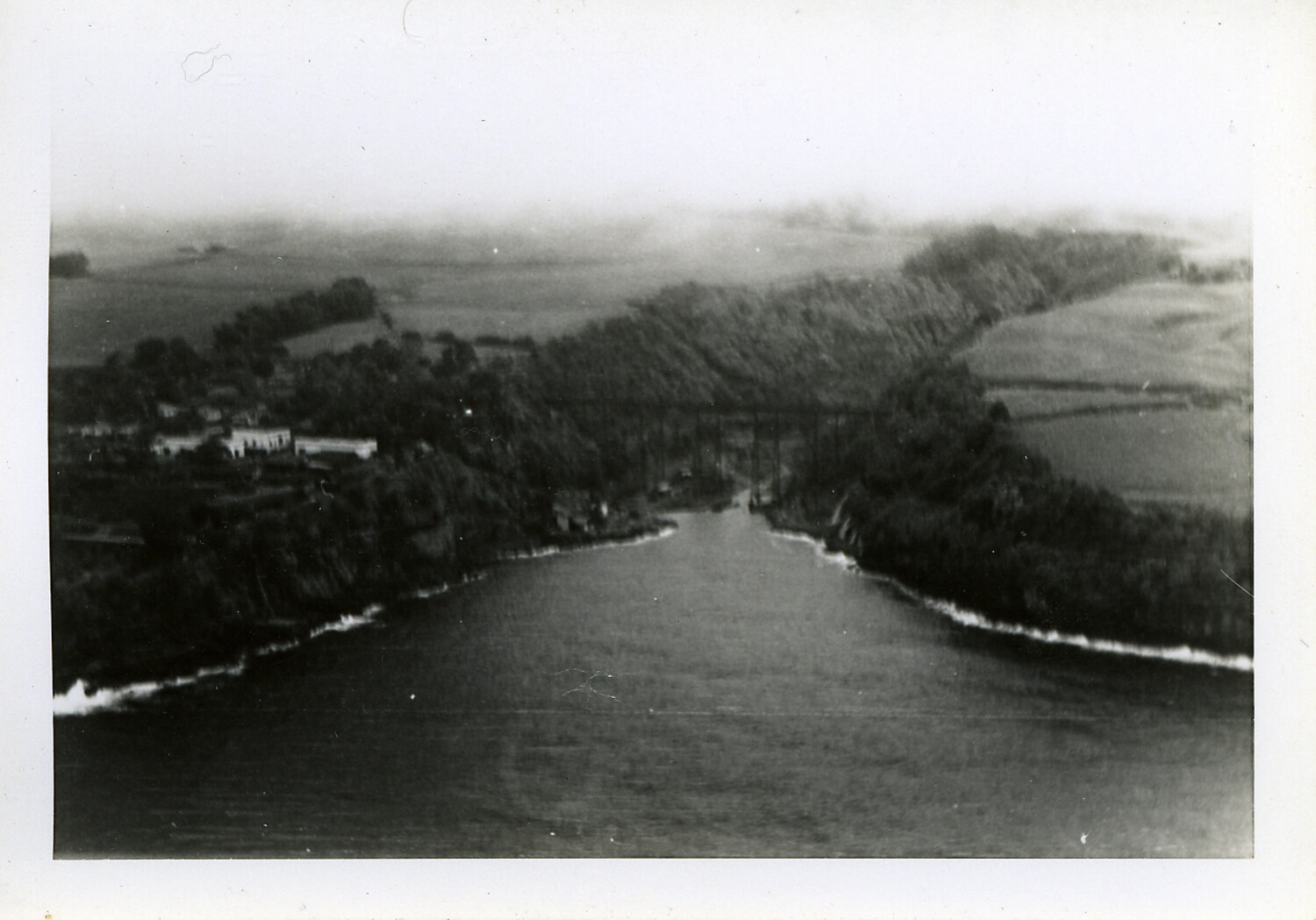
Aerial Reconnaissance View of River Valley with Trestle Viaduct, Possible European Theater
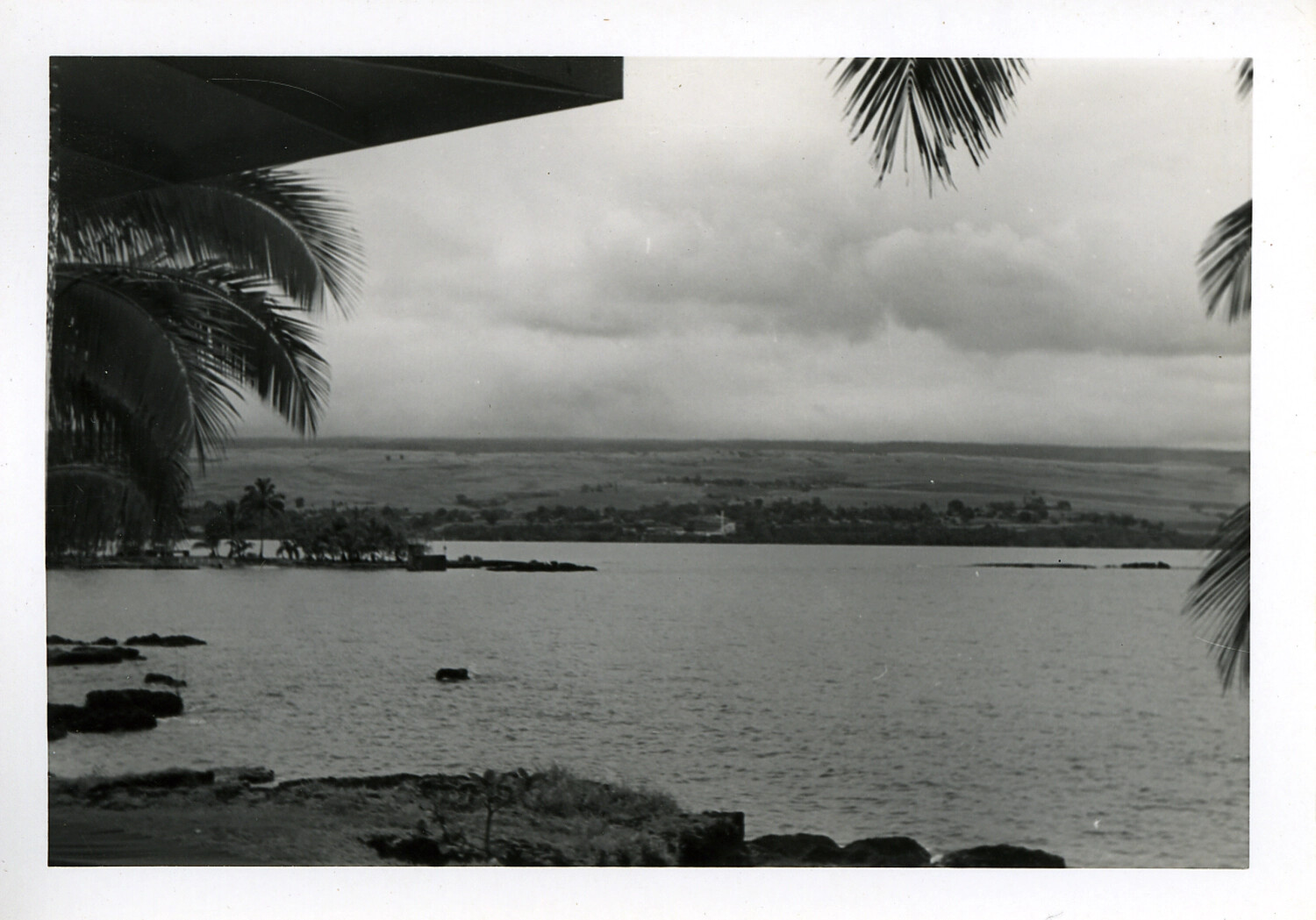
Coastal Bay View with Palm Fronds and Lava Shoreline, Hawaii
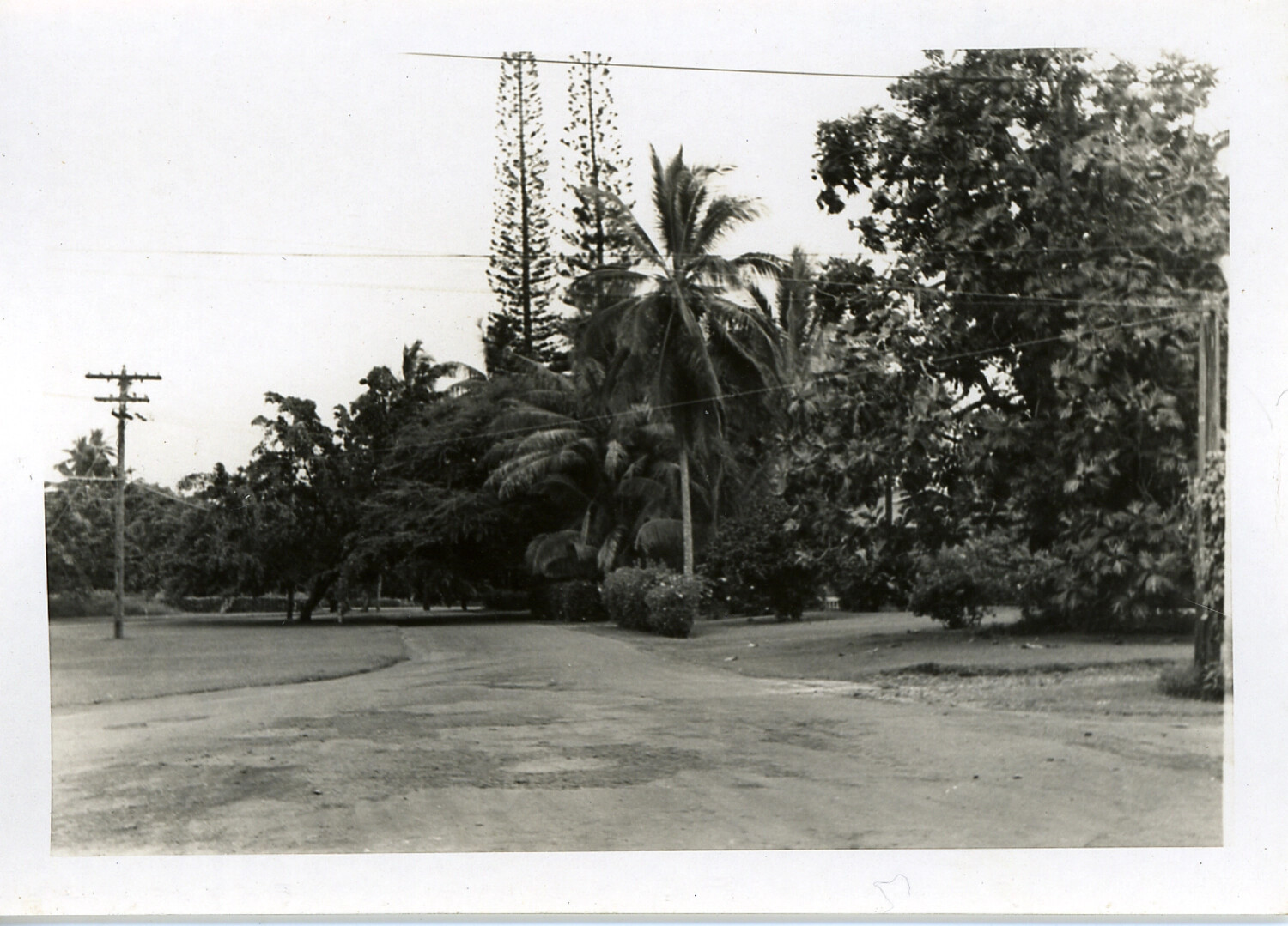
Unpaved Road with Tropical Landscaping and Utility Pole, Hawaii
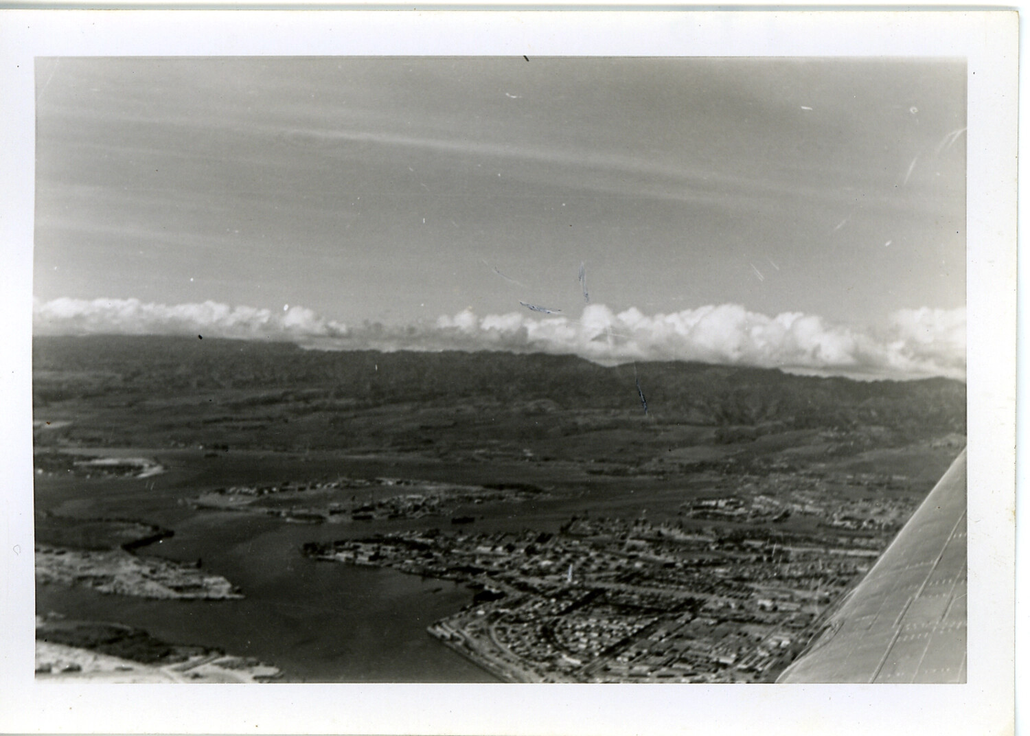
Aerial View of Oahu Harbor Inlet and Township with Aircraft Wing in Frame, Hawaii
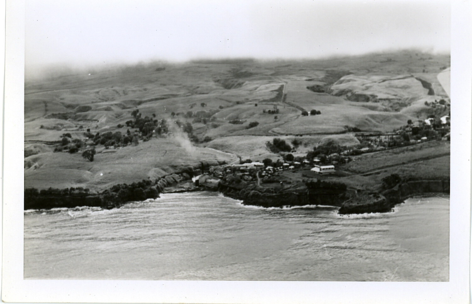
Aerial View of Coastal Village and Grassland Ranchland, Hawaii
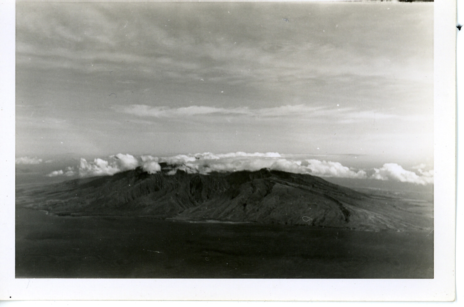
Aerial View of Hawaiian Volcanic Mountain with Cloud Band, Hawaii
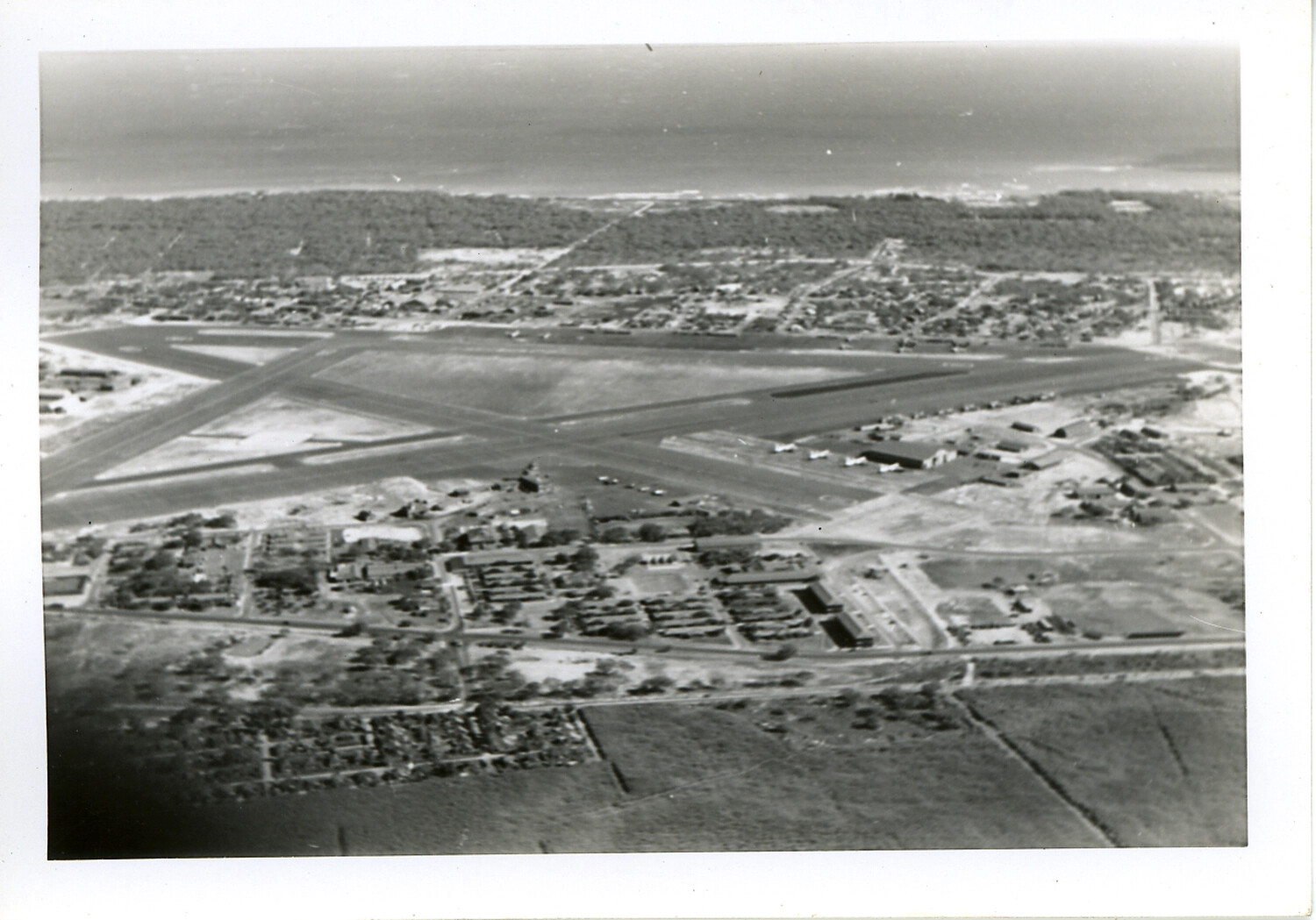
Aerial View of Crossed-Runway Military Airfield near Coastline, Hawaii
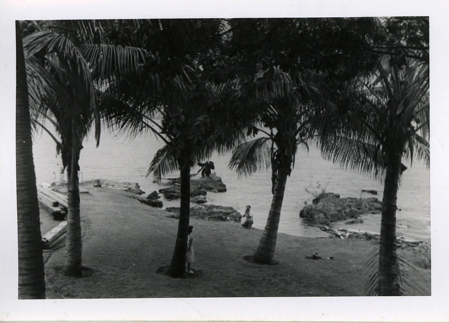
Palm-Fringed Shoreline with Figures by the Water, Hawaii
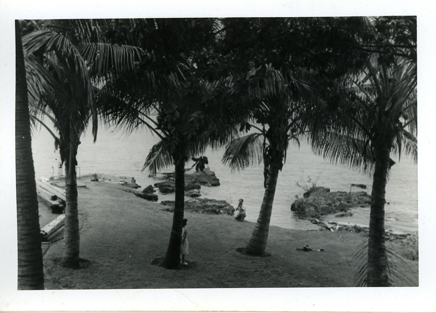
Coastal Palm Grove Scene, Hawaii, World War II Era
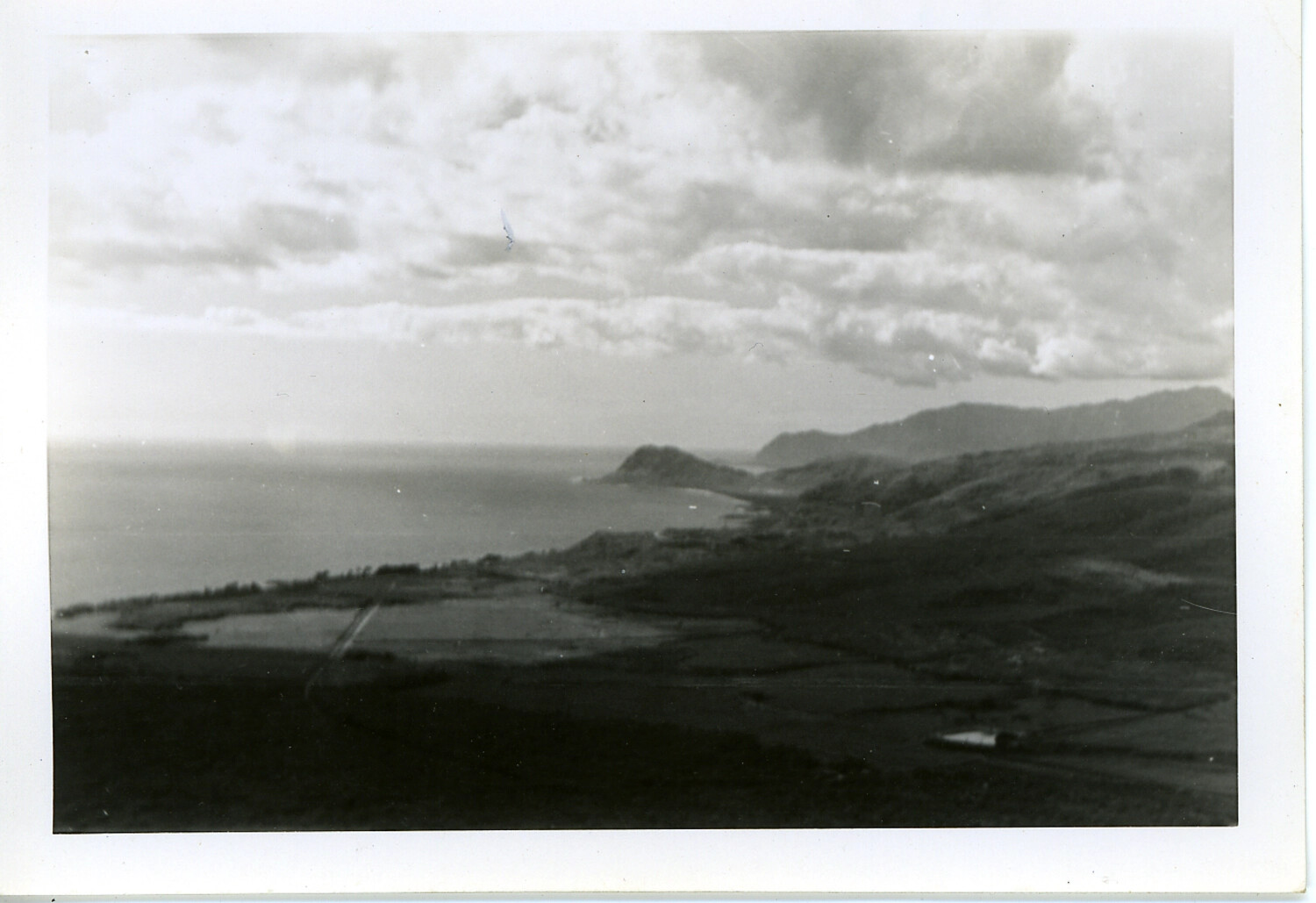
Aerial View of Hawaiian Coastline and Agricultural Fields, Oahu, World War II Era
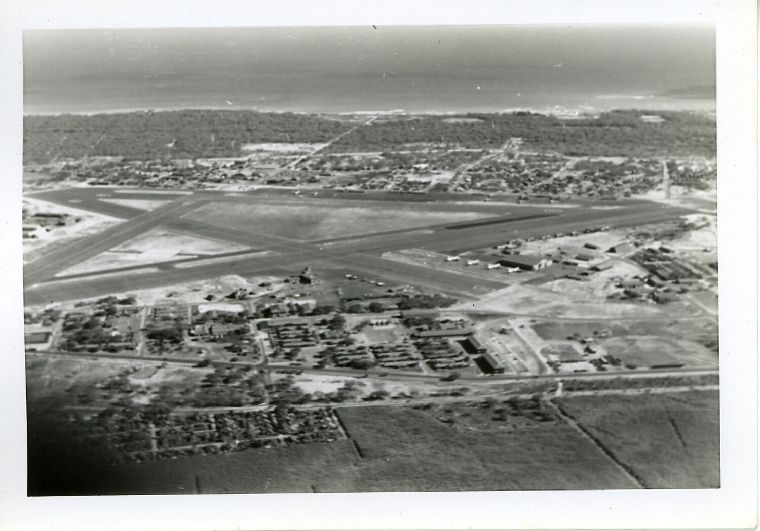
Aerial View of Crossed-Runway Military Airfield near Coastline, Hawaii (Second Frame)
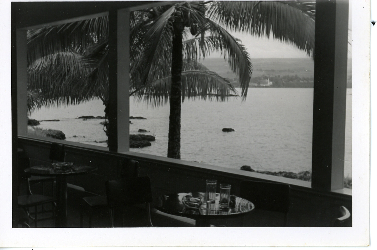
View from Waterfront Restaurant Lanai with Palm Tree and Bay, Hawaii
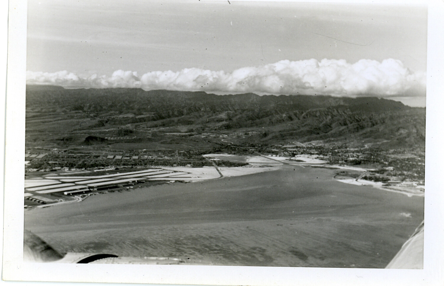
Aerial View of Seaplane Base with Finger Piers on Bay, Possible NAS Kaneohe Bay, Hawaii
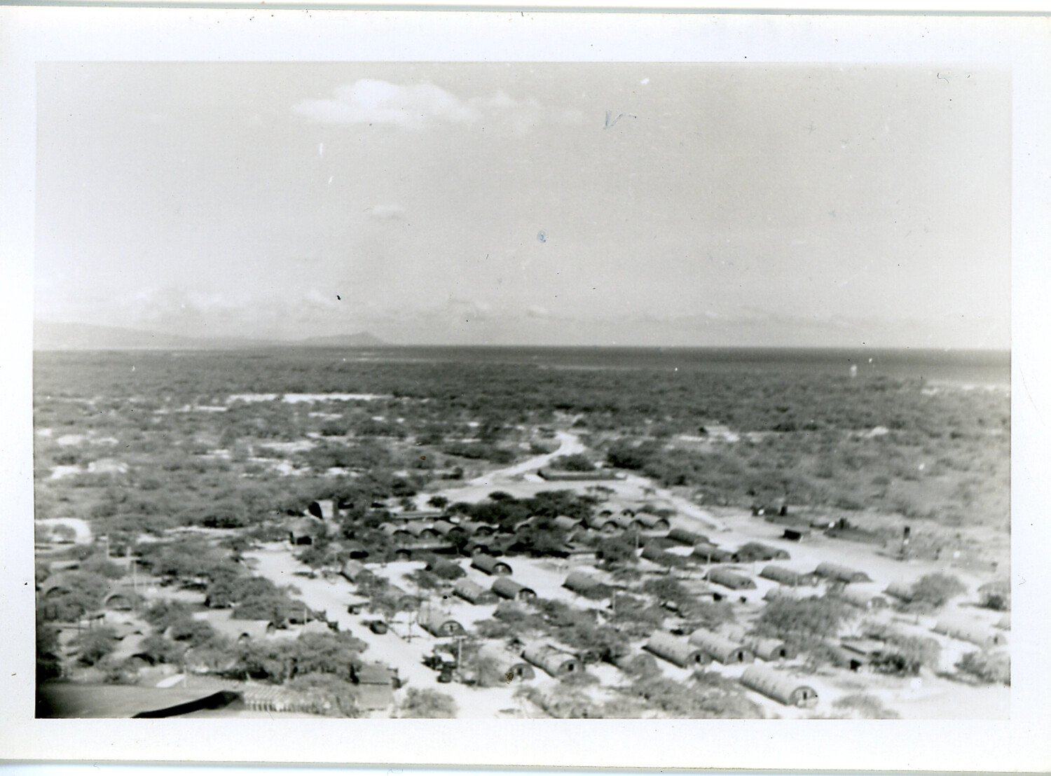
Elevated View of Quonset Hut Military Encampment, Hawaii, WWII Era
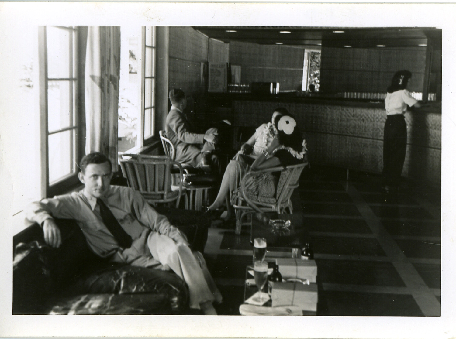
Servicemen and Guests in Hotel Lounge with Hibiscus-Adorned Woman, Hawaii, WWII Era