The Snapshots in Time Collection
Aerial Reconnaissance View of Japanese Town and Agricultural Fields, Okinawa Area
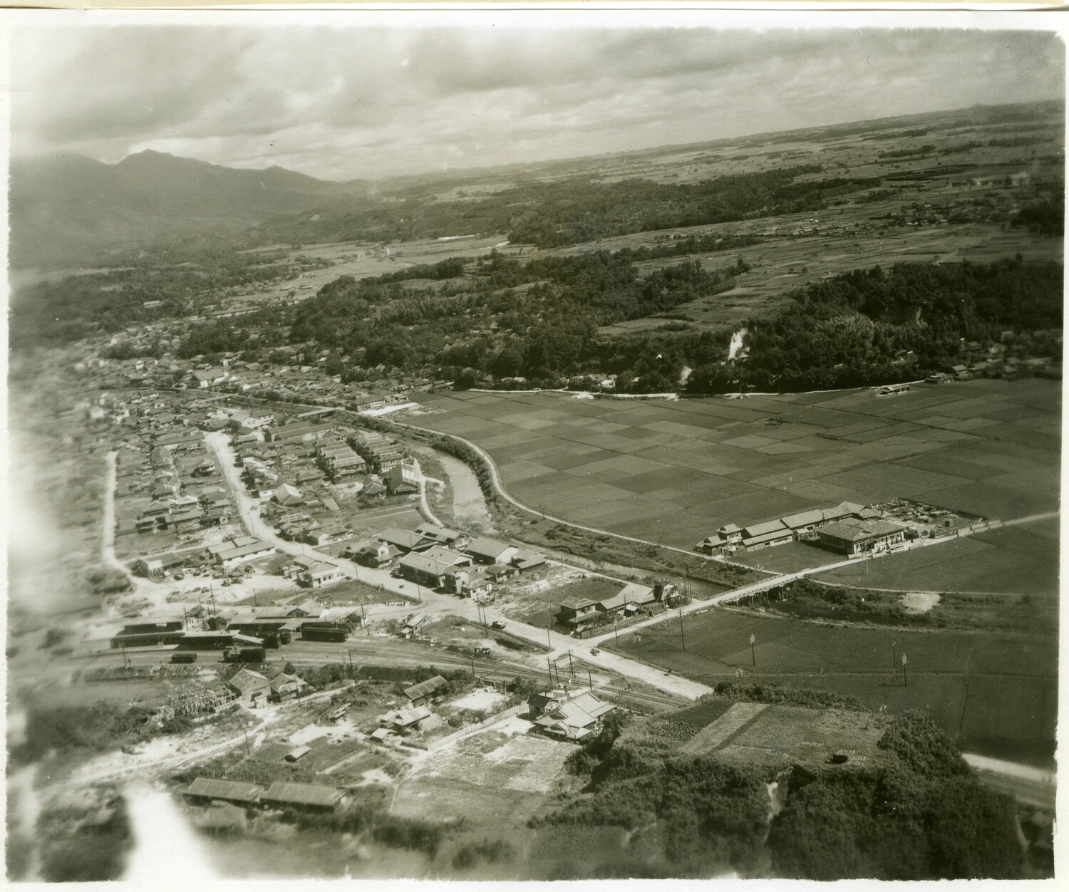
This aerial reconnaissance photograph captures a rural Japanese town surrounded by rice paddies and rail infrastructure, likely taken during the Okinawa campaign of 1945. Aerial photography of this type was extensively used by U.S. forces to map terrain, identify infrastructure, and plan ground operations across the Ryukyu Islands and mainland Japan during the closing months of World War II. Project: 218478