The Snapshots in Time Collection
Aerial Reconnaissance Photograph of Pacific Island Airfield, WWII
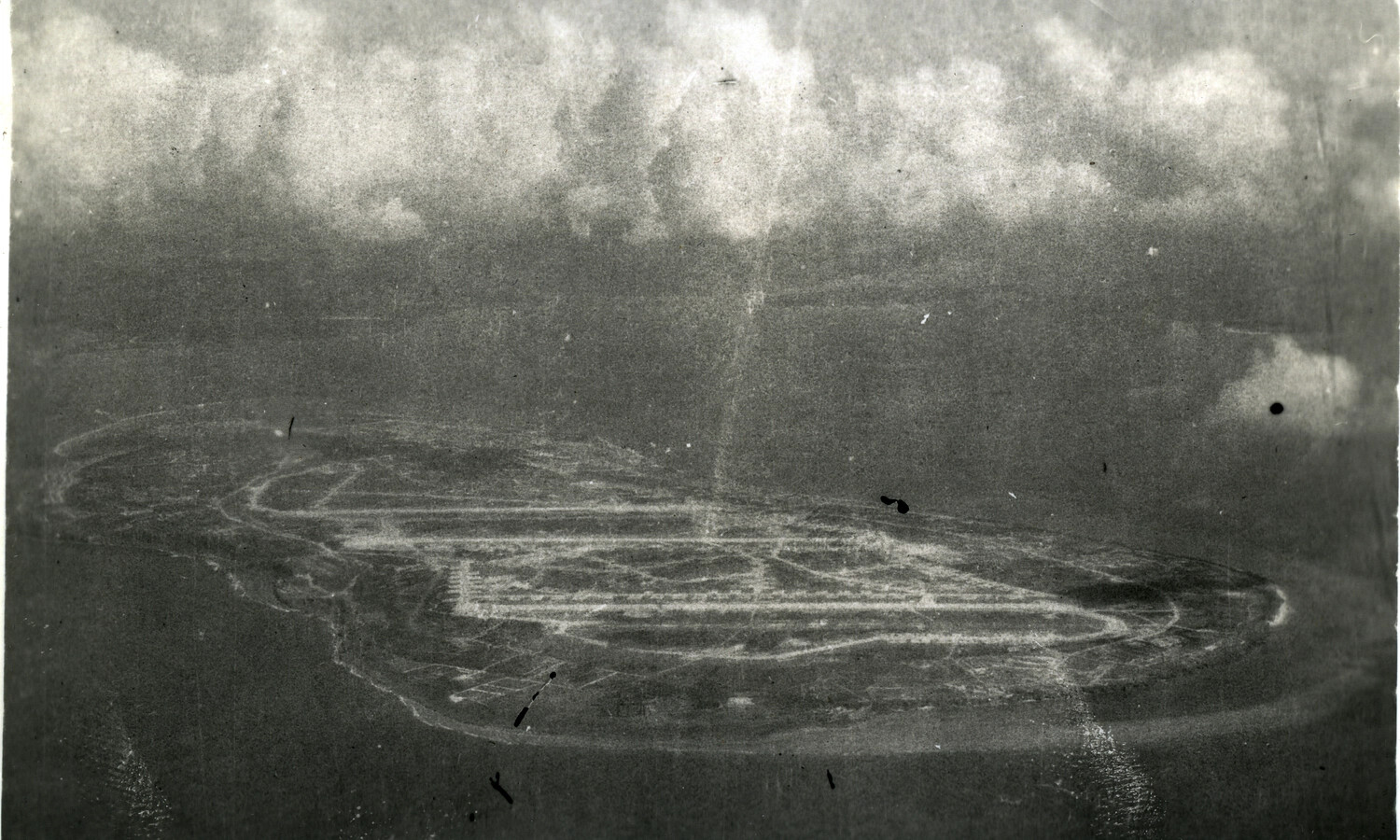
This aerial reconnaissance photograph captures a small Pacific island airfield from altitude, its runway and taxiway network etched clearly into the landscape below. Photographs like this one were vital tools for Allied planners assessing enemy air capabilities and planning operations during the 1945 Okinawa campaign. Project: 218478