The Snapshots in Time Collection
Printed Infographic Map of Aerial Strike Missions, Pacific Theater, WWII Unit History (Petrof Bay Collection)
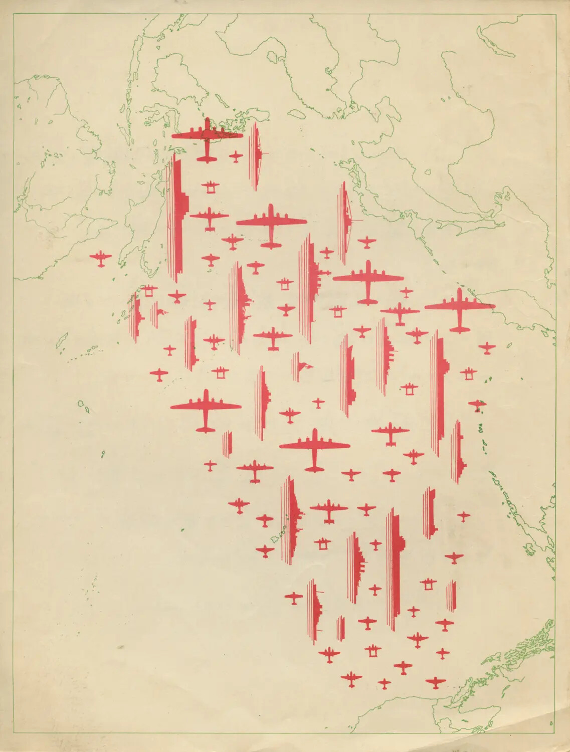
This printed infographic, part of the USS Petrof Bay (CVE-80) collection, uses aircraft silhouettes and bar-chart symbols overlaid on a coastal map to visually summarize air strike operations conducted during World War II. Graphics like this were commonly included in squadron war diaries and ship's cruise books to illustrate the scale of aerial combat operations to a general audience. Project: 218459