The Snapshots in Time Collection
Vertical Aerial Reconnaissance Photograph of Wesermünde/Bremerhaven Harbor, WWII
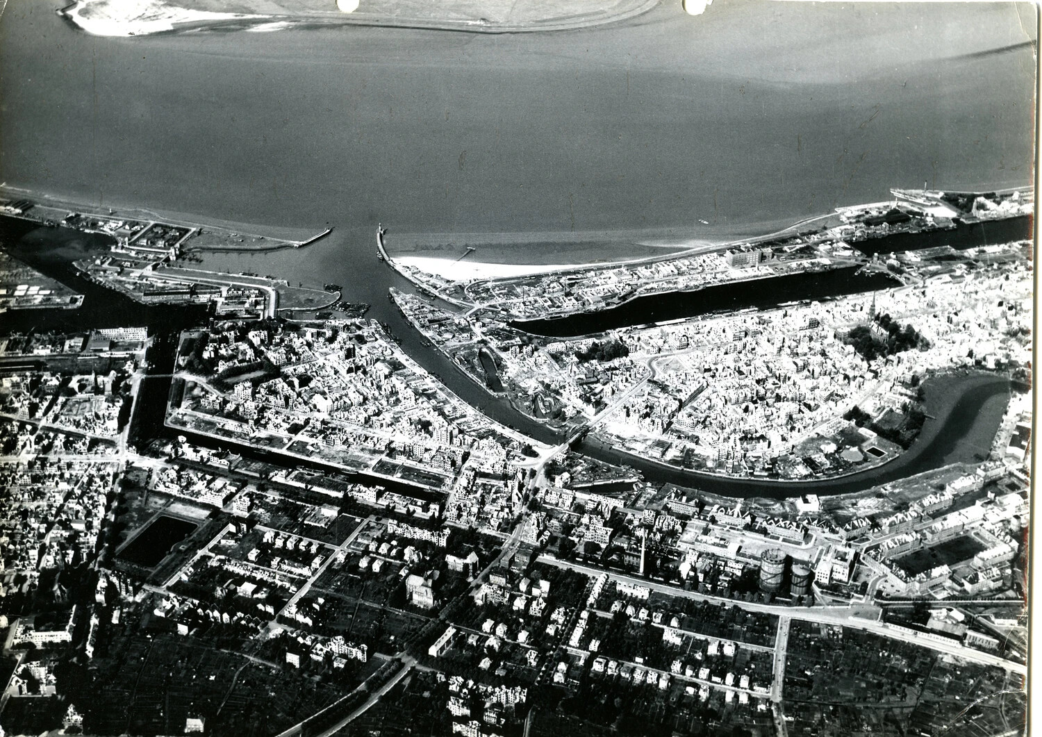
This vertical aerial reconnaissance photograph captures the full extent of Wesermünde/Bremerhaven's harbor and urban layout at the mouth of the Weser River. Such images were used by Allied forces for navigation, targeting, and damage assessment throughout the war and its immediate aftermath. Project: 218450