The Snapshots in Time Collection
Verso of WWII Aerial Reconnaissance Photograph - Harbor Basin Data Card, Bremen/Wesermünde Area, Germany, 1945
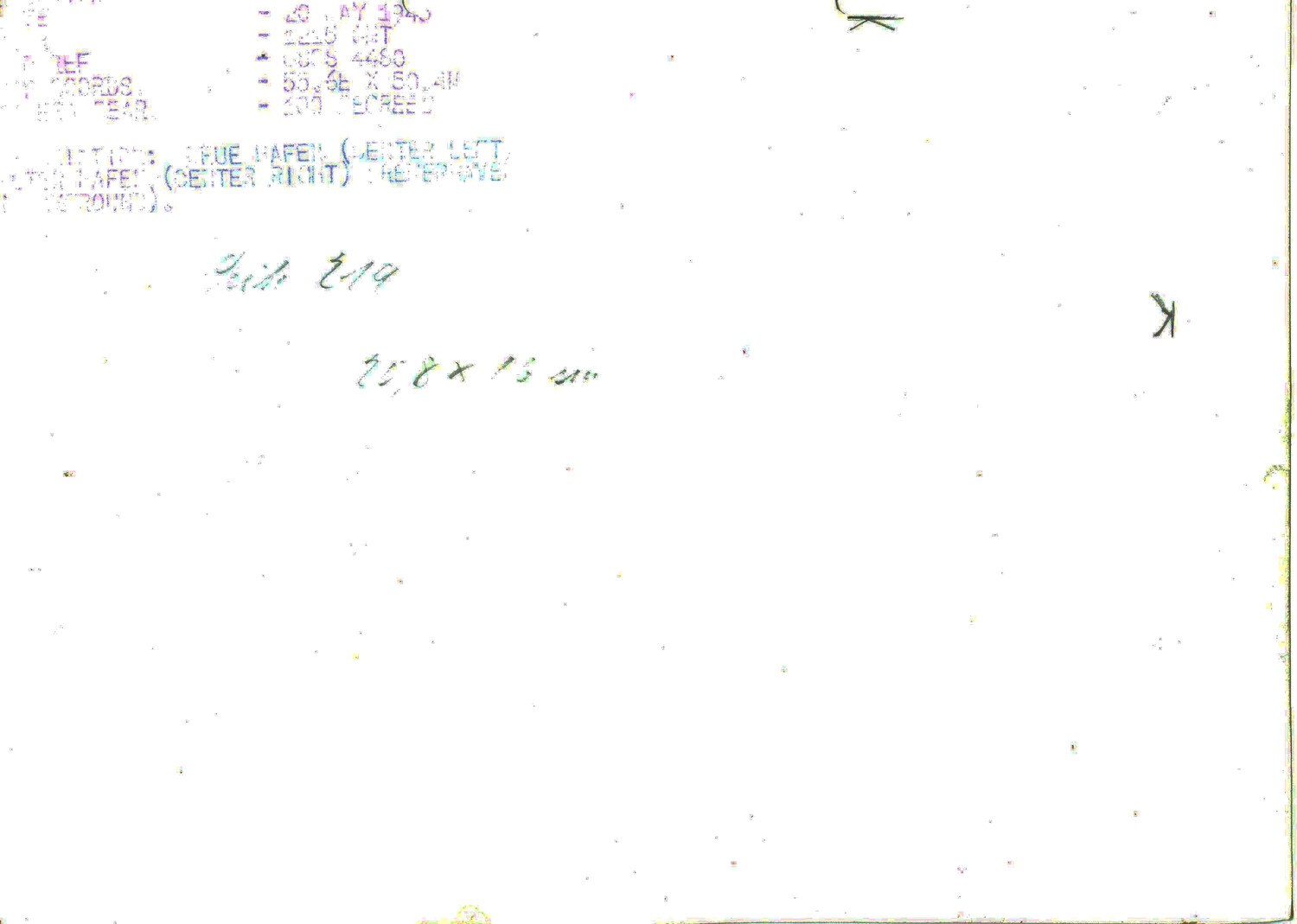
The faded reverse side of a WWII Allied aerial reconnaissance photograph, part of a series documenting German harbor facilities near Bremen in 1945. Though heavily faded, the stamped data block preserves the date, map reference, and coordinates used by Allied intelligence analysts to catalog reconnaissance imagery of enemy port infrastructure. Project: 218448