The Snapshots in Time Collection
Annotated Aerial Bird's-Eye View of a Japanese Coastal City with Numbered Target/Reference Markers, World War II
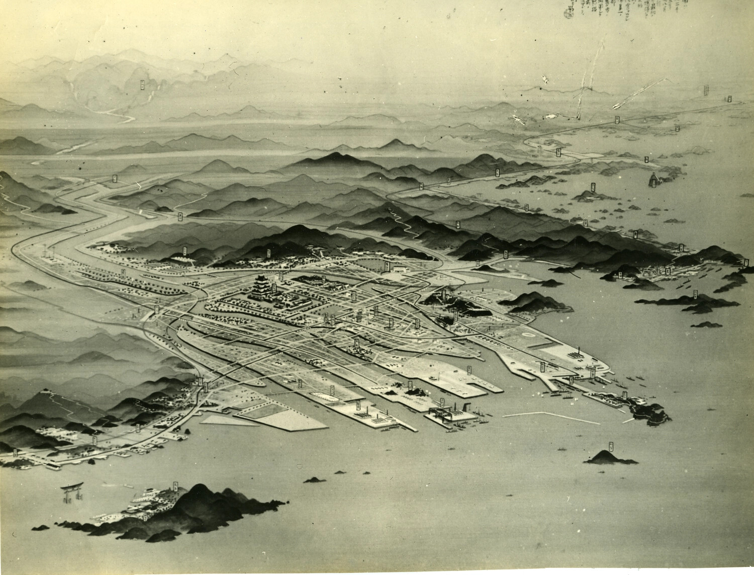
This annotated bird's-eye view depicts a Japanese coastal city, its castle, harbor, and surrounding terrain marked with numbered reference points, likely used for wartime target identification or post-war strategic bombing survey documentation. Such aerial reference materials were essential tools in the Allied air campaign against Japan's urban-industrial centers during the final years of World War II. Project: 218359