The Snapshots in Time Collection
Aerial Reconnaissance Photograph of a Town and Surrounding Agricultural Terrain, WWII Signal Corps Album
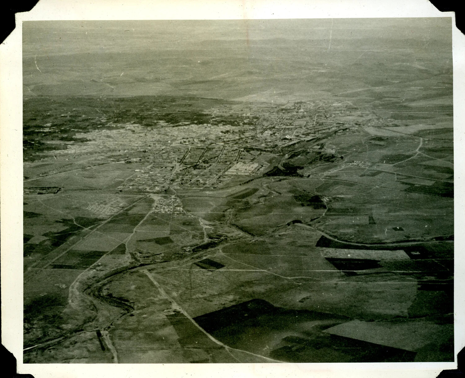
An aerial reconnaissance photograph captures a town and its surrounding farmland from above, likely taken by U.S. Army Signal Corps photographic units during World War II. Aerial images like this supported military intelligence and mapping efforts critical to planning Allied operations across North Africa and the Mediterranean. Project: 218290