The Snapshots in Time Collection
Aerial Photo-Mosaic Map of Kamaing Area, Burma, dated 29 March 1943 - CBI Theater Reconnaissance
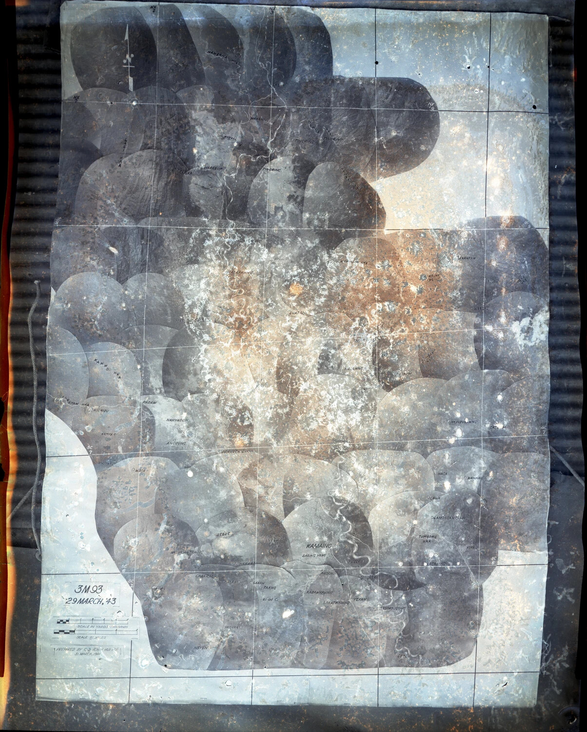
This deteriorated aerial photo-mosaic map depicts the Kamaing area of northern Burma, dated 29 March 1943, and was compiled from overlapping vertical reconnaissance photographs during the CBI Theater campaign. Maps like this, built from strips of aerial imagery stitched into a single composite, were essential tools for planning the Allied advance through the difficult jungle terrain of the Burma Campaign, including the fighting around Kamaing and the Mogaung Valley in 1944. Project: 218097