The Snapshots in Time Collection
Annotated Aerial Reconnaissance Photograph: Burmese Town with Rail Line, 'Road to Mandalay,' CBI Theater, WWII
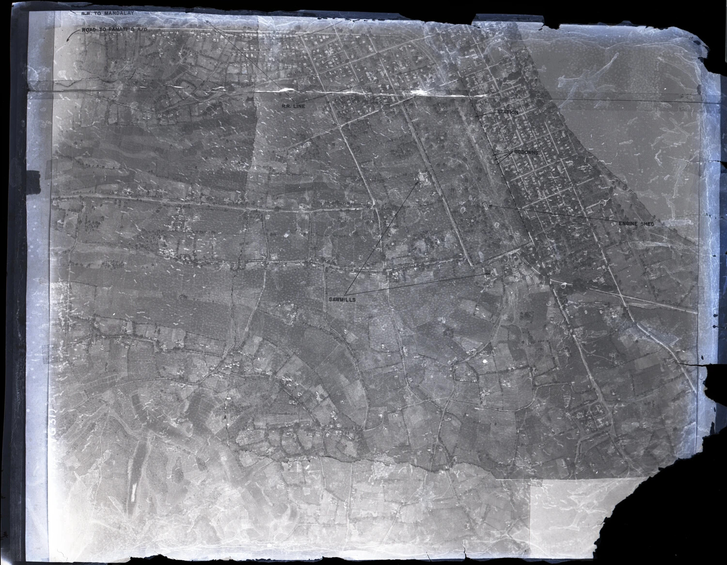
An annotated aerial reconnaissance photograph identifies rail infrastructure near Mandalay, Burma, including a station, engine shed, and warehouse ('godown') targets. Photographs like this, captured or recovered from Japanese sources and marked up by Allied intelligence analysts, supported strategic bombing and interdiction planning during the Burma Campaign of World War II. Project: 218097