The Snapshots in Time Collection
Aerial Reconnaissance Photograph of Mandalay Hill and the Irrawaddy River Valley, Burma, WWII
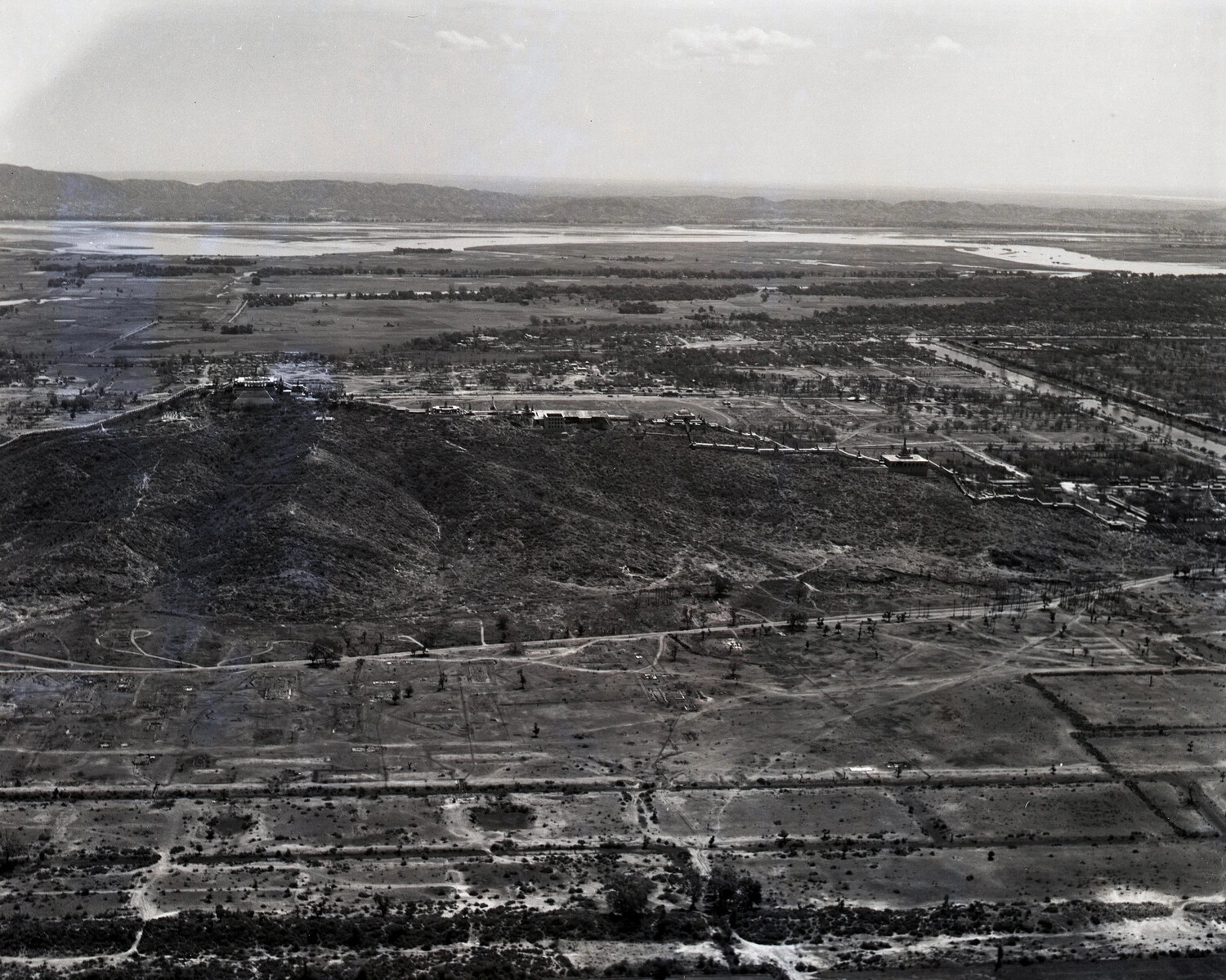
This aerial reconnaissance photograph shows Mandalay Hill, the sacred pagoda-crowned ridge overlooking the historic Burmese royal city of Mandalay, with the Irrawaddy River visible in the distance. Photographs like this were captured by Allied aircrews during the China-Burma-India campaign to support military planning, including the 1945 Battle of Mandalay, in which Allied forces recaptured the city from Japanese occupation. The image documents both the region's distinctive religious architecture and its strategic significance during the war. Project: 218075