The Snapshots in Time Collection
WWII CBI Theater Operations Map with Hand-Plotted Flight Routes, East and Southeast Asia
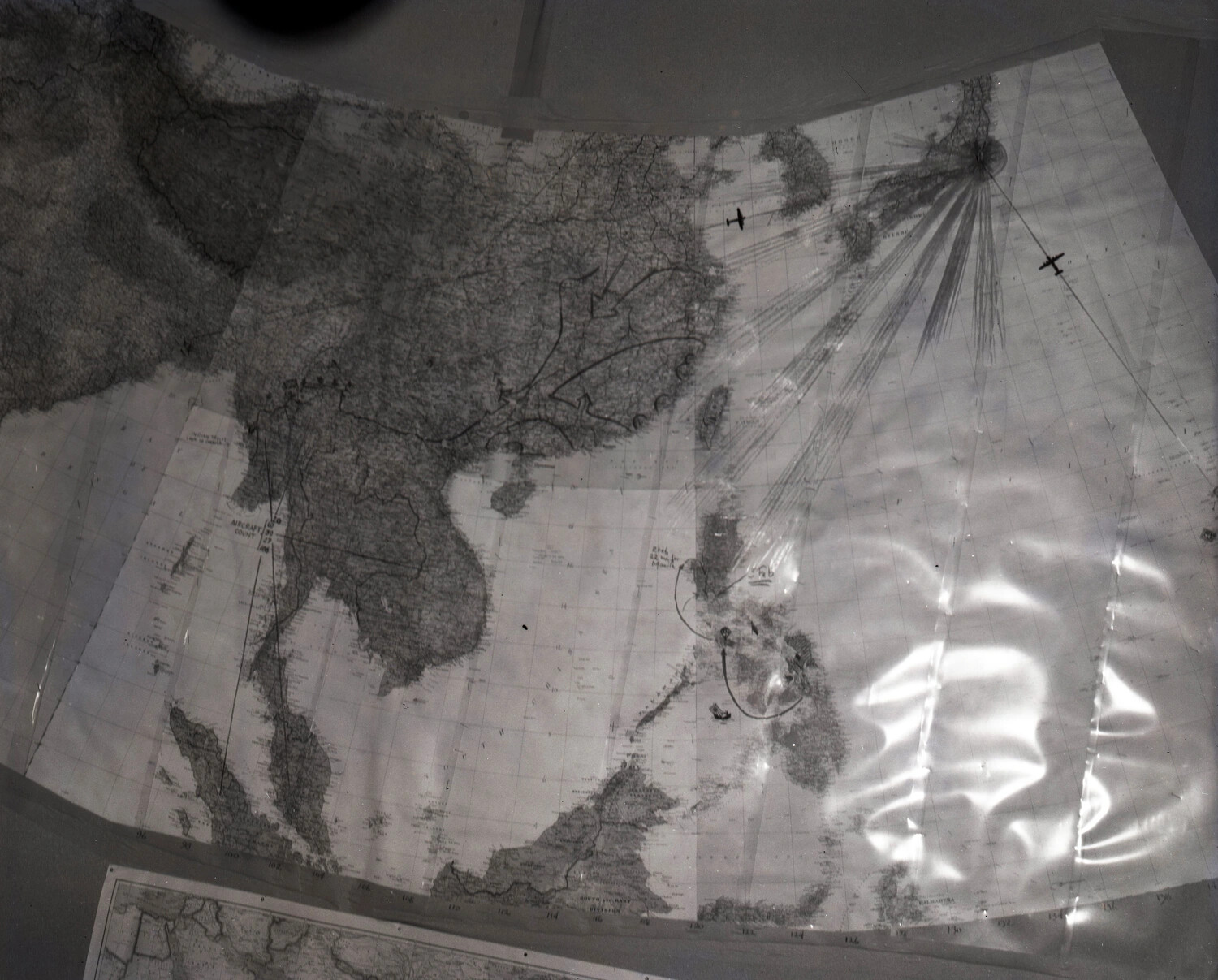
A wartime operations map of China, Southeast Asia, and the Philippines, marked with hand-plotted flight routes radiating toward Japan. Maps like this were used by Allied air forces in the China-Burma-India Theater to plan long-range bombing and transport missions during World War II. Project: 218066